Cookies help us deliver our services. By using our services, you agree to our use of cookies. Learn more.
  • Log In
  • Register
CEEOL Logo
Advanced Search
  • Home
  • SUBJECT AREAS
  • PUBLISHERS
  • JOURNALS
  • eBooks
  • GREY LITERATURE
  • CEEOL-DIGITS
  • INDIVIDUAL ACCOUNT
  • Help
  • Contact
  • for LIBRARIANS
  • for PUBLISHERS

Content Type

Subjects

Languages

Legend

  • Journal
  • Article
  • Book
  • Chapter
  • Open Access
  • Geography, Regional studies
  • Maps / Cartography

We kindly inform you that, as long as the subject affiliation of our 300.000+ articles is in progress, you might get unsufficient or no results on your third level or second level search. In this case, please broaden your search criteria.

Result 321-340 of 1162
  • Prev
  • 1
  • 2
  • 3
  • ...
  • 16
  • 17
  • 18
  • ...
  • 57
  • 58
  • 59
  • Next
Historical Atlas of Polish Towns. Between Source Edition and the Cartographic Presentation of Research on the History of Towns

Historical Atlas of Polish Towns. Between Source Edition and the Cartographic Presentation of Research on the History of Towns

Author(s): Roman Czaja / Language(s): English Issue: 6/2018

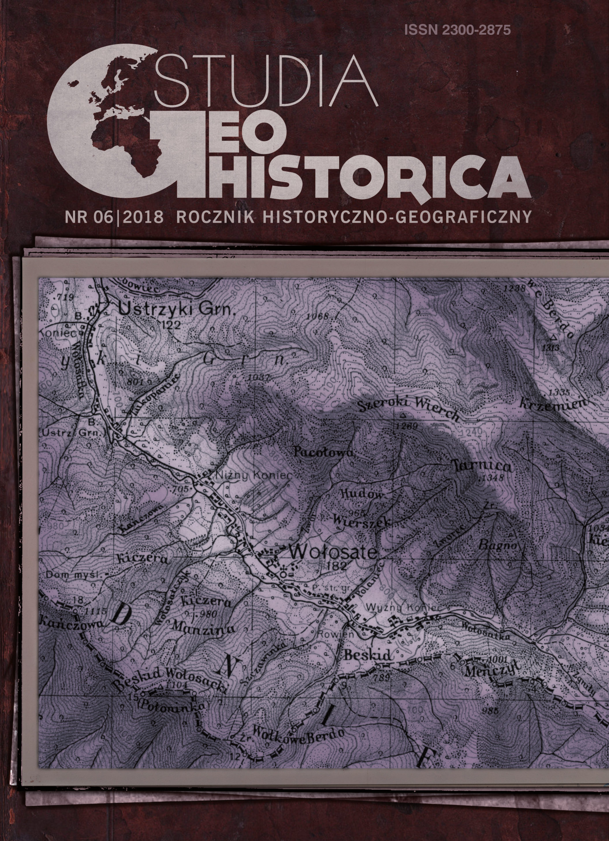
The article presents the organizational frameworks and methodological problems connected with undertaking the editorial project titled “Historical Atlas of Polish Towns”, which is a part of the international initiative “European Historical Town Atlas” under the auspices of International Commission for the History of Towns. The author underlines a diversified source foundations for the base maps’ edition, which, in case of “Historical Atlas of Polish Towns”, was a measurement map; for the towns located in the area of the former Austrian Partition the maps elaborated within the cadastre in 1819–1859 served as a basis of the edition. However, in the former Prussian Partition (Silesia and Pomerania), the cadastre maps elaborated on the grounds of the bill from 1961 proved to be more problematic – the defects of particular map sheets and their incomplete condition forced the editors to use the maps elaborated in different times and according to different measurements. In the article, a great scientific value of the maps’ reproductions is presented, an attempt to characterize the maps on the spatial development of the cities is undertaken, and urban history studies on particular topics are mentioned. In the conclusions, the determinants and scientific objectives resulting in the changes in the editorial principles and the content of the published European Atlases are addressed. The primary trends identified are the postulate to include in the atlases the cartographic sources and historical and iconographic materials from the 19th and 20th century, as well as the use of Geographic Information Systems in publishing the editorial achievement in the form of geoportals or other electronic resources.

More...
The Spatial Database Development for Research on Settlements and Afforestation in Nowy Tomyśl Plain in Early Modern Times

The Spatial Database Development for Research on Settlements and Afforestation in Nowy Tomyśl Plain in Early Modern Times

Author(s): Tomasz Panecki,Tomasz Związek,Grzegorz Myrda / Language(s): English Issue: 6/2018

In the article, a process of elaboration of a database on afforestation reconstruction in Nowy Tomyśl Plain in the modern era was presented. The aim of the publication was to share the materials acquired from old and current maps and written sources, which are used in the reconstruction of the acreage, borders, and type of the forest in the area under scrutiny. It can be treated as a collection of metadata, in which the methodology of each thematic layer acquisition and elaboration is described. The elements in the database can be divided into four main thematic groups: Basemaps, Settlements and Administrative Divisions, Natural Landscape, and Forest Reconstruction Data. The basemaps comprise the Prussian georeferenced old maps: Gilly-Crons’ map (1:50,000, the end of the 18th century) and maps in scale 1:25,000: Urmesstischblatter (first half the 19th century) and Messtischblatter (second half of the 19th century). In order to graphically connect the historical to the current data, the topographical map and a Digital Elevation Model acquired from Geoportal were used. The application also includes the settlements, administrative divisions: form the 16th century (on the basis of the last HAP volume) and the 18th century (reconstructed for the purpose of this project on the basis of the old maps and written sources). In the Natural Landscape thematic group, there is data on hydrography and afforestation dating back to the end of the 18th century (Gilly- -Cron’s map) and the first half of the 19th century (Urmesstischblatter). The crucial objects from the perspective of the conducted analysis are those on afforestation. Their choice was based on the potential to reconstruct the extent, borders, and types of forests in the said area in the 16th century. Thus, worth mentioning are: data on Dutch settlement dynamics in the 18th century, potential forest area per a village, results of Archaeological Survey of Poland, onomastic information, or even the information on the vegetation type acquired from the written sources, and old and current maps. All the above can be analysed in the application, though they can also be downloaded if the need arises in the form of a geodatabase (*.mdb) and analysed further by the more advanced users.

More...
Venecijanska kartografija XVII i XVIII vijeka iz ostavštine porodice Visković

Venecijanska kartografija XVII i XVIII vijeka iz ostavštine porodice Visković

Author(s): Marija Mihaliček / Language(s): Croatian Issue: 3-4/2016

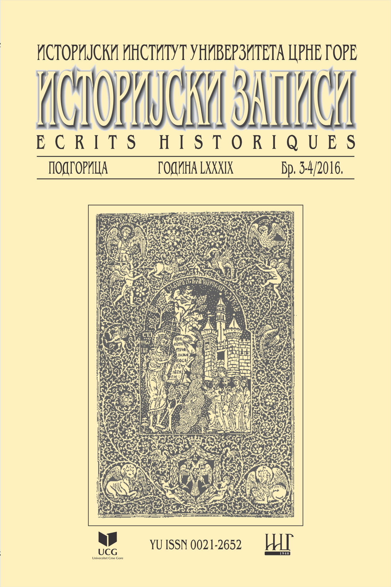
The main topic of this paper is the cartographic material from the legacy of Visković family from Perast. Three copies from the 17th and the 18th century, printed in Venice, the most important cartographic centre of the time, possess all the characteristics and values of supreme craftsmanship. Two Coronelli’s atlases and a rare map of Boka Kotorska Bayenrichmodestantique cartographic heritage preserved in Montenegro. This material concurrently contributes to the knowledge of the perception of the geographic area of the Montenegrin coast and of the historic circumstances during the 17th and the 18th century

More...
BASIC RULES IN GEOGRAPHICAL PHOTOGRAPHY

BASIC RULES IN GEOGRAPHICAL PHOTOGRAPHY

Author(s): Bogdan Olariu,IULIAN SĂNDULACHE,CĂTĂLINA SĂNDULACHE / Language(s): English Issue: 18/2018

Photography plays a key role in geographical studies but also in teachinggeography. For the geographical photography there are some important aspects regardingthe photographic technique: setting the correct size of the image, white balance, ISOsensitivity, image format, time exposure, aperture, knowing the functioning of theincorporated light bulb, focalization, the optic and digital zoom, measuring the luminosityin the scene that is about to be photographed. In this study, there will be presented the mostimportant types of photography that are used in geography, while in the last part of the study,the most important rules that must be respected when framing and shooting are described.In the end it is presented a glossary which includes 29 terms of speciality that are used in thispaper.Photography plays a key role in geographical studies but also in teaching geography. For the geographical photography there are some important aspects regarding the photographic technique: setting the correct size of the image, white balance, ISO sensitivity, image format, time exposure, aperture, knowing the functioning of the incorporated light bulb, focalization, the optic and digital zoom, measuring the luminosity in the scene that is about to be photographed. In this study, there will be presented the most important types of photography that are used in geography, while in the last part of the study, the most important rules that must be respected when framing and shooting are described. In the end it is presented a glossary which includes 29 terms of speciality that are used in this paper.

More...
Danube - Qualitative characteristics of the water in the Pontic sector

Danube - Qualitative characteristics of the water in the Pontic sector

Author(s): ELENA ŢUCHIU / Language(s): English Issue: 2/2018

The article analyses the spatial and temporal variation in the lower Danube sector of the physico-chemical quality indicators, selected to reflect the general characteristics and the effect / impact of the main pressures identified at basin level for the period 1996-2015, in 6 monitoring sections (from Baziaș to Reni). Based on the minimum, average and maximum multi-year values for all physic-chemical determinants that reflect the degree of variability of the values of the concentrations monitored for the analysed periods, they were interpreted in particular from the perspective of the interdependence between these parameters, their behaviour, the aquatic transformations /reactions, as well as from the point of view of correlation with the contribution of tributaries and sources of pollution. Longitudinal (upstream / downstream) variations have also been established over the 20-year period, concluding that most determinants / pollutants have an increasing spatial trend. From a temporal point of view, all determinants analysed from the point of view of the water quality improvement trends were determined, namely the temporal trends (especially in the Reni section) and the possible causes of variation were identified.

More...
Atlasul Etnografic Român – capăt de drum
4.90 €
Preview

Atlasul Etnografic Român – capăt de drum

Author(s): Nicolae Constantinescu / Language(s): Romanian Issue: 28/2014

The fifth volume of A. E. R. (=„Atlasul Etnografic Român”, „The Romanian Ethnographic Atlas”) puts an end to the work of three generation of ethnographers, from the late Romulus Vuia, Romulus Vulcănescu, Paul Petrescu, Ion Vlăduţiu to the youngest researchers of the Institute of Ethnography and Folklore „Constantin Brăiloiu” of the Romanian Academy (e. g. dr. Emil Ţârcomnicu, dr. Lucian Aurelian David, dr. Ionuţ Semuc, Cătălin Alexa, drd. Laura Ioana Negulescu, dr. Adelina Dogaru, Cristina Mihală Douglas) who, alongside their older colleagues (e.g. Alina Ioana Ciobănel, Cornelia Belcin Pleşca, Paul Drogeanu, Ofelia Văduva et al.), directed by dr. Ion Ghinoiu, finished one of the most important work instruments of the Romanian ethnology – the Atlas. A masterpiece of scientific work, the AER deserves all our admiration and consideration.

More...

The Balkans on the Geographical Maps of Claudius Ptolemy

Author(s): Mirko Grčić / Language(s): English Issue: 2/2018

The paper deals with the historical-geographical analysis of Ptolemy's maps known as Table V and Table IX. The maps were found in the "Urbinas Manuscript" of Ptolemy's work "Geography", which originated in the first half of the 2nd century AD, so it is accepted that the maps are from that period also. On the Fifth Map the western part of the Balkan Peninsula was presented, and on the Ninth Map the area of the eastern part of the Balkan Peninsula, in the pre-Roman and early Roman era. On maps and in the text, which serves as an explanation of the maps, there are plenty of data from topography and ethnography, and astronomical positions for more places. The data on the maps are not always consistent with the information in the text. Although there are also false geographical representations, these maps were ahead of their time in terms of cartographic methodology, geographical precision and toponomy. For over a millennium, this Ptolemy's work was lost and unknown in Europe, and when it was found in the 15th century, it significantly affected the Renaissance of geography and cartography, and the Renaissance of scientific thought in general. In this paper, the author deals with features and content analysis and identification of toponyms that have been presented on these maps, which have been aged more than two thousand years.

More...
Problemi Bliskog i Srednjeg istoka. Aspekti političke kartografije

Problemi Bliskog i Srednjeg istoka. Aspekti političke kartografije

Author(s): Radovan Pavić / Language(s): Croatian Issue: 01+02/1984

A comprehensive insight into political phenomena and processes is possible only if these are considered within an appropriate geographical context. Their emergence and development is caused, among others, by factors of space, which go beyond mere physical location. In every individual instance factors of territorialisation figure more or less prominently in the complex of factors determining international relations: historical, economic, political, cultural, religious, etc. Territorialisation touches upon the very essence of political relations, and its therefore a constituent part of the study of international relations. Within this context, political cartography occupies a prominent place. The spatial relations and contents represented by political cartography are not mere illustrations but a prerequisite of any competent analysis or conclusion. The relevance of political cartography is demonstrated on the example of some problems of the Near and Middle East.

More...
În căutarea unor așezări medievale de pe Valea Mureșului − Sâmbăteni și Păuliș
4.90 €
Preview

În căutarea unor așezări medievale de pe Valea Mureșului − Sâmbăteni și Păuliș

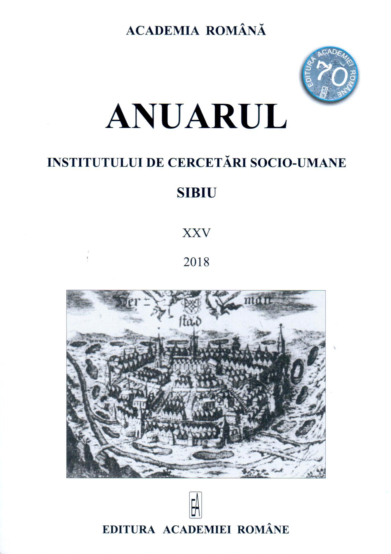
Author(s): Teodor Octavian Gheorghiu / Language(s): Romanian Issue: 25/2018

The research is aimed at discovering the old medieval sites, of the current Sâmbăteni and Păuliș villages, on the lower course of Mureș River. It is an area with numerous habitat movements, due to the insecurities of the medieval period, the Habsburg systematizations from the 18th and 19th centuries and to the natural cataclysms with devastating effects until as late as the 20th century. This study puts together the available written documentation with the cartographic one and obtains beside a delimitation of the sites, some data corrections regarding the edification of important buildings, the population movement and the demographical evolution of the settlements. As a result, the Sâmbăteni village is easy to localize and there are obtained quite exact chronological references of its movement but regarding Păuliș, the reconstruction of these aspects is quite difficult. Only the comparison of maps of the same period can lead to re-evaluations of habitats' evolution in relation to their location. Eventually, the guidelines offered by this research can become subject for future surface and archaeological research that can discover more complete components of living, verifying and correcting the results of the studies so far.

More...
Bjelovarski ring u kontekstu europske gradogradnje

Bjelovarski ring u kontekstu europske gradogradnje

Author(s): Damir Krajnik / Language(s): English,Croatian Issue: 9/2015

Though the bastions of the city of Bjelovar were of symbolic character, and thus primarily presented more an indication of an urban entity borderline and less a real defence system, the manner in which they were transformed essentially defined the urban structure morphology. Levelling and transformation of the forts was realised within a fairly brief period at the turn of the 18th to the 19th century, whereby – following the best European examples – a representative urban stretch with a round street circling the former town centre, concentrated public town spaces and buildings of public use was formed. By analysing features of town planning according to the model defined in the author’s doctoral dissertation, it was established that Bjelovar belonged to the group of towns of integral type 1-B, characterised by a prevailingly mixed structure combined with buildings of (mostly) public use in the insulae, with a round street as a part of the traffic system in the area of the former forts, thanks to which the town-planning interpretation of space in the place they presently take in the urban matrix was enabled. The comparison with examples of Croatian and European cities (Varaždin, Vienna, Riga, Wroclaw and Würzburg), which belong to the same integral type according to town-planning features of space on the locations of bastion fortresses, has clearly indicated to the significance of the location rightfully referred to as the Bjelovar ring, and to the common town-planning principles of shaping cities in Croatia and Europe in the 19th century. It may therefore serve as an element in defining planning postulates of future town-planning interventions in the subject area.

More...
Endemsko prema etnokartografskom: nova razmišljanja na marginama etnoloških karata (primjer virdžina, zavjetovanih djevojaka)

Endemsko prema etnokartografskom: nova razmišljanja na marginama etnoloških karata (primjer virdžina, zavjetovanih djevojaka)

Author(s): Jelka Vince-Pallua / Language(s): Croatian Issue: 19/2007

Starting from the phenomenon of virgins (virdžine/toelije), the girls offered by a vow, the author of this article is reflecting on ‘the margins of ethnological maps’ on the achievements of ethnological cartography in the case when we are encountering a disadvantageous situation – the endemic nature of the phenomenon, its limited geographical distribution; in ethno-cartographic sense, a narrow, small area. By contrasting the endemic nature with ethnocartography (the possibility of comparative analysis and drawing conclusions of the basis of a geographical distribution of a given phenomena), the author has, while working on this interesting, specific and unique phenomenon, come to some new conclusions and findings. This article discusses the phenomenon of virgins exclusively in the context of questions based on ethnological cartography and also analyses theoretical-methodological aspects of ethnocartographic technique, an auxiliary method used in historical ethnology. In the works of sociologist Vera Stein Erlich, the author finds elements which could be linked to ethnological cartography, but only in the section when Vera Stein claims that a space, a plane of contemporariness, a synchronic frame, can outline and be the projection of a time flow, of diachronic frame, which is exactly the basis of ethno-cartographic technique. The phenomenon of virgins is analyzed as an endemic phenomenon which is not only accepted, but also institutionalized and codified through common law, which is its basic differentia specific, as compared with other examples of cross-dressing in European region. In her quest for virgins the author is using two sources: a) the questionnaires of the Ethnological Atlas, b) accounts from literature where she found 104 examples in 54 bibliographical units written by 45 authors in 7 languages! Even though the author used this valuable and, as the article showed, necessary supplements to the questionnaires, she also pointed to a number of problems which she encountered during the research of this endemic social phenomenon as well as to internal and external reasons which made this addition not only a benefit, but also a necessity. Insufficient precision of the questions from the questionnaires of Ethnological Atlas was experimentally confirmed through verification done with these questionnaires during the field research in the Southern Istria. The set framework of this phenomenon in the limited area of the local conditions of patriarchal way of life of this part of the Dinaric region at its core – Albanian-Montenegro border – enabled us (together with the analysis of the key elements of the phenomenon of virgins which were not the immediate topic of this article), to discover multiple inter-relationships between this phenomenon and a specific type of patriarchic way of life – tribal type of patriarchy. This could be observed not only on the macro level of the entire map, but also on the micro level on the example of Montenegro where the virgins were rare in the Old Montenegro and quite common in the Mountains, the region where the tribal lore was more prominent. On the Baumann’s map of the world this phenomenon was singled out as unique, but was interpreted as the survival of the ancient cult function of virgins which, according to the author, wrongly links this phenomenon to the evolutionist assumptions on the idea of survivals, in this case of the female cult function which virgins supposedly used to have in ancient times, but which was later lost.

More...
Cattle Raising and Sheep Breeding Settings and Settlements: Expanses and Terms Used

Cattle Raising and Sheep Breeding Settings and Settlements: Expanses and Terms Used

Author(s): Branko Đaković / Language(s): English Issue: 7/8/1996

At present, very often extensive research has been put on the traditional forms of stock breeding on the South Slav expanses (cattle raising and sheep breeding, with goat breeding in earlier periods, being of the greatest importance), the emphasis has mainly been put on the various ways of ensuring grazing on the season pastures. The study has been made of the observed differentiating elements, starting with the organisation of getting onto mountain pastures, with the organisation of life and work on them, all the way to the home villages and the distribution of the income. The research performed with this aim has been dependent on natural, physical and geographic characteristics of the terrain which was making the forms of transhuman cattle raising possible as well as on the cultural and historical circumstances.

More...
О начелима транскрипције имена из језика с којима нисмо били у непосредном додиру

О начелима транскрипције имена из језика с којима нисмо били у непосредном додиру

Author(s): Mitar Pešikan / Language(s): Croatian,Serbian Issue: 3-4/1976

Основным мерилом при отборе возможных форм иностранных названий икоторые мы заимствуем и при суждении о них должно бють стремление к тому, чтобы они (насколько этого допускают существующие общие закономерности], были йозможно больше приспособлены к нашему языку и возможно гармоничнее включены в него — в смысле уважения языкового наследия и сохранения континуитета, а также в смысле согласованности, с живыми системами. Более конкретно, это означает: без излишнего преобразования и глубоких изменений того, к чему мы уже привыкли и что вошло в нашу языковую традицию; правила должны быть по возможности простыми с тем, чтобы их мог применить как можно более широкий круг филологических сотрудников, а не только узкий круг специалистов; при отборе разных актуальных возможностей необходимо проявить больше заботы о степени согласованности с нашими традиционными правилами и с нашими живыми структурными системами. Это намного важнее стремления к максимальной звуковой вернности, значение которой часто переоценивается даже среди специалиетов. В практике же нашего радио и телевидения эта „верность” превратилась в настоящую вульгаризацию (напр. КАРАМАНЛИС, РЕЗА ПАХЛАВИ, ЖУКОВ). Придерживаясь этого мерила, мы легко придём к единому и согласованному действию, которое явлаяется условием для каких бы то ни было серьёзных успехов в повышении языковой культуры. В качестве первой цели програмы можно было бы взять упорядочение правописания географичееких названий в школьной и учебной картографии, в начале надо ограничиться на отдельные географические области (пока не будет закончена подготовка для остальных регионов); однако нельзя откладывать стандартизацию написания географических названий из славянских языков, а также из арабской языковой области. Если бы был достигнут определённый прогресс п этой программе, тогда можно было бы перейти к упорядочиванию и других типов собственных имён в языке нашей печати, особенно в журналистике.

More...
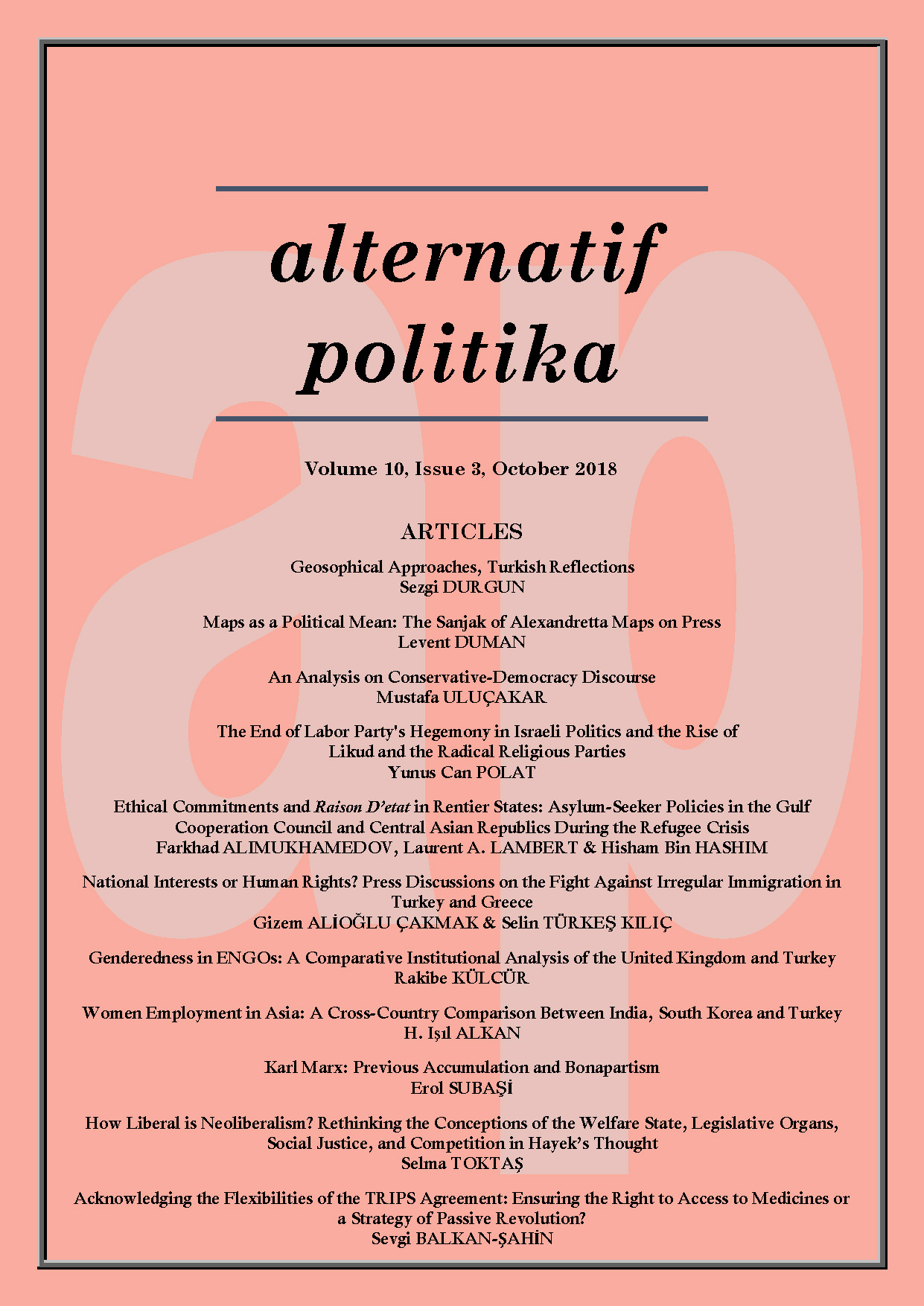
SİYASİ BİR ARAÇ OLARAK HARİTALAR: BASINDA İSKENDERUN SANCAĞI HARİTALARI

SİYASİ BİR ARAÇ OLARAK HARİTALAR: BASINDA İSKENDERUN SANCAĞI HARİTALARI

Author(s): Levent Duman / Language(s): Turkish Issue: 3/2018

As in many areas of daily life, maps are also frequently utilized means in politics. As maps can be used for various ways in politics, like bringing up to agenda particular topics, supporting revealed claims, they can also be effective in the process of achieving foreign policy goals. Annexation of the Sanjak of Alexandretta to Turkey has been subject of many studies from different perspectives. The main purpose of this study, by examining maps published at national newspapers in Turkey at beginning of the course, is to analyze utilization of maps as a political mean. For that end, studies related to maps in politics have been investigated and based on those studies, maps and accompanying texts to them which were published at newspapers in the post September 1936 period when the Sanjak of Alexandretta issue came to the forefront in Turkey’s foreign policy have been analyzed.

More...
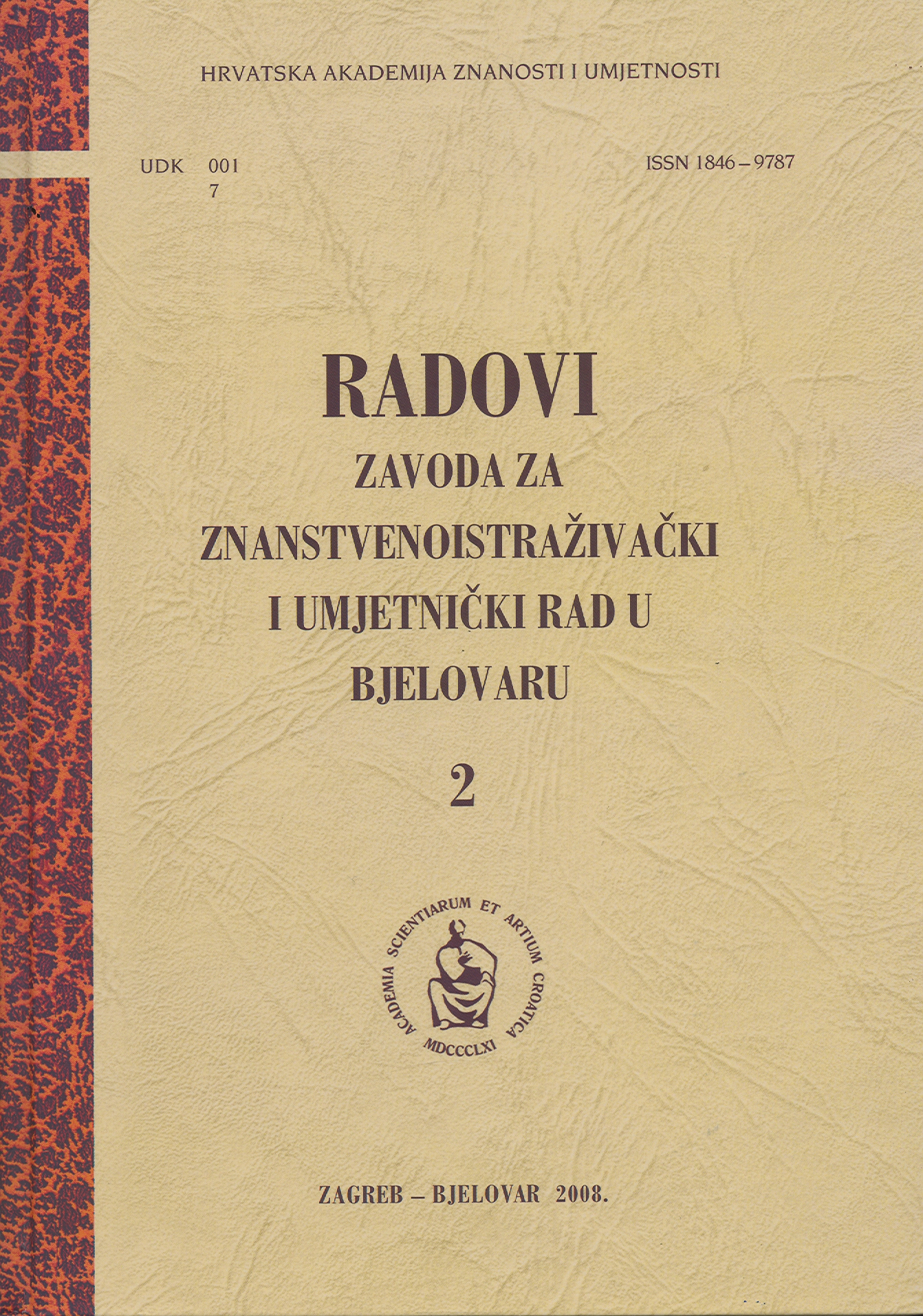
Bjelovar u srednjovjekovnim vrelima

Bjelovar u srednjovjekovnim vrelima

Author(s): Goran Jakovljević / Language(s): Croatian Issue: 2/2008

The analysis of the occurrence of the name Bjelovar in the available mediaeval written or cartographic sources has essentially changed the so-far accepted contemporary historians’ theses and dismissed the conventional opinions, according to which, in the first half of the 15th century, Bjelovar was but a “small fair settlement in the Rovišće county”. The first mentions of Bjelovar are to be found in source materials as early as in 1320; however, until 1482, when confirmed by the topographic names of the surrounding mediaeval estates, documents had referred either to Bjelovar in the Zelina county or to “King Bela’s town”. This is moreover supported by the genealogic data of persons mentioned in the source materials, since they belonged to the local gentry, whose estates had been located to the west from Križevci and Mali Kalnik. In cartographic sources, Bjelovar was first mentioned in Johann Winkler’s map in 1639, when the Krajina border was defined; cartographic symbols further help us analyse its transformation from a mere estate through a fortification to a bigger countryside settlement. According to the available information, Bjelovar was not granted any status symbols (such as guild- and fair-related privileges) before the town had actually been founded, i.e. in 1770 (1772).

More...

Recenzija: Slovenija na vojaškem zemljevidu 1763-1787 (1804). Opisi. Karte

Author(s): Boris Mlakar / Language(s): Slovenian Issue: 1-2/1998

The review of: Slovenija na vojaškem zemljevidu 1763-1787 (1804). Opisi. Karte, 3. zvezek. Ljubljana, ZRC SAZU in Arhiv Republike Slovenije, 1997.

More...
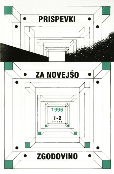
Recenzija: Slovenija na vojaškem zemljevidu 1763-1787. Opisi. Karte

Recenzija: Slovenija na vojaškem zemljevidu 1763-1787. Opisi. Karte

Author(s): Damijan Guštin / Language(s): Slovenian Issue: 1-2/1996

The review of: Slovenija na vojaškem zemljevidu 1763-1787. Opisi. Karte / Josephinische Landesaufnahme 1763 -1787 fur das Gebiet der Republik Slowenien. Landesbeschreibung. Karten. Sekcije 221-225, 230-239,246-247, 250, 60. Ljubljana, ZRC SAZU in Arhiv Republike Slovenije, 1995. Vodja projekta Vincenc Rajšp.

More...
ГЛОБАЛИЗАЦИЈА VS. ФРАГМЕНТАЦИЈА ПРОСТОРА

ГЛОБАЛИЗАЦИЈА VS. ФРАГМЕНТАЦИЈА ПРОСТОРА

Author(s): Slobodan Prošić / Language(s): Serbian Issue: 3/2015

The author does not argue in the present paper with rival theories; instead he links them in a rhizomatic fashion provoking thereby a cartography of the landscape we are facing while the Cartesian tradition of reduction of complexities to simples is shifting towards the irreducible fold (Deleuze). The virtual and the real is not discernible. Entities isolated in the past are now part and parcel of the hybrid and rhizomatic network expanding and flowing throughout the intensive space. They form the hybrid spatium which includes everything: social networks, media, fora, wars, the national and the supranational, global and local, marginal and trivial. Disseminating itself, it invades social spaces, and finally encompasses the whole horizon. Fluidity (Bauman) is another expression for emptied social spaces and the shift to the societies of control anticipated by Michel Foucault. Through constant reiteration of the difference, the fold shifts to its alternative - envolution.

More...
Próba określenia przyszłych zmian powierzchni i jakości ubytków rolnych

Próba określenia przyszłych zmian powierzchni i jakości ubytków rolnych

Author(s): Małgorzata Akińcza,Teresa Dzikowska / Language(s): Polish Issue: 1-2/2006

The agricultural land and forest land dominate in land use structure. A qualitative and quantitative reserve of agricultural land is important for food economy. Changes in area, which result from social, economic and ecological development, have an effect on dynamics of land use structure. The analysis includes the agricultural land in Opole province, but the present work is synthetic formulation of results. The paper describes state at the present time and prospects of quantitative changes in area of agricultural land, identifies and characterizes processes which effect change of area or qualities of agricultural land. Formulating 3 variants of quantitative prognosis of agricultural land basing on following hypothesis; trend of changes consistent with hitherto existing dynamics, intensify of rate afforestation of agricultural land by farm workers, intensify of rate of building of agricultural land.

More...
KARTOGRAFINIŲ ŽENKLŲ STANDARTIZACIJOS PROBLEMOS LIETUVOS MOKYKLINĖJE KARTOGRAFINĖJE PRODUKCIJOJE

KARTOGRAFINIŲ ŽENKLŲ STANDARTIZACIJOS PROBLEMOS LIETUVOS MOKYKLINĖJE KARTOGRAFINĖJE PRODUKCIJOJE

Author(s): Inga Žalalienė / Language(s): Lithuanian Issue: -/2013

The article consists of introduction, four parts and conclusions. In the article are analyzed the standardization problems of cartographic signs’ which are used in Lithuanian school geography and history atlases. In the first and second parts Standardization and standard conception and Standardization and standard conception in cartography are given short presentations of these concepts in general and then particular in cartography. In the third part are identified and described The standardization levels of cartographic signs. In the fourth part Standardization problems in the educational cartographic publications is stressed the standardization demand, necessity and possibilities of cartographic signs that are used in geography and history atlases.

More...
Result 321-340 of 1162
  • Prev
  • 1
  • 2
  • 3
  • ...
  • 16
  • 17
  • 18
  • ...
  • 57
  • 58
  • 59
  • Next

About

CEEOL is a leading provider of academic eJournals, eBooks and Grey Literature documents in Humanities and Social Sciences from and about Central, East and Southeast Europe. In the rapidly changing digital sphere CEEOL is a reliable source of adjusting expertise trusted by scholars, researchers, publishers, and librarians. CEEOL offers various services to subscribing institutions and their patrons to make access to its content as easy as possible. CEEOL supports publishers to reach new audiences and disseminate the scientific achievements to a broad readership worldwide. Un-affiliated scholars have the possibility to access the repository by creating their personal user account.

Contact Us

Central and Eastern European Online Library GmbH
Basaltstrasse 9
60487 Frankfurt am Main
Germany
Amtsgericht Frankfurt am Main HRB 102056
VAT number: DE300273105
Phone: +49 (0)69-20026820
Email: info@ceeol.com

Connect with CEEOL

  • Join our Facebook page
  • Follow us on Twitter
CEEOL Logo Footer
2025 © CEEOL. ALL Rights Reserved. Privacy Policy | Terms & Conditions of use | Accessibility
ver2.0.428
Toggle Accessibility Mode

Login CEEOL

{{forgottenPasswordMessage.Message}}

Enter your Username (Email) below.

Institutional Login