Cookies help us deliver our services. By using our services, you agree to our use of cookies. Learn more.
  • Log In
  • Register
CEEOL Logo
Advanced Search
  • Home
  • SUBJECT AREAS
  • PUBLISHERS
  • JOURNALS
  • eBooks
  • GREY LITERATURE
  • CEEOL-DIGITS
  • INDIVIDUAL ACCOUNT
  • Help
  • Contact
  • for LIBRARIANS
  • for PUBLISHERS

Content Type

Subjects

Languages

Legend

  • Journal
  • Article
  • Book
  • Chapter
  • Open Access
  • Geography, Regional studies
  • Maps / Cartography

We kindly inform you that, as long as the subject affiliation of our 300.000+ articles is in progress, you might get unsufficient or no results on your third level or second level search. In this case, please broaden your search criteria.

Result 341-360 of 1162
  • Prev
  • 1
  • 2
  • 3
  • ...
  • 17
  • 18
  • 19
  • ...
  • 57
  • 58
  • 59
  • Next
Documente cartografice din sec. al XVIII-lea şi relevanţa acestora pentru Transilvania mileniului III
4.90 €
Preview

Documente cartografice din sec. al XVIII-lea şi relevanţa acestora pentru Transilvania mileniului III

Author(s): Mariana Vlad / Language(s): Romanian Issue: 24/2010

For centuries the maps have been valuable learning tools.The map is a message. Maps have been important elements of a larger broader of the habsburg politics from 18th Century. But it served in various roles: as archive for referenced data, as tool for investigating the spatial relations, and as an object of aesthetic and historical interest.

More...
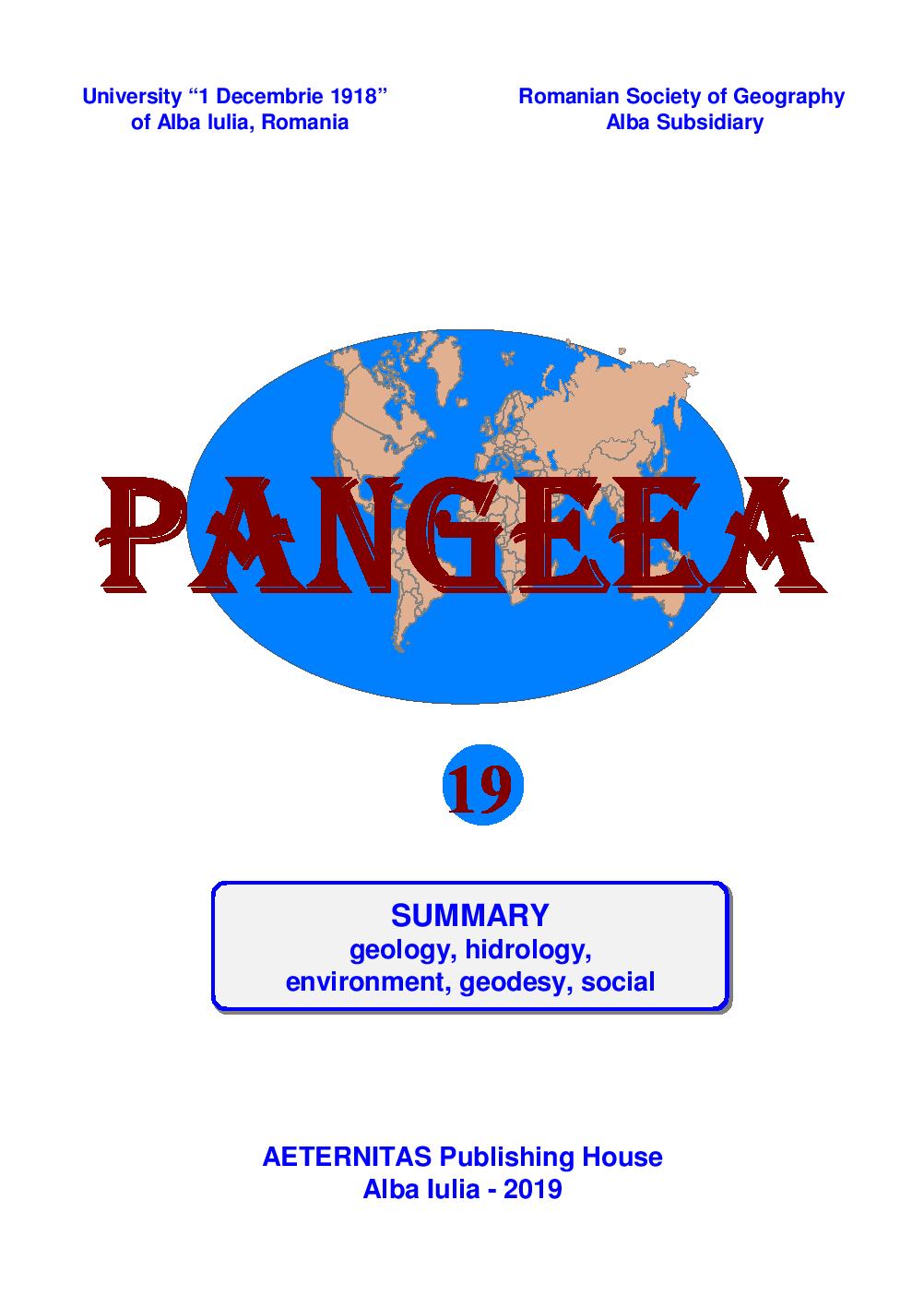
FORMATION AND EVOLUTION OF THE DANUBE DELTA

FORMATION AND EVOLUTION OF THE DANUBE DELTA

Author(s): Iulia Birișiu / Language(s): English Issue: 19/2019

The Danube Delta is the newest territory of Romania. Its formation tookplace in several stages, from Paleozoic to Pliocene. During this time, six geological cycleswere highlighted. The most important stage in the formation of the Danube Delta is theDeltaic stage because no orogenic movements have taken place, erosion due to the winds andprecipitation has taken place and the main cracks have formed. Around these beams thefloods brought by the Danube river accumulated, which led to the formation of the currentdelta

More...
ESTABLISHING THE MAXIMUM FLOWS RATES AND VOLUMES FOR
FLOODS WITH DIFFERENT PROBABILITIES REQUIRED FOR
DIMENSIONING AND EXPLOITATION OF HYDROTEHNICAL
CONSTRUCTIONS

ESTABLISHING THE MAXIMUM FLOWS RATES AND VOLUMES FOR FLOODS WITH DIFFERENT PROBABILITIES REQUIRED FOR DIMENSIONING AND EXPLOITATION OF HYDROTEHNICAL CONSTRUCTIONS

Author(s): Catrinel Raluca Giurma-Handley,Ion Giurma / Language(s): English Issue: 19/2019

Knowing the maximum flow rates, as well as the maximum volumes of thefloods with different probabilities is necessary in dimensioning and exploitation ofhydrotehnical constructions, the safety and efficiency of the works depending greatly on thedata accuracy. In the case where measurement data existsin cross-sectionslocation of works,we rely on bidimensional probabilities or correlations between hydrological units. With thatin mind, the methodology and a computation example highlighting the two hydrologicalelements (maximum flow rate and maximum volume) of floods for the desired probabilitiesare presented in the paper.

More...
SURFACE RUN-OFF TYPE METHODS FOR MODELING FLOODS

SURFACE RUN-OFF TYPE METHODS FOR MODELING FLOODS

Author(s): Catrinel Raluca Giurma-Handley,Ion Giurma / Language(s): English Issue: 19/2019

In practice, for small river basins, surface run-off methods are used tosimulate extreme hydrological events such as floods. This paper presents the followingmethods: the unitary hydrograph method and the Mike11-HUM model, which have beencalibrated using some computation examples. Once calibrated, they can be used for theanalyzed river basins, but also for other river basins with similar physical and geographicconditions.

More...
MOKSLEIVIŲ ERDVINIO MĄSTYMO IR KARTOGRAFINIŲ ŽENKLŲ SUVOKIMO YPATUMAI

MOKSLEIVIŲ ERDVINIO MĄSTYMO IR KARTOGRAFINIŲ ŽENKLŲ SUVOKIMO YPATUMAI

Author(s): Linas Bevainis / Language(s): Lithuanian Issue: -/2013

In Education, as in other areas, widely spread visualization. A new approach to the traditional educational process and tools is developing. Some studies have shown that the perception of cartographic information is very closely linked to the students‘ spatial thinking in development and intelligence level. The author, with the help of different classes of students, conducted a study, which allowed an assessment of their ability to read maps and navigate the area. An investigation has helped identify what kind of cartographic map elements are necessary to the different age groups of children, when they are trying to determine the location of the visual scene on the map.

More...
Forest Cadastre - Instrument for Analysis and Inventory of Forestry Fund

Forest Cadastre - Instrument for Analysis and Inventory of Forestry Fund

Author(s): Ioan Ienciu / Language(s): English Issue: 26/2019

The delay in the implementation of the property laws in Romania along with the permissiveness of sanctions related to forest crimes, the repeated changes to the legal framework and the insufficiency of the funds allocated to afforestation are favorable conditions of the continuous diminishing of the Romanian forest fund, the negative effects being visible in the daily life.Due to the continuous growth of deforested areas as well as the production of extreme meteorological phenomena as a result of unfolding activities of unreasonable exploitation of wood in conditions that go beyond the legal framework, it is necessary to carry out the inventory works for the forest areas and to identify the right owners of these surfaces. At the same time, it is also necessary to make and update forest plans and maps in order to achieve a more accurate account of the areas affected by natural or human abnormalities.

More...
Digital Modelling of the Land as a Result of the Phenomenon of Mining Subsidence

Digital Modelling of the Land as a Result of the Phenomenon of Mining Subsidence

Author(s): Ioan Voina,Lucian Octavian Dragomir / Language(s): English Issue: 26/2019

The digital representation of the terrestrial surface as a result of the phenomenon of subsistence as a result of stratiform exploitation is a cartographic challenge for specialists in the field of engineering sciences. Such information allows a detailed visual analysis of the terrestrial surface deformation and movement, as a result of the appearance of the subsidence phenomenon. The present paper aims to present the digital modelling of the land and to obtain representative diagrams of the characteristic parameters that lead to the appearance of the subsidence phenomenon as a result of stratiform mine exploitation for the South Petrila mine exploitation field from the Hunedoara County.

More...
Monitoring the Minier Subsidence Phenomenon in Valea Arsului Area- Vulcan Mining Exploitation

Monitoring the Minier Subsidence Phenomenon in Valea Arsului Area- Vulcan Mining Exploitation

Author(s): Ioan Voina,Lucian Octavian Dragomir,Adrian Lăsconi / Language(s): English Issue: 26/2019

The mining subsurface phenomenon is known as a particularly complex process, in time and space, referring to the displacement and deformation of the terrestrial surface as a result of the underground exploitation of various deposits, leading to a negative impact on the environment in time and more. The topo-geodetic monitoring of the subsidence phenomenon resulting from the exploitation of mining deposits has been, is and will always be a concern of the specialists in the field of engineering sciences, offering reliable results of studies on the establishment of measures for the protection of the civil and industrial objectives, and of human life. This paper presents the results obtained from the study of the topo-geodesic monitoring of the mining subsidence phenomenon for the Vulcan mining perimeter, Hunedoara County, Romania.

More...
The Realizat ion of Database for the Implementation of the Systemic Cadastre in the Territorial Administrative Unit „Cetatea de Baltă”, Alba County

The Realizat ion of Database for the Implementation of the Systemic Cadastre in the Territorial Administrative Unit „Cetatea de Baltă”, Alba County

Author(s): Andreea Ramona Begov-Ungur,Cătălin Cosma / Language(s): English Issue: 26/2019

The implementation of the systematic cadastre is the entire responsibility of the Romanian State, through the National Agency for Cadastre and Real Estate Advertising.The systematic registration works are carried out at the level of a cadastral sector or several cadastral sectors. The cadastral sectors are established by the OCPI together with the City Hall before to the start of the procurement procedure by the Acquirer.The role of this paper is to present as easily as possible the methodology and the steps taken for the realization of the database for the implementation of the systemic cadastre in the territorial administrative unit „Cetatea de Baltă”, Alba county.

More...
Realization of Integrated Geospatial Structures for Data Analysis in the Social Protection Sector of the Pension System

Realization of Integrated Geospatial Structures for Data Analysis in the Social Protection Sector of the Pension System

Author(s): Tudor Borşan,Luciana Oprea,Mirela Goronea / Language(s): English Issue: 26/2019

Geographic information systems have emerged from the need of people from different functional structures to provide answers to questions arising from daily tasks. A GIS information system provides facilities for meeting workloads in a much shorter time, and the results are much more consistent and reliable. The design of the implementation of a GIS system starts with people and their needs and finishes with computer applications that are used to achieve stated goals, the whole system being designed to fulfill the proposed tasks.Thus, this paper seeks to carry out a statistical analysis of the Alba County population in the pension system using the facilities offered by the GIS applications. The main function of the identified social indicators is to respond to the requirements of monitoring the situation in the social protection sector, indicators that at national level can be integrated into the National Strategies in various fields.

More...
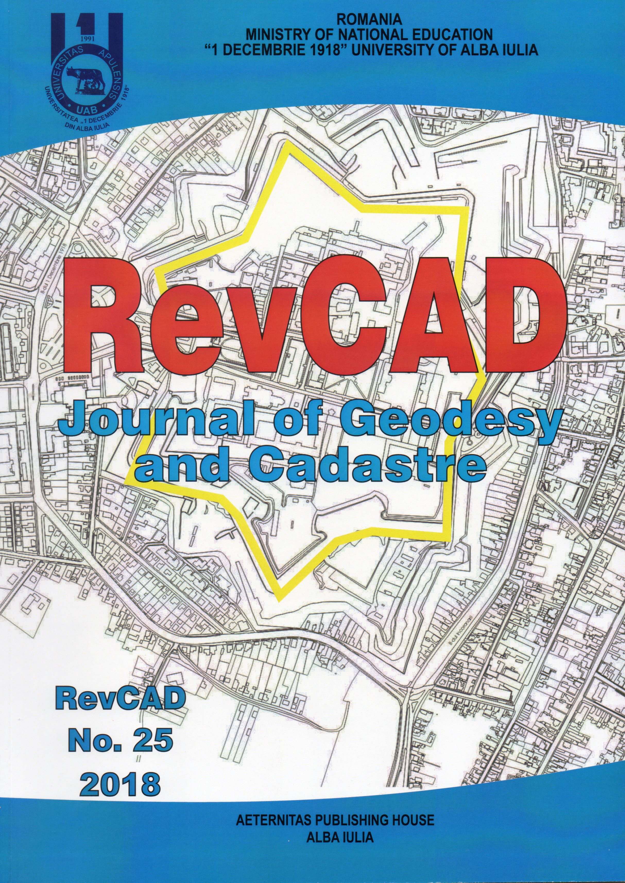
Contributions to Improvement of Immovable Management in Rural Localities using the ARCGIS Platform

Contributions to Improvement of Immovable Management in Rural Localities using the ARCGIS Platform

Author(s): Ioana Agapie (Mereuță),Mihail Luca,Loredana Crengăniș,Gabriela Nantu / Language(s): English Issue: 25/2018

In the inventory process of real estate we use programs such as: Autodesk Autocad, ArcMap 10.2, Microsoft Office Excel, online platform ArcGIS, DDAPT aplication etc. This paper presents a way to develop a database needed for land inventory in the county Vaslui, town Murgeni, village Floreni. For the area of study, so far, has been made a series of queries through which we highlighted lands that has not received title deeds from the total of the existing ones. The operation is efficient and with high efficiency. The desired results were also achieved by developing thematic maps representing the cadastral plan of the studied area on cadastral sectors, categories of land use, construction destinations and tax on land value ranges. The work consisted of drawing the digital cadastral plan in Autocad, and afterwards the plan was imported into ArcMap, where the graphical database was correlated with the alpha-numeric one. Subsequent, was created an account on the ArcGIS-online platform to import, display, and use the database. This method can be further develop by including other items of interest, such as public utility networks (water - sewerage, heating, electrical, telephone, gas, roads).

More...
An Overview on Space Time Cube Visualization in GIS

An Overview on Space Time Cube Visualization in GIS

Author(s): Ana Cornelia Badea,Gheorghe Badea / Language(s): English Issue: 25/2018

Over the last years, the STC (Space Time Cube) visualization method has been analyzed in many scientific papers in the literature. The term STC cames from cartography, meaning a geographical representation where time is treated as the third dimension.This model was introduced by the Swedish geographer Hägerstrand at the end of the sixties. When datasets involve more than one dimension in addition to time are difficult to visualize. In a geovisualization environment, maps as digital representations are used to emphasize visual thinking about geospatial patterns, relationships, trends. Currently, GIS technology offers dedicated tools that lead to interesting viewing results using this method, the cube and its contents being automatically created from a database. We reviewed some functions on temporal data, used to view geospatial data sets in different ways. Also in the case study, an earthquake dataset was used, which was represented using the STC method, but also in the form of a temporal slider application.

More...
The Use of PAMS (Personal AerialMappingSystem) System to Collect Aerial Geospatial Imagery for the 
Development of Cadastral Plans

The Use of PAMS (Personal AerialMappingSystem) System to Collect Aerial Geospatial Imagery for the Development of Cadastral Plans

Author(s): Octavian Potinga,Valeriu Seinic / Language(s): English Issue: 25/2018

This article reflects the advantages of using unmanned aerial vehicles (UAV) in cadastral surveying as compared to classical data collection methods. The advantage of UAV systems lies in their high flexibility and efficiency in capturing the surface of an area from a lowflight altitude. In addition, further information such as orthoimages, elevation models and 3D objects can easily be gained from UAV images. The benefits of using UAVs in cadastral elevations and the new opportunities they offer for cadastral activity are impressive.

More...
Runoff Simulation in Large Rural and Urban Areas Using Mike 21 Flexible Mesh Modeling

Runoff Simulation in Large Rural and Urban Areas Using Mike 21 Flexible Mesh Modeling

Author(s): Claudiu Pricop,Isabela Balan,Loredana Crengăniș,Flaviana Corduneanu,Andrei Urzică / Language(s): English Issue: 25/2018

The paper presents the way of construction and modeling of the runoff on rural and urban areas. Mike 21 Flexible Mesh software generates results in bidimensional hydrodinamic files that highlight the flow, speed, water level and space expansions of the flooded areas. The bidimensional model is calibrated with reference terms of the measured water level in the modeled area, the maximum limit of the hystorical flood recorded by physical landmarks. It also uses roughness parameters for land use on the analyzed extents.

More...
The Role of the Regulatory System of Agricultural Land Relations in the Republic of Moldova

The Role of the Regulatory System of Agricultural Land Relations in the Republic of Moldova

Author(s): Efim Zubco,Ion Botnarenco / Language(s): English Issue: 25/2018

The Republic of Moldova has undergone a cardinal reform of land relations in a relatively short period of time. The reason for this reform is the transition from state land ownership to private land ownership. This reform was inevitable and had social and economic reasons. At the same time, its realization has triggered a complex of problems related to the efficient use of agricultural lands, demographic problems, organizational forms, etc.The lack of a Land Relations Regulatory System is the reason for the shortcomings in the country's social and economic development. It is necessary to create a Land Relations Regulatory System that will regulate land relations at all levels.An important role in regulating land relations could belong to the reform of the management functions distribution between the central and local government by granting additional powers to the local government.

More...
Studies Regarding the Safety in Operation of Mileanca Reservoir

Studies Regarding the Safety in Operation of Mileanca Reservoir

Author(s): Isabela Balan,Loredana Crengăniș,Dragos Cazan,Maximilian Diac,Constantin Bofu / Language(s): English Issue: 24/2018

The dam of Mileanca reservoir, located on Podriga river, is an earth dam with a maximum height of 10,08 m, that provides a global retention to the canopy of 11,116 hm3. Mileanca reservoir is one of the hydrotechnical constructions that were build to protect against the floods downstream villages: Mileanca, Drăguşeni, Havârna, Scutari, Ştiubieni, Săveni. Between the years 2008 and 2012 investment works were implemented, under the project „Safety re-inforcement of Mileanca reservoir, located on Podriga River, in Botoșani county”. The project was set out to build the following works: rehabilitation of dam body (repairs to the concrete tiles on the downstream slope, sealing screen), rehabilitation of the hydromechanical equipments, rehabilitation of the bottom outlet, rehabilitation of the evaccuation channel of the surface outlet, installation of a water management information and warning-alarm system, rehabilitation of the behaviour monitoring system. This paper presents a brief history of the dam in its construction and exploitation phases, focussing on aspects regarding the behaviour monitoring of Podu Iloaiei reservoir during the years 1997-2017.

More...
Blockchain Entrepreneurship: Building Sustainable Cadastral Practices

Blockchain Entrepreneurship: Building Sustainable Cadastral Practices

Author(s): Vasiliki Basdekidou / Language(s): English Issue: 24/2018

Today the state-of-the-art research in entrepreneurship involves the application of both the innovative Distributed Ledger Technology (DLT) and the Blockchain data structure to classical economy and (cadastral) management disciplines (i.e. corporate finance, peer-to-peer management, digital marketing, digital cadastral management, etc.). Despite the well known recognition of the importance and the role of the peer-to-peer (P2P) computing in the development of entrepreneurial financial and cadastral management strategies, as well as distributed firms and decentralized companies, there have been just few attempts to apply DLT/Blockchain methodology to financial practices in general; and absolutely no attempts at all to apply this methodology to cadastral related applications in particular. So, a number of hot-red issues have arisen in this field. The purpose of this article is to indicate opportunities for useful applications in the developing field of DLT entrepreneurship research. Hence, this article introduces, describes, evaluates, and documents new sustainable Blockchain functionalities and corporate finance practices for (green) entrepreneurship and sustainable cadastral practices.

More...
Audit Analytics, Administrative Accounting, Internal Auditing: Cadastre Corporate Governance

Audit Analytics, Administrative Accounting, Internal Auditing: Cadastre Corporate Governance

Author(s): Vasiliki Basdekidou,Athanasios Styliadis / Language(s): English Issue: 24/2018

In the Greek cadastre the usage of audit analytics is below any expectations according the European and International standards, although internationally internal auditing is increasingly accepted. In order to address this problem, the innovative concept “Cadastre Audit Analytics, CAA” is introduced in this article. Then, the concept is projected in three contexts and became a framework rich in collaborative financial engineering functionalities. Finally, the article discusses the application conceptual model (audit analytics, administrative accounting, and internal auditing) as an intermediate step towards a well-defined and documented accounting, auditing, and corporate governance system, in accordance with the international accounting standards.

More...
The Introduction of Systematic Cadastre in Romania. Case Study: The Territorial Administrative Unit Cricău, Alba County

The Introduction of Systematic Cadastre in Romania. Case Study: The Territorial Administrative Unit Cricău, Alba County

Author(s): Cosmina Mariana Cîmpean,Andreea Ramona Begov-Ungur / Language(s): English Issue: 24/2018

The implementation of the systematic cadastre is the entire responsibility of the Romanian State, through the National Agency for Cadastre and Real Estate Advertising.The systematic registration works are carried out at the level of a cadastral sector or several cadastral sectors. The cadastral sectors are established by the OCPI together with the City Hall before to the start of the procurement procedure by the Acquirer. The the purpose of the cadastral works is to provide realistic and complete information about the real estate to the interested persons at all times and is finalizing with the registration in the Land book.In order to enroll the real estate in to the Land book, the systematic cadastre refers to: - identification, measurement, description and registration of the real estate in the technical documents of the cadastre, their representation on cadastral plans and the storage of data in digital format;- identification of owners and other holders of real estate for registration in the Land book;- public display of the results obtained after the execution of the systematic cadastre works, the correction of the errors reported by the owners and the opening of a new Land book.At the end of the systematic cadastre works it will be prepared the technical documents of the cadastre: the cadastral register of the real estates, the alphabetical index of the owners of the real right, the cadastral plans and the CGXML files. Through a case study, this paper aims to present the legal framework, the steps and the final documents of systematic cadastre.

More...
Testing LSA Data for Hydrological Risk Maps using GNSS Measurement

Testing LSA Data for Hydrological Risk Maps using GNSS Measurement

Author(s): Maximilian Diac,Loredana Crengăniș,Constantin Bofu / Language(s): English Issue: 24/2018

The study herein is trying to check at what extent the existent spatial low-resolution points ALS data type (1 point / 4 square meters) used to model the hydrologic risk may also be applied in other smaller hydrographic basines or in other zones prone to hydrologic risk compared to those already modelled according to CE 60/2007 directive. This study analyses the differences between the DEM obtained from ALS data and that obtained by GNSS land measurements (survey). For this purpose, data from different parts of the basin: river bed, river meadow and coastal area and also from other positions from the scanning strip was considfered. The data were compared by using the functions provided by ArcGis. The area submitted to this study is Nicolina river hydrologic basin and the ALS data are those used to model the hydrologic risk maps of the Prut-Barlad river basin.

More...
Result 341-360 of 1162
  • Prev
  • 1
  • 2
  • 3
  • ...
  • 17
  • 18
  • 19
  • ...
  • 57
  • 58
  • 59
  • Next

About

CEEOL is a leading provider of academic eJournals, eBooks and Grey Literature documents in Humanities and Social Sciences from and about Central, East and Southeast Europe. In the rapidly changing digital sphere CEEOL is a reliable source of adjusting expertise trusted by scholars, researchers, publishers, and librarians. CEEOL offers various services to subscribing institutions and their patrons to make access to its content as easy as possible. CEEOL supports publishers to reach new audiences and disseminate the scientific achievements to a broad readership worldwide. Un-affiliated scholars have the possibility to access the repository by creating their personal user account.

Contact Us

Central and Eastern European Online Library GmbH
Basaltstrasse 9
60487 Frankfurt am Main
Germany
Amtsgericht Frankfurt am Main HRB 102056
VAT number: DE300273105
Phone: +49 (0)69-20026820
Email: info@ceeol.com

Connect with CEEOL

  • Join our Facebook page
  • Follow us on Twitter
CEEOL Logo Footer
2025 © CEEOL. ALL Rights Reserved. Privacy Policy | Terms & Conditions of use | Accessibility
ver2.0.428
Toggle Accessibility Mode

Login CEEOL

{{forgottenPasswordMessage.Message}}

Enter your Username (Email) below.

Institutional Login