Cookies help us deliver our services. By using our services, you agree to our use of cookies. Learn more.
  • Log In
  • Register
CEEOL Logo
Advanced Search
  • Home
  • SUBJECT AREAS
  • PUBLISHERS
  • JOURNALS
  • eBooks
  • GREY LITERATURE
  • CEEOL-DIGITS
  • INDIVIDUAL ACCOUNT
  • Help
  • Contact
  • for LIBRARIANS
  • for PUBLISHERS

Content Type

Subjects

Languages

Legend

  • Journal
  • Article
  • Book
  • Chapter
  • Open Access
  • Geography, Regional studies
  • Maps / Cartography

We kindly inform you that, as long as the subject affiliation of our 300.000+ articles is in progress, you might get unsufficient or no results on your third level or second level search. In this case, please broaden your search criteria.

Result 421-440 of 1162
  • Prev
  • 1
  • 2
  • 3
  • ...
  • 21
  • 22
  • 23
  • ...
  • 57
  • 58
  • 59
  • Next
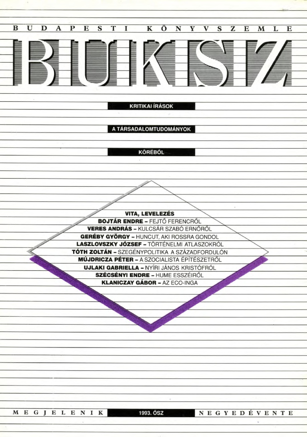
Per angusta ad augusta. A történelmi atlaszokról. Donald Matthew: A középkori Európa atlasza. The Times Atlasz. Világtörténelem. Történelmi Világatlasz
4.50 €
Preview

Per angusta ad augusta. A történelmi atlaszokról. Donald Matthew: A középkori Európa atlasza. The Times Atlasz. Világtörténelem. Történelmi Világatlasz

Author(s): József Laszlovszky / Language(s): Hungarian Issue: 03/1993

A történelmi atlaszok készítése hosszadalmas, aprólékos kutatómunkát igénylő feladat. Egyszerre sokféle követelménynek kell megfelelni, hiszen együtt kell szem előtt tartani a történelmi szakmai szempontokat, a térképkészítés törvényeit és a képi megjelenítés vizuális lehetőségeit. Jó történelmi térkép készítése nem egyszerűen azt jelenti, hogy ismert történelmi eseményeket vagy folyamatokat atlasz formájában is bemutatunk. Önálló kutatásokat kell végezni ahhoz, hogy el lehessen dönteni, vajon milyen időszeletekben megrajzolt állóképek, máskor dinamikus fejlődési képek reprezentálják legjobban a történelem egyes korszakait.

More...
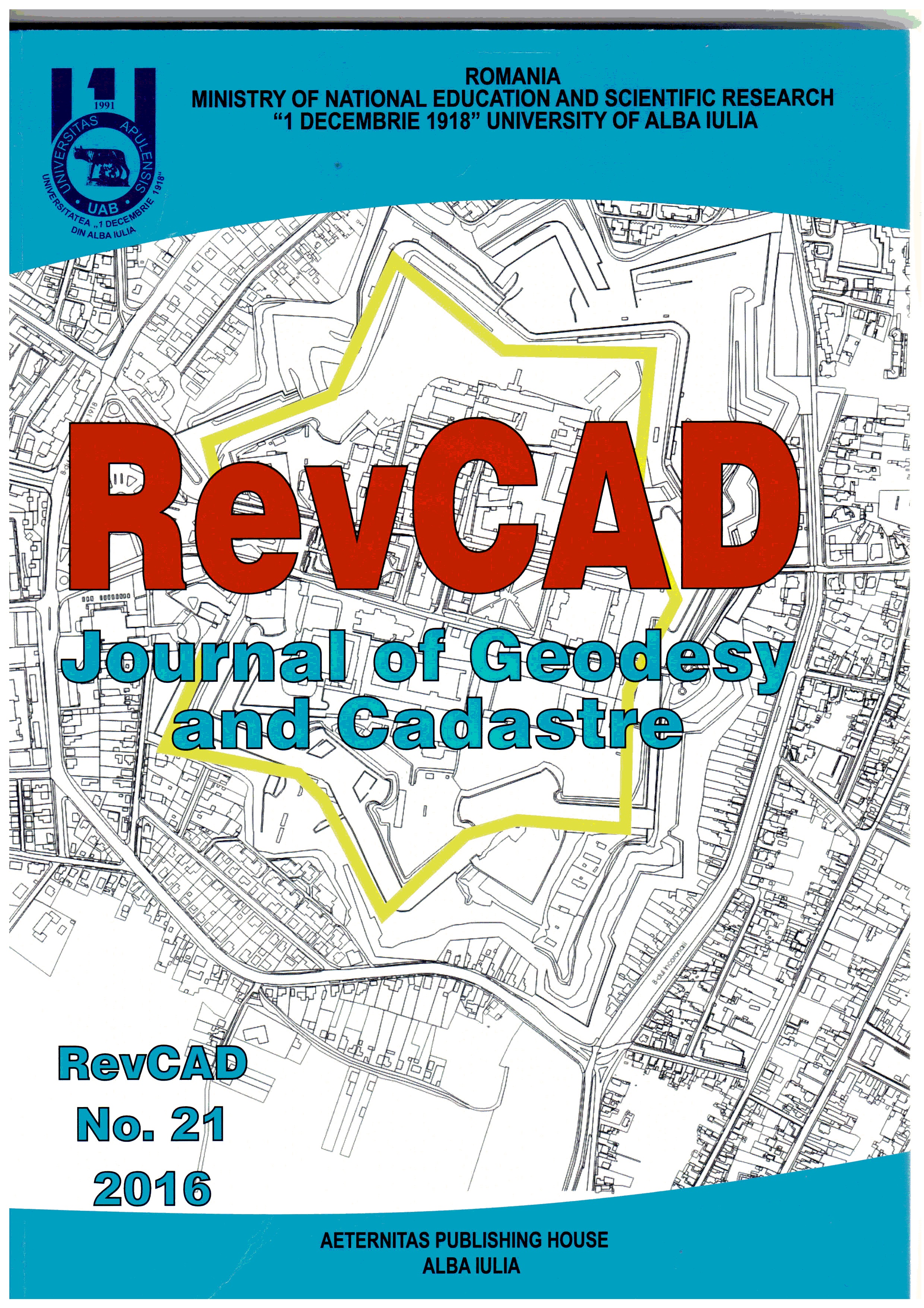
Considerations on the Elaboration of Real Estate Records in Romania

Considerations on the Elaboration of Real Estate Records in Romania

Author(s): Nicolae Boș,Maricel Palamariu / Language(s): English Issue: 21/2016

Since in Romania the issues related to properties inventory are still far from being resolved, the present work, which is based on the authors' experience, synthesizes this domain's main aspects, both in terms of the evolution of cadastral activity over time, as well as in what concerns some malfunctions, notions and terms incorrectly defined and specific suggestions for future improvement of these activities.

More...
Information System of the Real Estate Cadastre in the Republic of Moldova

Information System of the Real Estate Cadastre in the Republic of Moldova

Author(s): Ion Botnarenco / Language(s): English Issue: 21/2016

The Information System of the Real Estate Cadastre, which exists in the Republic of Moldova at present, was developed in early 1990s together with the process of launching for a reform of land relations. This is the period which is thought to be the peak of the economic crisis. The policy based on the state’s land monopoly failed.This study includes a detailed analysis of the cadastral process and the role of the information system of land cadastre as a key component of this process. Therefore, it is important to determine the objective of the cadastral process. There is no use to study the content of cadastre if you have no idea about the reasons the process occurs as well as fundamental social and economic problems that should be resolved in cadastre. It is also important to evaluate the multifunctional aspect of cadastre and its interaction with other processes in the society.Having analyzed the cadastral process development in the Republic of Moldova and cadastral information systems of other countries, we suggest that our cadastre should be modified. The question “Which way should we choose?” becomes more and more relevant for the Republic of Moldova. Which direction would be closer to social and economic policies implemented in the Republic of Moldova? The fiscal policy has an important role in determining the cadastral model as it affects the economy as a whole.

More...
Deformation Analysis in Case of Concrete Dams

Deformation Analysis in Case of Concrete Dams

Author(s): Silvia Alexandra Dreghici / Language(s): English Issue: 21/2016

Rigorous methods of displacement and deformation analysis need a relatively large volume of computations. In many cases, including concrete dams, the detection of displacements and deformations in a short time may help preventing any negative effects on monitored objectives and the environment. Therefore, we must understand, determine, and monitor the factors that may cause building deformations and, if case, take the corresponding measures in order to prevent any negative effects on the observed building. Mainly because of their role, concrete dams are included into the most important class of buildings that need to be monitored. In the paperwork, I chose as a case study the Tau Dam, included into Şugag-Tău Hydropower Complex, built on the Sebes Valley, Alba County, Romania.

More...
Aerial Survey Test Project with DJI Phantom 3 Quadrocopter Drone

Aerial Survey Test Project with DJI Phantom 3 Quadrocopter Drone

Author(s): Tamás Jancsó,Peter Engler,Peter Udvardy / Language(s): English Issue: 21/2016

The paper deals with the optimization of the aerial triangulation based on UAS images. The images were taken with a DJI Phantom 3 quadrocopter and they were measured in Photomod Lite ver. 4.4. The bundle adjustment was carried out twice; first in Photomod Solver and later in BINGO ver. 6.8. During the adjustment 14 ground control points were used and 31 points were calculated as new points. Using these new points we could compare the coordinates to the coordinates received from the high-precision field surveying measurements. From the coordinate differences the calculated RMS errors of horizontal coordinates are around one pixel size on the ground and to 2.5 pixels vertically. The final results showed us that a non-metric camera at low flight height with a quadrocopter can be used effectively and accurately at aerial surveys of relatively small areas.

More...
Valuation of Specialized Properties-Submerged Lands

Valuation of Specialized Properties-Submerged Lands

Author(s): Daniela Lăcătușu,Alexandra Nadia Dabija,Dumitru Onose / Language(s): English Issue: 21/2016

This article aims to highlight the evaluation methods for lands covered by water, as well as the factors which we shall be considered when the valuation report is drawn up to in order to establish tax charges or rents. In a real estate market, the most important condition is for the market to be transparent and the evaluation of lands covered by water involves a thorough knowledge of the physical, legal and economic nature.

More...
The Judicial Technical Expert’s Involvement in the Clarification of Litigious Situations, from Topography, Cadastre and Geodesy Domain

The Judicial Technical Expert’s Involvement in the Clarification of Litigious Situations, from Topography, Cadastre and Geodesy Domain

Author(s): Anca Lazăr,Dan Pădure / Language(s): English Issue: 21/2016

The judicial technical expert is the individual citizen with a specialized knowledge in topography, cadastre and geodesy domains, to whom the court appeals to, as a consultant, in order to clarify some certain facts, that are forming the main subject of an action at law. The principal role of the judicial technical expert’s report is to give help in finding out the truth, within a legal framework, according to the jural provisons.For each action at law, there are defined some objectives at the court, objectives that must be solved in order to finalize a trial. In this study, we are presenting the dispute settlement method corresponding to some litigious situations, such as: adverse possession and termination of joint tenancy actions at law.

More...
Land Management for Sustainable Development

Land Management for Sustainable Development

Author(s): Maricel Palamariu,Ildiko Tulbure / Language(s): English Issue: 21/2016

Land management is representing an inter- and transdisciplinary activity, which is using knowledge from several disciplines. In this paper some principles and criteria for Sustainable Land Management will be emphasized in the context of the concerns for assuring the sustainability on a regional level. Sustainability can be achieved only by considering a proper management and administration of resources. This means that actually farmers and local decision makers have to be encouraged in recognizing the advantages of good land use planning and decisions, but also to be held responsible for inappropriate land uses, that can compromise the sustainable development of our human society. Conclusions will be drawn regarding the existing possibilities of assuring a sustainable land management related to land use planning and administration on a regional level.

More...
Using Geographic Information Systems to Establish Ameliorative Measures

Using Geographic Information Systems to Establish Ameliorative Measures

Author(s): Costinela Pîrvan / Language(s): English Issue: 21/2016

Considering the increasing number of planet inhabitants, the increasing life expectancy and climate changes that we face, achieving stable production by practicing sustainable agriculture is a major goal. Moreover, the improvement of technology for viewing, querying and analyzing data about soil, is leading to the easy use of such software in the agricultural land management. In this work are processed soils data, in order to obtain information about these lands arable classes suitability. This information leads to the establishment of limitations and flaws regarding these lands. The limitations or restrictions regarding the terrains lead to improvement requirements by land improvement works or agricultural-pedology-improvement works.

More...
The Analysis of the Cartographical Materials Accuracy in Order to GIS Implementation in Agricultural Cadastre of Moldova Republic

The Analysis of the Cartographical Materials Accuracy in Order to GIS Implementation in Agricultural Cadastre of Moldova Republic

Author(s): Sergiu Popescul / Language(s): English Issue: 21/2016

In this article it was effectuated analysis of cartographical material altimetry and planimetric raising results accuracy in order to elaborate the Geographical Information System (GIS) on the territory of Republic of Moldova. The topical interest of the present study is conditioned by the implementation of the Geographical Information System (GIS) in different activities such as: the creation of information system of agricultural cadastre (ISAC), agricultural sector subvention, land fund and localities space administration, exploitation of city networks.These activities are at the initiation stage and because of this the problem may be solved only through an ample preparation of the specialists as well as a detailed analysis of the database that will be used later.

More...
Overview on the Use Of the Profile Functions Method in Forecasting the Subsidence Phenomenon in the Jiu Valley Mining Basin

Overview on the Use Of the Profile Functions Method in Forecasting the Subsidence Phenomenon in the Jiu Valley Mining Basin

Author(s): Ioan Voina,Maricel Palamariu,Johan Neuner,Mircea Beldea / Language(s): English Issue: 21/2016

Underground excavations of thick multi-layered deposits, frequently lead to the displacement of rocks, damaging the terrestrial civilian and industrial targets. In order to avoid catastrophic situations, through specific methods and ways, specialists should first identify and track the phenomena peculiar to the areas affected by groundwater exploitation. This paper presents one of the methods mostly used in forecasting the phenomenon of subsidence due to exploitation of multi-layered deposits, method belonging to the profile functions methods.

More...
Zonal Study for the Optimum Placement of a Pumped-Storage Hydroelectric Superior Reservoir

Zonal Study for the Optimum Placement of a Pumped-Storage Hydroelectric Superior Reservoir

Author(s): Sebastian Apostol,Constantin Bofu,Mircea Afrăsinei / Language(s): English Issue: 20/2016

Pumped-storage hydroelectricity is a type of hydroelectric energy storage used by electric power systems for load balancing. The method stores energy in the form of gravitational potential energy of water, pumped from a lower elevation reservoir to a higher elevation in a superior reservoir. This paper presents a theoretical and practical solution on the above theme. The superior reservoir location needs to meet a series of terms listed by the general designer. On the strength of the huge study area, the amount of the involved information, the task of merging the textual and spatial data and the way these above mix all together, the optimum way is to use the geographic information system (GIS) methods.

More...
Flood Analysis using Mike 11 by DHI and ArcGIS. Case Study – The Flood in the Upper Catchment of River Geru, Galaţi County, Romania

Flood Analysis using Mike 11 by DHI and ArcGIS. Case Study – The Flood in the Upper Catchment of River Geru, Galaţi County, Romania

Author(s): Isabela Balan,Loredana Crengăniș,Flaviana Corduneanu / Language(s): English Issue: 20/2016

Between the 11th and 13th of September 2013 large quantities of rainfall occurred in the upper catchment of river Geru. The precipitations have generated a flash flood with three peaks, with the maximum discharges of 118.00 m3/s recorded on 12th of September 2013, 2300. Simulations of the flash flood were performed alternatively with Mike 11 by DHI - NAM (Nedbør Afstrømning Modele) and with MIKE by DHI –UHM, using radar precipitations as input data. Radar rainfall values were generated by ROFFG (Romanian Flash Flood Guidance) software system in ArcGIS module for determining the area affected by flash floods.The program Mike 11 by DHI – NAM accounts for the water content in up to 4 different storages. As default, NAM uses 9 parameters to represent the Surface zone, Root zone and the Ground water storages. The program Mike 11 by DHI – UHM calculates excess rainfall and determines infiltration losses by four methods. The discharge hydrographs simulated with Mike 11 by DHI program were compared to the discharge measured at the hydrometric station. The amplitude and phase errors are directly dependent of the accuracy of the input data and chosen parameters.

More...
The Utility of GIS in Antisocial Events Monitorisation

The Utility of GIS in Antisocial Events Monitorisation

Author(s): Constantin Bofu,Loredana Crengăniș,Horațiu – Iulian Hogaș,Bogdan Mandache / Language(s): English Issue: 20/2016

This paper intends to analyze antisocial and criminal events in Iasi municipality assesses and finding potential factors that generate this phenomenon. This assessment was necessary to build databases of antisocial events; each event is recorded with all its significant data. For this work was needed antisocial collection events were classified into several types of offenses using online media.

More...
GIS Based Automated Valuation Models – A Genuine Solution for Real Estate Valuation in Romania

GIS Based Automated Valuation Models – A Genuine Solution for Real Estate Valuation in Romania

Author(s): Gabriela Droj,Laurentiu Droj / Language(s): English Issue: 20/2016

In the latest period, the usage of statistical models in the valuation of real estate properties became very popular among appraisal specialists, bankers and researchers from this field. Many Automatic Valuation Models (AVM) using different statistical and mathematical models like regression, neural networks, and fuzzy logic were proposed and developed with the purpose of assessing the value of a property. Also Computer-Assisted Mass Appraisal (CAMA) became popular for mass valuation of the real estate in fields like taxation or banking sector.The main weakness of an AVM and a CAMA is the absence of the locational analysis of the real estate; even if the spatial component is a main characteristic in establishing the commercial value of a certain property. Geographical Information Systems may be used in order to improve the accuracy of the Automated Valuation Model (AVM) or Computer-Assisted Mass Appraisal (CAMA) by combining the statistical evaluation methods with the spatial locations on property value.The cadastral maps as part of a geographical information system are essential to correct the mathematical models used in Computer Assisted Mass Appraisal. In this article, we analyze the applicability of geographical information system in property assessment, evaluating if the GIS automated models can be a solution for real estate valuation using a case study from the city of Oradea, Romania.

More...
Aspects Regarding the Modeling of Water Distribution Networks using Geographical Information Systems (GIS) and the Epaet Program

Aspects Regarding the Modeling of Water Distribution Networks using Geographical Information Systems (GIS) and the Epaet Program

Author(s): Gilda Gavrilaș,Loredana Crengăniș / Language(s): English Issue: 20/2016

Upgrading water distribution systems in towns imposes the study of water distribution networks, starting from a global vision including the current situation, the management of each element of the system as well as their exploitation, development and optimization. The water distribution system consists of a number of interconnected hydraulic elements, each of them characterized by certain relations among the variables that have been chosen to describe their functioning. Currently, the GIS system has the advantage of enabling the collecting and validation of all available information, leading to the possibility of a coherent data set for the elaboration of a hydraulic model. In order to analyse the running of the system, the current practice restricts the analysis model of these elements, so that the parameters could be molded within the existing simulation systems. The paper presents various possibilities to analyse the functioning of a water distribution system.

More...
The Use of Geographic Information Systems (GIS) in Upgrading  Water Distribution and Sewerage Systems

The Use of Geographic Information Systems (GIS) in Upgrading Water Distribution and Sewerage Systems

Author(s): Gilda Gavrilaș,Loredana Crengăniș / Language(s): English Issue: 20/2016

The creation and use of spatial databases for the management of public water/sewer utilities in order to be in alignment with the EC standards represent nowadays an important tool in making both their quantitative and qualitative exploitation as efficient as possible. Starting from this aspect, this paper presents the stages in the achievement of spatial databases compiled in a GIs application and an example of converting the specific data on IT support, the building of a relational database, the way the connection between the spatial data and the descriptive ones is achieved within the model. Once these connections are established, the information can be used in various types of analyses and optimization modalities in the water/sewer systems. The large volume of graphic information that can be acquired today imposes its use simultaneously with the necessity of ensuring centralized data control in the database management system.

More...
GIS in Tourism

GIS in Tourism

Author(s): Elena Cristina Ilie,Ștefana Ioneanu,Ionela Petruși-Roșianu,Alexandru Călin / Language(s): English Issue: 20/2016

GIS can be used in tourism as a decision making instrument regarding sustainable planning, impact evaluation and visitor flow management. Tourism has always been considered a suitable environment to expand the horizons of human interests. [1] It is a major factor in the development and exploration of historical, natural and cultural heritage of nations. Therefore, it indirectly serves to improve cultural understanding by both residents and foreigners. Internal tourism creates an understanding and appreciation for local attractions, and consequently improves sustainable tourism.

More...
Seismic Hazard Maps of the Buildings with 3D Modelling in GIS Application

Seismic Hazard Maps of the Buildings with 3D Modelling in GIS Application

Author(s): Iustina Lateș,Loredana Crengăniș / Language(s): English Issue: 20/2016

The issue of 3D modelling is very important nowadays in technical domains and has particular application in general cadastre. In the process of modelling there is a number of software that can create 3D project. The earthquake risk assessment map has been created with programs like Google SketchUp, Autodesk Autocad and ArcMap. In this paper we created a 3D model of an urban area located on Bahlui River Bank Right Street of Iasi. The result of the research is represented by a series of thematic maps for the buildings in the area. The obtained map indicates the presence of second-class seismic mapping for the study area. This assessment requires a technical expertise for the development of risk and the implementation of some limit work that limit the effects of the earthquake.

More...
A GIS Based Assessment of Renewable Energy Sources in Romania and Its Impact on Isolated Areas

A GIS Based Assessment of Renewable Energy Sources in Romania and Its Impact on Isolated Areas

Author(s): Casiana Marcu,Cristina Catita,Loredana Crengăniș,Florian Stătescu / Language(s): English Issue: 20/2016

Taking into account the significant potential of renewable energy sources in Romania, it is reasonable to use it in order to develop Romanian cities and rural regions. There are some current technologies that may be applied to rural sustainable development, such as new-generation photovoltaic panels and systems of passive heating of water.This paper presents an application of Analytic Hierarchy Process for selection of renewable energy sources and technology in context of Central Region of Romania. The option – solar energy have been evaluated based on selected criteria. The objective of our working paper is to analyze the renewable energy development policy in isolated areas of Romania. Renewable sources of energy play an important part in the sustainable supply of energy and in the sustainable economic and social development.Using a GIS model, the aim is to demonstrate which of the analyzed sources of energy is the most convenient to be used in a sustainable system, solar or electric network.

More...
Result 421-440 of 1162
  • Prev
  • 1
  • 2
  • 3
  • ...
  • 21
  • 22
  • 23
  • ...
  • 57
  • 58
  • 59
  • Next

About

CEEOL is a leading provider of academic eJournals, eBooks and Grey Literature documents in Humanities and Social Sciences from and about Central, East and Southeast Europe. In the rapidly changing digital sphere CEEOL is a reliable source of adjusting expertise trusted by scholars, researchers, publishers, and librarians. CEEOL offers various services to subscribing institutions and their patrons to make access to its content as easy as possible. CEEOL supports publishers to reach new audiences and disseminate the scientific achievements to a broad readership worldwide. Un-affiliated scholars have the possibility to access the repository by creating their personal user account.

Contact Us

Central and Eastern European Online Library GmbH
Basaltstrasse 9
60487 Frankfurt am Main
Germany
Amtsgericht Frankfurt am Main HRB 102056
VAT number: DE300273105
Phone: +49 (0)69-20026820
Email: info@ceeol.com

Connect with CEEOL

  • Join our Facebook page
  • Follow us on Twitter
CEEOL Logo Footer
2025 © CEEOL. ALL Rights Reserved. Privacy Policy | Terms & Conditions of use | Accessibility
ver2.0.428
Toggle Accessibility Mode

Login CEEOL

{{forgottenPasswordMessage.Message}}

Enter your Username (Email) below.

Institutional Login