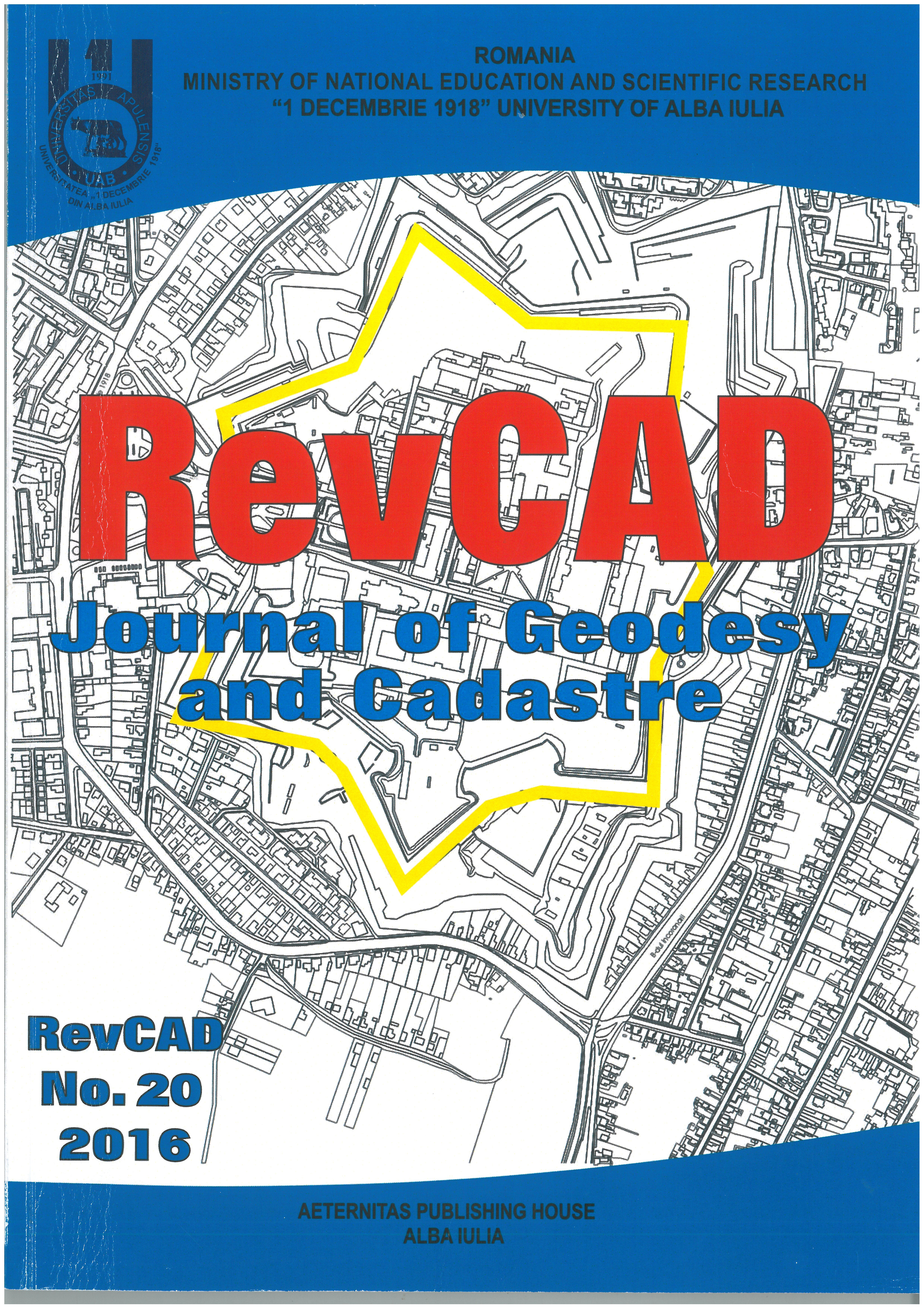
The Utility of GIS in Antisocial Events Monitorisation
The Utility of GIS in Antisocial Events Monitorisation
The Utility of GIS in Antisocial Events Monitorisation
Author(s): Constantin Bofu, Loredana Crengăniș, Horațiu – Iulian Hogaș, Bogdan MandacheSubject(s): Geomatics, Maps / Cartography, Criminal Law
Published by: Editura Aeternitas
Keywords: Crime; Hotspot; Geospatial Data; Database Design; Conceptual Modelling; Logical Design; Physical Design; Entity Relationship and Relationship Enforcement;
Summary/Abstract: This paper intends to analyze antisocial and criminal events in Iasi municipality assesses and finding potential factors that generate this phenomenon. This assessment was necessary to build databases of antisocial events; each event is recorded with all its significant data. For this work was needed antisocial collection events were classified into several types of offenses using online media.
Journal: RevCAD Journal of Geodesy and Cadastre
- Issue Year: 2016
- Issue No: 20
- Page Range: 39-44
- Page Count: 6
- Language: English

