Cookies help us deliver our services. By using our services, you agree to our use of cookies. Learn more.
  • Log In
  • Register
CEEOL Logo
Advanced Search
  • Home
  • SUBJECT AREAS
  • PUBLISHERS
  • JOURNALS
  • eBooks
  • GREY LITERATURE
  • CEEOL-DIGITS
  • INDIVIDUAL ACCOUNT
  • Help
  • Contact
  • for LIBRARIANS
  • for PUBLISHERS

Content Type

Subjects

Languages

Legend

  • Journal
  • Article
  • Book
  • Chapter
  • Open Access
  • Geography, Regional studies
  • Physical Geopgraphy

We kindly inform you that, as long as the subject affiliation of our 300.000+ articles is in progress, you might get unsufficient or no results on your third level or second level search. In this case, please broaden your search criteria.

Result 461-480 of 1302
  • Prev
  • 1
  • 2
  • 3
  • ...
  • 23
  • 24
  • 25
  • ...
  • 64
  • 65
  • 66
  • Next

Пронос силта у сливу Јерме

Author(s): Predrag Manojlović,Sanja Mustafić,Slavoljub Dragićević / Language(s): Serbian Issue: 2/2003

The specific carrying of silt, in the Jerma river basin to the profile Trnski Odorovci, is 82,3 t/km/year. In some years it is extremely high (in 1969, 267504 t, or 480.0 t/km/year of silt has been carried out of basin) while in the other it is very low (in 1979 only 10.4 t/km/year). On the other hand, the seasonal differences in silt concen-tration and amount of erosion are very significant. So, complexed influence of all physico – geographical factors has great influence on seasonal rhythm of carrying and silt concentration. The most erodible are winter and spring months.

More...
Планина Цер - потенцијали за развој туризма

Author(s): Mirko Grčić,Ljiljana Grčić / Language(s): Serbian Issue: 2/2003

Considering the prevailance of the location and estetic composition of the landscape and the appearance of the Cer area it is exeptional mountain range in the north-west Serbia. This is the area of atractive natural heritage and very important cultural characteristics. The mountain has very various geological structure with dinamic morphogenezis and jogged relief. Cer mountain is characteristics because of the natural resources and variousity of flora and fauna, complexity of fitocenozes and ecosistems. Cer mountain is not yet proclaimed for national park althought all this facts. Protection of the mountain wil induce the development of ecotourism. Specialy valuable quality of the Cer mountain is very good coditions for sustainable development of various forms of ecotourism.

More...

Термоминералне воде Новопазарске бање

Author(s): Mirjana Gajić / Language(s): Serbian Issue: 1/2003

Novopazarska banja (spa) is situated in the southwestern of Serbia, on 3 km of Novi Pazar,in near surrounding of the Izbicka reka (river) and it belongs to the Rogozna massif. The basic further development of Novopazarska banja is founded on proper using taking care and promoting of natural resorts. The termomineral waters and climate are the fundamental principals of its therapy which is acknowledged by the official medicine and is considered important for curing and rehabilitation of patients.

More...
BULANIK-MALAZGİRT HAVZASI’NIN (MUŞ) HİDROGRAFİK ÖZELLİKLERİ

BULANIK-MALAZGİRT HAVZASI’NIN (MUŞ) HİDROGRAFİK ÖZELLİKLERİ

Author(s): Kemal, M. Taner Kıranşan, Şengün / Language(s): Turkish Issue: 14/2017

Bulanık-Malazgirt Basin (Muş) exists in the middle of this section and in the “Upper Murat-Van Section “ of Eastern Anatolia Region. Bulanık-Malazgirt Basin (Muş) is included Euphrates River drainage basin hydrographically and it exists in downstream of Murat River at the top of this basin. Waters of the region are discharged to Euphrates River and from there to Persian Gulf by Murat River and its arms. Hydrographic properties of the basin were shaped by climate, geology and geomorphological factors of the field. The hydrographic properties of Bulanık-Malazgirt Basin (Muş) that exist in an important position in the Eastern Anatolia Region were’nt searced geographically. The purpose of this work in this framework, The hydrographic properties of Bulanık-Malazgirt Basin are to search geographically. In accordance with this purpose, Digital Elevation Model (DEM), digital topography maps, geological maps and numerical hydrographic data field of examination were analyzed with Geographical Information Systems (GIS). In addition to analyzes related to flow quantities and regimes of rivers were made with data of the flow monitoring stations of DSİ and analyzes of underground waters were made with Malazgirt, Bulanık and Patnos Plain Hydrological Survey Report (1978). At the end of work frequency of streaming web in Bulanık- Malazgirt Basin is not the same everywhere. The basin is fertile in terms of drainage types and climate conditions are decisive on the flow-regime conditions. Plains and basin floors are fertile in terms of groundwater.

More...

Morphological Polycentricity in Southern Europe: Evidence at the National Level

Author(s): Panagiotis Nikolopoulos,Andreas Gkouzos,Athanasios Papadaskalopoulos / Language(s): English Issue: 4/2018

Polycentricity constitutes a thoroughly discussed notion in the European spatial planning agenda. It is mostly seen as a tool for balanced regional development, European competitiveness and sustainable development, with main purpose to counterbalance the concentrated urban configurations of northwest-ern Europe. One of the lagging territories in terms of urban development –among others- is the European Continental South, which, in addition, was severely hit by the recent economic crisis. Therefore, the scope of this article is to monitor the change of national urban systems in terms of morphological polycentricity in the member-states of Greece, Italy, Portugal and Spain, for the period 2000-2014, in order to assess their urban development potential. Thus, the measures of urban primacy and rank-size coefficient are utilized to monitor the change in the degree of morphological polycentricity among the main Functional Urban Areas (FUAs) of the aforementioned countries, and the spatial distribution of FUAs over the na-tional territory is estimated in order to identify the territorial balance aspect of polycentricity. The results indicate mixed outcomes for the examined countries. Despite the undeniably low levels of the derived polycentricity for Greece and Portugal, the polycentricity degree in Greece remains stable, while in Portu-gal there is a trend that favors polycentric development. As for traditionally more polycentric countries, the polycentricity rates of Spain and Italy show marginal change. In terms of territorial balance, Greece and Spain seem polycentric, while Portugal and particularly Italy are characterized as less polycentric in this respect.

More...
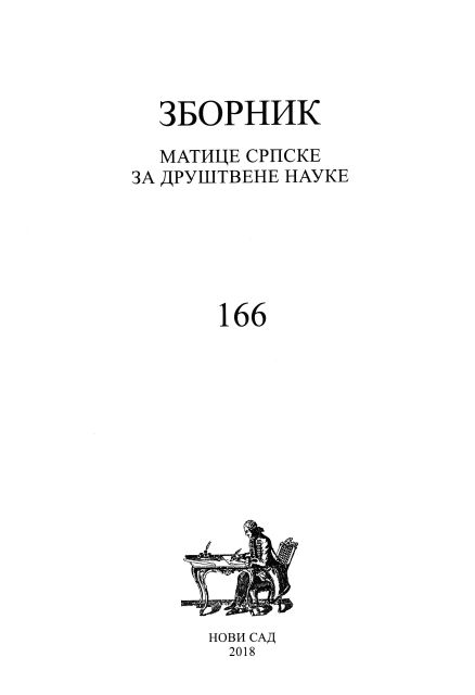
The Mapping of Rural Serbia According to the Index of Natural Amenities

The Mapping of Rural Serbia According to the Index of Natural Amenities

Author(s): Gojko Rikalović,Sonja Josipović / Language(s): English Issue: 166/2018

Amenities are recognized as a new source of comparative advantage of rural areas, which is strategically used for the popularization of the reverse migration flow from urban to rural areas, as well as for enforcing a new development approach defined as the “rural industrialization”. Climate conditions, topography, forest land and water resources have been identified as the main drivers of the migration flow from urban to rural areas. Additionally, they are highly related to economic growth in rural areas with high natural amenities. The current paper has two aims. The first is to highlight the importance of the concept of rural amenities for economic development, with special em phasis on the natural amenities. The second aim is to describe the concept of natural amenities on the example of rural areas in Serbia by introducing a set of measures of natural amenities, as well as a summary natural amenity index which allows the classification of the rural areas in Serbia with respect to their natural amenities. Natural amenities have a significant influence on the total amenity value of rural areas in Serbia. There are significant differences in climate conditions and landscape amenities among rural areas. The mapping of rural Serbia ac cording to the developed index of natural amenities is only the first necessary step in creating an efficient rural policy for the purpose of ensuring sustainable rural development in the future. Rural areas with high natural amenities in Serbia include Raška, Zlatibor, Moravica, Pčinja, Bor and Toplica.

More...
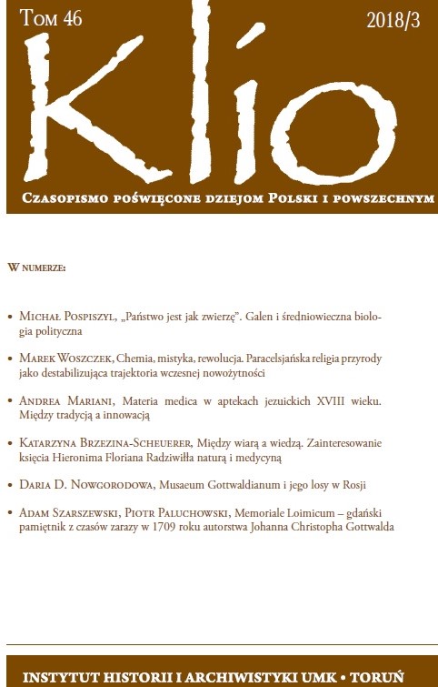
Musaeum Gottwaldianum i jego losy w Rosji

Musaeum Gottwaldianum i jego losy w Rosji

Author(s): Daria D. Nowgorodowa / Language(s): Polish Issue: 3/2018

The paper aims to discuss the Russian period of Musaeum Gottwaldianum. The collection bought by the emperor Peter the Great formed a part of the first Russian museum – St. Petersburg’s Kunstkammer. The author discusses problems and perspectives of attribution of various pieces being formerly a part of Musaeum Gottwaldianum and nowadays of numerous Russian museums’ collections. In Fersman Mineralogical Museum seven Florentine marble stone mosaics were identified. Their attribution to Musaeum Gottwaldianum is proved by the 18th c. catalogues. Also a dessert spoon used by Polish King John III Sobieski depicted in watercolour, nowadays in the Hermitage collection, was a part of Musaeum Gottwaldianum.

More...
Physical geography. Planificări şi proiecte de lecţii pentru clasa a V-a

Physical geography. Planificări şi proiecte de lecţii pentru clasa a V-a

Author(s): Diana Alexandru / Language(s): English Issue: 6/2008

Review of: Dulamă Maria Eliza, “Physical geography planificări şi proiecte de lecţii pentru clasa a V-a”, Clusium Publishing House, Cluj-Napoca; by: Diana Alexandru

More...
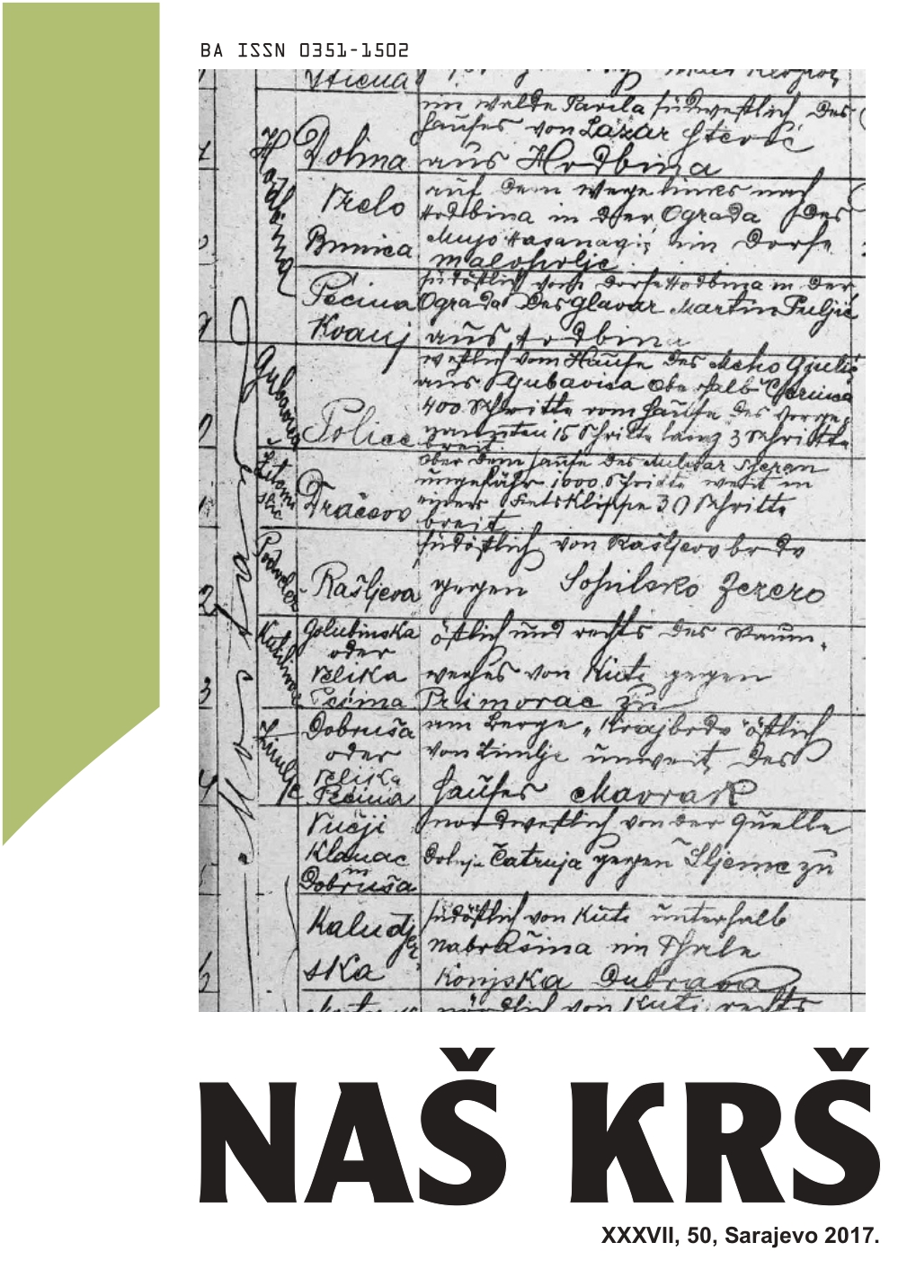
DVIJE METATARZALNE KOSTI IZ MRAČNE PEĆINE U KANJONU PRAČE.

DVIJE METATARZALNE KOSTI IZ MRAČNE PEĆINE U KANJONU PRAČE.

Author(s): Ersan Tiganj,Jasminko Mulaomerović / Language(s): Bosnian Issue: 50/2017

During the speleological researches in Mračna pećina cave in the canyon of the river Prača, in the already excavated probe, two different metatarsal bones of the cave bear Ursus spelaeus were found. A modest morphometric analysis showed that it was two animals and determined their position in the variation range of cave bears from our regions.

More...
REZULTATI ISTRAŽIVANA FAUNE ŠIŠMIŠA SJEVEROISTOČNE BOSNE.

REZULTATI ISTRAŽIVANA FAUNE ŠIŠMIŠA SJEVEROISTOČNE BOSNE.

Author(s): Miralem Husanović / Language(s): Bosnian Issue: 50/2017

Exploring 10 caves in the area of northeast Bosnia during the period from May 2015 till July 2016 by visual observations, occasional detailed examination of individual species and by determination of bone remains 8 species of bats were found: Rhinolophus hipposideros, Rhinolophus ferrumequinum, Rhinolophus euryale, Myotis emarginatus, Plecotus auritus, Miniopterus schreibersii, Pipistrellus pipistrellus i Myotis myotis.

More...
A demographic portrait of Romanian immigrants In California

A demographic portrait of Romanian immigrants In California

Author(s): Dan Valeriu Voinea / Language(s): English Issue: 1/2014

The most numerous Romanian community in the United States of America is in the “Golden State”, California – a state that is a traditional immigration state since the beginning of the gold rush. Officially, there are currently over 60.000 people of Romanian origin established in California, although that number might be much higher because of two factors: undocumented migration and the loss of gradual loss of identity through each generation. Starting from as little as 15-16 families back in 1912 (Alecse, n.d.), Romanians established in California make up 14.5% of the 449,928 immigrants of Romanian origin living in the the United States of America (Voinea, 2014, 62). The aim of this paper is to analyze the current demographic portrait of Romanian immigrants in California, using data from the 2013 American Community Survey.

More...
Hidrogeokemijske značajke geotermalne vode na području Julijevog parka u Daruvaru

Hidrogeokemijske značajke geotermalne vode na području Julijevog parka u Daruvaru

Author(s): Tamara Marković,Ozren Larva,Vinko Mraz / Language(s): Croatian Issue: 6/2012

The Daruvar thermal resort is located in the Toplica river valley, in between the western hillsides of Papuk and the “Ilova depression”. The probability for the occurrence of thermal water depends upon the geological built of this area and the tectonic situation in it. Thermal water springs from Triassic limestone and the dolomites that are located underneath the alluvia of the Toplica river flow in the area of Julijev park in the centre of Daruvar. In order to define the qualities and genesis of geothermal water, samples of geothermal water were taken from the D-1 well, Antun’s spring, Ivan’s spring, the Turkish bath, the Š-1 and Š-3 manholes and the HZ draw-well. According to physical, physico-chemical and chemical indicators, geothermal water in the area of Julijev park has excellent balneological qualities. The isotope indicators show the considerable age of water in the water tank and the lack of recent precipitation in the water tank, or rather the renewal of precipitation is very slow and lasts long.

More...
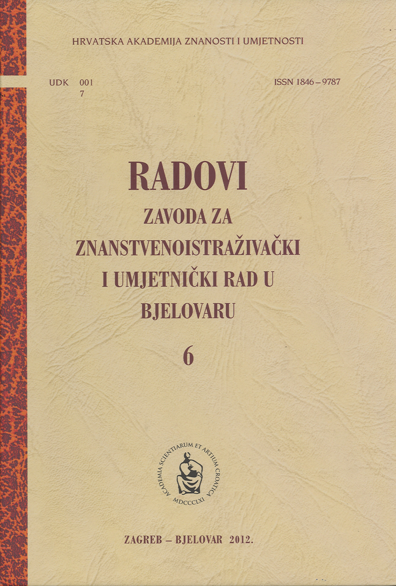
On Quantitative Relationships Between Chemical Structure and Physico-Chemical Properties of Chemical Products. The Case Study: Bjelovar-Bilogora County

On Quantitative Relationships Between Chemical Structure and Physico-Chemical Properties of Chemical Products. The Case Study: Bjelovar-Bilogora County

Author(s): Rudolf Kiralj / Language(s): English Issue: 6/2012

Even small areas as Bjelovar-Bilogora County (BBC) are affected by increasing local and regional pollution. A large variety of organic compounds exists in all parts of the atmosphere, waters and soil, accumulates in living organisms and on anthropogenic objects. This work investigates organic pollutants in BBC in relation to their spread, behavior and chemical properties, based on literature data in absence of experimental measurements. More than 230 organic pollutants were identified in BBC: simple compounds, benzene derivatives, polycyclic aromatic hydrocarbons, polychlorinated and other biphenyls, polychlorinated dibenzo-p-dioxins and dibenzofurans, halogenated alkanes and alkenes, diverse pesticides and antimicrobials. Geographic distribution of organic pollutants was investigated in relation to population density, agricultural activity, position of volatile organic compounds emitters, annual traffic data, and night sky brightness levels as light pollution. It is visible that towns and larger villages as well as main roads are emitters of various organic pollutants and smog generators, whilst typically rural regions are more characterized by pesticides pollution. Three examples for QSPR (Quantitative Structure-Property Relationship) are described and investigated in terms of their statistics (sign change problem) and chemical interpretability: 1) a partial least squares (PLS) regression model for boiling point of polycyclic aromatic hydrocarbons; 2) a multiple linear regression (MLR) model for micellar phase-water partition coefficient of diverse solutes; 3) a MLR model for bioconcentration factor of nonpolar organic compounds. Several samples in the models were already identified as existing pollutants in BBC. Models 2) and 3) failed in the sign check, for which explanations are given and remedies are proposed.

More...
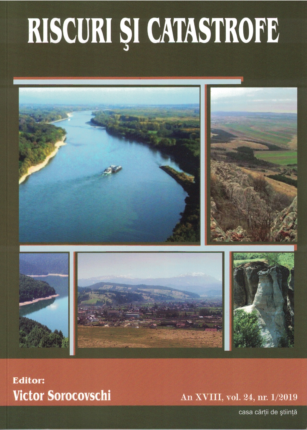
Impact of Human Activities on Nutrient Loads in the Lower Danube Water Bodies

Impact of Human Activities on Nutrient Loads in the Lower Danube Water Bodies

Author(s): ELENA ŢUCHIU / Language(s): English Issue: 1/2019

The paper analyzes the spatial and temporal variation along the Romanian stretch of the Danube River (upstream of the Danube Delta) for a set of water quality indicators reflecting one of the significant water management issues as well as the main pressures identified at the basin level and nutrient pollution. In this respect, an analysis of the point and diffuse sources of pollution has been done, considering the contribution of human agglomerations, agricultural activities and other sources along the Romanian territory. The quantification of the diffuse nutrient emissions from the Romanian analytical units bordering the lower Danube sector has been performed using the MONERIS model. The emission sources and pathways of pollution contributions have been estimated and the nutrient total specific emissions have been mapped. The impact of these pollution sources on water quality has been evaluated through the results of the monitoring program done in the frame of the TransNational Monitoring Network (TNMN) which operates under the International Commission for the Protection of the Danube River (ICPDR). In regards to the concentrations of various forms of nitrogen and phosphorous, such as nitrates, nitrites, ammonium, orthophosphates and total phosphorous, the lower sector of the Danube has been characterized for a period of 10 years (2006-2015) in 6 monitoring sections/sites, outlining spatial and temporal trends. It has been thus observed that the water quality of the Danube River has improved due to the implementation of nutrient reduction pollution measures at the basin-wide level. In addition, the variation of nutrient loads (inorganic nitrogen and total phosphorous) calculated in 3 monitoring sites for the same 10-year period has been analyzed and interpreted from a time and space point of view. At the same time, the total nitrogen and total phosphorous loads transported by the Danube to the Black Sea have been evaluated in order to reach the target nutrient quantities (of 1960 level) agreed upon internationally in order to prevent the eutrophication phenomena of the Northern-Western shelf of the Black Sea.

More...
Prospecting of Natural and Human Tourism Potential of Salaj County.

Prospecting of Natural and Human Tourism Potential of Salaj County.

Author(s): OANA MOIGRĂDEAN / Language(s): English Issue: 1/2019

Salaj county has a rich and diversified tourism potential induced both by natural and human resources. Natural potential consists in the presence of natural resources of the following types: morphological (the mountainous relief, spectacular valleys with sectors of gorges or gullets, karst relief, residual microforms or those created by the action of the external agents), climatic, hydrological (the presence of mineral waters mainly sulfurous and thermal which have been known and used since the previous century, the spectacular landscapes created by some peculiarities of the river valley and also to the presence of a few lakes), bio-geographical (vast areas with forest, which give the appellation of Sylvania Country). In Salaj there are also a few natural reservations and over 350 archeological (the Roman castra Porolissum, and also many other vestiges of Roman, Dacian or even prehistorical origin) and architectural sites with a great architectural and historical value, original gastronomical and folk traditions, cultural and artistic events known both locally and nationally. Distinctive for Salaj county is the presence of over 70 wooden churches, architectural monuments of great artistic and historical value.

More...
GIS for spatial landslide distribution analysis in the Transylvanian Depression

GIS for spatial landslide distribution analysis in the Transylvanian Depression

Author(s): Gheorghe Roșian,Csaba Horváth / Language(s): English Issue: 1/2019

Landslides represent one of the most important hazardous geomorphic phenomena in the Transylvanian Depression, the vast depressional area inside the Carpathian Mountains. For the landslide’s distribution analysis, we used five criteria: geology, slope, altitude, exposition and the 3rd order administrative units. This type of studies are a must, on one hand to find out how the current landslides are distributed, and on the other hand to identify the areas which are prone to this type of hazardous geomorphic phenomena. By investigating the study area’s ortophotoplans and topographic maps, 13.157 landslides were vectorized to create a landslide inventory map. The study shows that lithologic conditions (the presence of friable rocks such as marls, clays, sand) and the land use (mostly agricultural lands) are the most defining factors for landslide development, it is believed that in the future landslides will appear on similar slope, orientation and geological conditions. In this situation, to know the susceptible areas to landslides it will represent a valuable information for the territorial planning and also to avoid the building and expanding of other civil engineering constructions on lands which are prone to landslides.

More...
Climate risks in the Babadag Plateau, Dobrogea, Southeastern Romania.

Climate risks in the Babadag Plateau, Dobrogea, Southeastern Romania.

Author(s): ȘTEFAN IONUȚ SAVA / Language(s): English Issue: 1/2019

Climatic risk phenomena are researched and monitored by specialized institutions at both national and international level, due to their important economic and environmental impact. The purpose of this study is to know in detail the climatic risks to which the Babadag Plateau is subjected and the effects they have on society and the environment. Based on the official data recorded during 1965-2005, at the analyzed meteorological stations, maps were developed through the GIS (Geographic Information System) software, graphical representations for a better comparison of the particularities of climatic risk phenomena, and several specialized bibliographic sources were consulted. The results of the study highlight the fact that the Babadag Plateau can be subject to climatic risks throughout the year. The need for knowledge of these phenomena is imposed by the consequences they have on the economy, society and agricultural activities carried out within that territory.

More...
Floods, overflows and their management. Case studies on the lower course of the Ciorogârla River

Floods, overflows and their management. Case studies on the lower course of the Ciorogârla River

Author(s): Manuela Bărbărie / Language(s): English Issue: 1/2019

The paper is made up of 3 parts, divided in 5 chapters. Chapter 1 defines basic notions (hazard, vulnerability, risk) and describes the main phenomena regarding the hydrological risk addressed in the paper, namely floods and overflows. In chapter 2, there is a brief history of the study area from a geographic point of view. Chapter 3 addresses the geographic frame of the study area, insisting on the responsible factors (trigger and favoring) of floods and overflows. Chapter 4 analyzes the hydrological variability of the Ciorogârla River in general and its overflows and floods in particular. In chapter 5, the management of floods and in the lower course of the Ciorogârla River is considered, with a special attention given to the structural and nonstructural measures.

More...
INTERNATIONAL CONFERENCE DEDICATED TO WORLD WATER DAY AND WORLD METEOROLOGICAL DAY March 22 – 24, 2019 Cluj-Napoca, ROMÂNIA

INTERNATIONAL CONFERENCE DEDICATED TO WORLD WATER DAY AND WORLD METEOROLOGICAL DAY March 22 – 24, 2019 Cluj-Napoca, ROMÂNIA

Author(s): Simona CINTA PINZARU / Language(s): English Issue: 1/2019

More...
İDARENİN DOĞAL AFETLER NETİCESİNDE MEYDANA GELEN ZARARLARDAN SORUMLULUĞU

İDARENİN DOĞAL AFETLER NETİCESİNDE MEYDANA GELEN ZARARLARDAN SORUMLULUĞU

Author(s): Esin Gürsel / Language(s): Turkish Issue: 2/2018

Turkey is a typical natural disaster country because of geographical location (geological and topographical structure) and climate. Natural disasters like earthquakes, landslides, floods, rocks and avalanches have caused life and property losses since ancient times. Administration is obliged to take necessary precautions to prevent occurrence damage before the disaster. Administration also has post-disaster duties such as providing assistance to victims, providing shelter, and providing health services. Liability of Administration arises in case of service fault before and after natural disaster. Administration is obliged to compensate this damage. In this article, firstly the concept of "disaster" is explained. Then, the legal meaning of the disaster was tried to be determined and the relationship between disaster and liability of administration is stated. "Öneryıldız / Turkey", "Budayev and Others / Russia", "Kolyadenko and Others / Russia" decisions of European Court of Human Rights are associated with the liability of administration damage caused by natural disasters. We had tried to draw the limit of administrative liability by taking in consideration these decisions.

More...
Result 461-480 of 1302
  • Prev
  • 1
  • 2
  • 3
  • ...
  • 23
  • 24
  • 25
  • ...
  • 64
  • 65
  • 66
  • Next

About

CEEOL is a leading provider of academic eJournals, eBooks and Grey Literature documents in Humanities and Social Sciences from and about Central, East and Southeast Europe. In the rapidly changing digital sphere CEEOL is a reliable source of adjusting expertise trusted by scholars, researchers, publishers, and librarians. CEEOL offers various services to subscribing institutions and their patrons to make access to its content as easy as possible. CEEOL supports publishers to reach new audiences and disseminate the scientific achievements to a broad readership worldwide. Un-affiliated scholars have the possibility to access the repository by creating their personal user account.

Contact Us

Central and Eastern European Online Library GmbH
Basaltstrasse 9
60487 Frankfurt am Main
Germany
Amtsgericht Frankfurt am Main HRB 102056
VAT number: DE300273105
Phone: +49 (0)69-20026820
Email: info@ceeol.com

Connect with CEEOL

  • Join our Facebook page
  • Follow us on Twitter
CEEOL Logo Footer
2025 © CEEOL. ALL Rights Reserved. Privacy Policy | Terms & Conditions of use | Accessibility
ver2.0.428
Toggle Accessibility Mode

Login CEEOL

{{forgottenPasswordMessage.Message}}

Enter your Username (Email) below.

Institutional Login