Cookies help us deliver our services. By using our services, you agree to our use of cookies. Learn more.
  • Log In
  • Register
CEEOL Logo
Advanced Search
  • Home
  • SUBJECT AREAS
  • PUBLISHERS
  • JOURNALS
  • eBooks
  • GREY LITERATURE
  • CEEOL-DIGITS
  • INDIVIDUAL ACCOUNT
  • Help
  • Contact
  • for LIBRARIANS
  • for PUBLISHERS

Content Type

Subjects

Languages

Legend

  • Journal
  • Article
  • Book
  • Chapter
  • Open Access
  • Geography, Regional studies
  • Physical Geopgraphy

We kindly inform you that, as long as the subject affiliation of our 300.000+ articles is in progress, you might get unsufficient or no results on your third level or second level search. In this case, please broaden your search criteria.

Result 921-940 of 1301
  • Prev
  • 1
  • 2
  • 3
  • ...
  • 46
  • 47
  • 48
  • ...
  • 64
  • 65
  • 66
  • Next
The spatial distribution of renewable energy infrastructure in three particular provinces of South Africa

The spatial distribution of renewable energy infrastructure in three particular provinces of South Africa

Author(s): Andrea Lombard,Sanette Ferreira / Language(s): English Issue: 30/2015

Renewed interest is being shown in South Africa in the promotion of infrastructure for renewable energy (RE) to supplement the country's current energy-generation capacity and to break loose from its dependency on an unsustainable fossil-fuel-based energy-provision system. The latter system not only has unfavourable consequences for the environment, but is managed by a state-owned institution which since 2008 has been incapable of providing reliable electricity. RE infrastructure - especially for the generation of solar and wind energy - is a relatively new feature in the South African landscape. This paper examines the spatial distribution of the newly commissioned infrastructures for wind and solar energy (operational and under construction) and the role they can play in the diversification of the rural economies of parts of the country's Northern Cape, Western Cape and Eastern Cape provinces. First, literature on evolutionary economic geography, path dependence and new path creation is reviewed. Second, the role of a single energy provider - embedded in a monopolistic energy policy -in inhibiting the transition from a mainly fossil-fuel-based energy-provision system to a multisource (multi-owner) provision system is discussed. Third, the reasoning behind the siting of the infrastructures for solar and wind energy in three particular provinces is explained. Fourth, the possible roles these new infrastructures can play in the diversification of the rural economies where they occur are advanced. The paper concludes that solar- and wind-energy projects have the ability to transform the South African energy context and that these projects present some positive socio-economic impacts for rural economies in the three particular provinces. The paper also recommends that future research efforts should be aimed at the evolution of this socioeconomic transformation by taking into account the pre-development context of the areas under study.

More...
AZƏRBAYCAN TOPONİMİYASINDA COĞRAFİ TERMİNLƏR BİR MƏNBƏ KİMİ (Abşeron regionunun toponimik materialları əsasında)

Author(s): Mahirə Abbasova / Language(s): Azerbaijani Issue: 6/2010

The oronyms (the names of geographical objects reflecting the relief structure) constitute one of the basis branches of the Azerbaijan toponymy. The article is dedicated to the oronyms and common used and local popular geographical terms which take part in their creation. A number of local popular geographical terms in the composition of microtoponyms have been defined and their origins and meanings explained as a result of studies. While etymological analysis of geographical names the study of terms becomes the universal method. The studies show that the oronyms created on the basis of geographical terms make up the majority in territorial toponymy. More expressive reflection of the features of natural geographical landscape of the territory in oronymy and wide utilization of words used in the Azerbaijan language, dialects are the main reason of this matter.

More...
Planul de Amenajare a Teritoriului Judeţean Vrancea

Planul de Amenajare a Teritoriului Judeţean Vrancea

Author(s): Elena Stancu,Elena Avădanei,Alina Chicoş,Florin Chiperi,Mariana DOROBANŢU,Irina Moldoveanu,Viorica NICULESCU,Cosmin Olteanu,Alexandru-Ionuţ Petrişor,Gabriel PREOTEASCA,Monica Tache,Dinu Zaharescu,Cristina Ivana,Mioara DUMITRU,Ancuţa GHIOLDEA,Veronica Crăciun,Adriana CALDERAN,Iosefina Bogdan,Gabi Nitu,Consuela NEACŞA,Ion HORŞIA / Language(s): Romanian Issue: 2/2010

Plan of the Vrancea County is the spatial expression of the socio-economic development of the County. The study will provide a global framework for possibilities and uniform development in regional and national context. P.A.T.J. Vrancea seeks to optimize the use of natural resources, the use of work resources and the distribution of the popula tion in order to create a permanent balance between how to exploit the natural and economic potential, of the one part, and the protection of the environment, on the other hand, through a responsible management of the territory in accordance with the principle of sustainable development. P.A.T.J. Vrancea aimed at solving specific problems of the territory in the context of efficiency, fairness, transparency and the involvement of communities in decision-making.

More...
Dry density in relation to other geotechnical proprieties of Algiers clay

Dry density in relation to other geotechnical proprieties of Algiers clay

Author(s): Mohammed Amin Benbouras,Ratiba Mitiche Kettab,Hamma Zedira,Alexandru-Ionuţ Petrişor,Fatiha Debiche / Language(s): English Issue: 1/2017

Geotechnical study is one of the most important stages of the project study; it is based on an objective study on ‎the soil of the site to determine the various characteristics, whether mechanical or physical. On the other ‎hand, in the majority of projects the number of completed tests does not allow to get reliable statistical results, ‎but here it features the role of personal or collective experiences to use different correlations performed by ‎researchers and statistical studies carried out for the different soil characteristics.‎ This article shows the results of a statistical study to relate dry density to other geotechnical parameters like ‎wet density (Dh), plasticity index (Ip), water content (w), void ratio (e), plastic limit (Wp), liquid limit (Wl), ‎consistency index (Ic), Preconsolidation pressure (σ'p), Compression Index (Cc), swelling index (Cg), cohesion ‎‎(cu), friction angle (φ) and liquidity index (Il); in Algiers region, and that in order to help geotechnical ‎engineer to predict the values of this parameters from dry density considering this latter an account of the ‎easiest calculated properties in the laboratory. More than 700 samples have been collected; over 120 ‎geotechnical projects have been done in the Algiers area to be used in this study.

More...
TRANSLATION STRATEGIES AND DIFFICULTIES IN A GEODESY TEXT

TRANSLATION STRATEGIES AND DIFFICULTIES IN A GEODESY TEXT

Author(s): Madalina Nica,Ion Ciobanu,Maria Constantinescu / Language(s): English Issue: 2/2015

Geodesy originated from the need to allocate land and property boundaries and to document the country's borders. Furthermore, with the dawn of modern times, geodesy has evolved, becoming an essential instrument in order to determine the size, shape and gravitational potential of the Earth, among others. We have chosen the sixth chapter of "Geodezie", written by Carmen Grecea, which revolves around geodetic networks, their tracing and materialization. The center point of our article will be the triangulation network and its purpose is to give a solid background on the occurring problems when translating difficult technical texts from Romanian into English. We, hereby, bring forth the translation procedures and methods of translation established by Peter Newmark in his book A Textbook of Translation in order to form certain guidelines for future confrontation with such issues. We have used mainly literal translation, the exceptions requiring a more in-depth study.

More...
GRAND CAYMAN ENVIRONMENTAL HISTORY: A CASE STUDY OF THE ANTHROPOCENE

GRAND CAYMAN ENVIRONMENTAL HISTORY: A CASE STUDY OF THE ANTHROPOCENE

Author(s): J. Donald Hughes / Language(s): English Issue: 13/2017

The Anthropocene is the idea that human actions have become such a powerful force in the transformation and control of the rest of nature as to leave traces in the natural environment that will persist into future ages, justifying the designation of a new epoch in geological and environmental history. Among conflicting theories as to when the Anthropocene began, important support exists for the »Great Acceleration« of many factors after the Second World War. As a case study, the small and relatively isolated Grand Cayman Island allows scholars to see transformations that are rapid and can be traced to specific causes. There were no native human inhabitants, establishing a baseline in that the island was in a natural state until residents came in the seventeenth century. In the 1960s, after separation from Jamaica, legislation exempting business from taxes was enacted, making the Caymans a notable tax haven and encouraging economic growth. Capitalism and the world market economy played a major role in establishing human formation and control of nature in Grand Cayman Island. Population increased rapidly and tourism became a leading form of development. The Anthropocene does not mean total human control of nature. Hurricanes, earthquakes, and rising sea level are realistic threats to Grand Cayman Island. A number of endemic plants and animals evolved on the island, but a large percentage of these species, and indeed ecosystems, are now threatened with extinction due to human activities including introduction of aggressive species. Programs have been undertaken to protect and restore native species such as sea turtles and the blue iguana, and to designate protected areas. Measures to combat mosquitoes have succeeded. The future of Grand Cayman Island with continued capitalistic development could make it a Caribbean Hong Kong, but nature could intervene.

More...
Variability of Air Temperature During Winter Between 1961-2022 in Southwest Romania (Oltenia).

Variability of Air Temperature During Winter Between 1961-2022 in Southwest Romania (Oltenia).

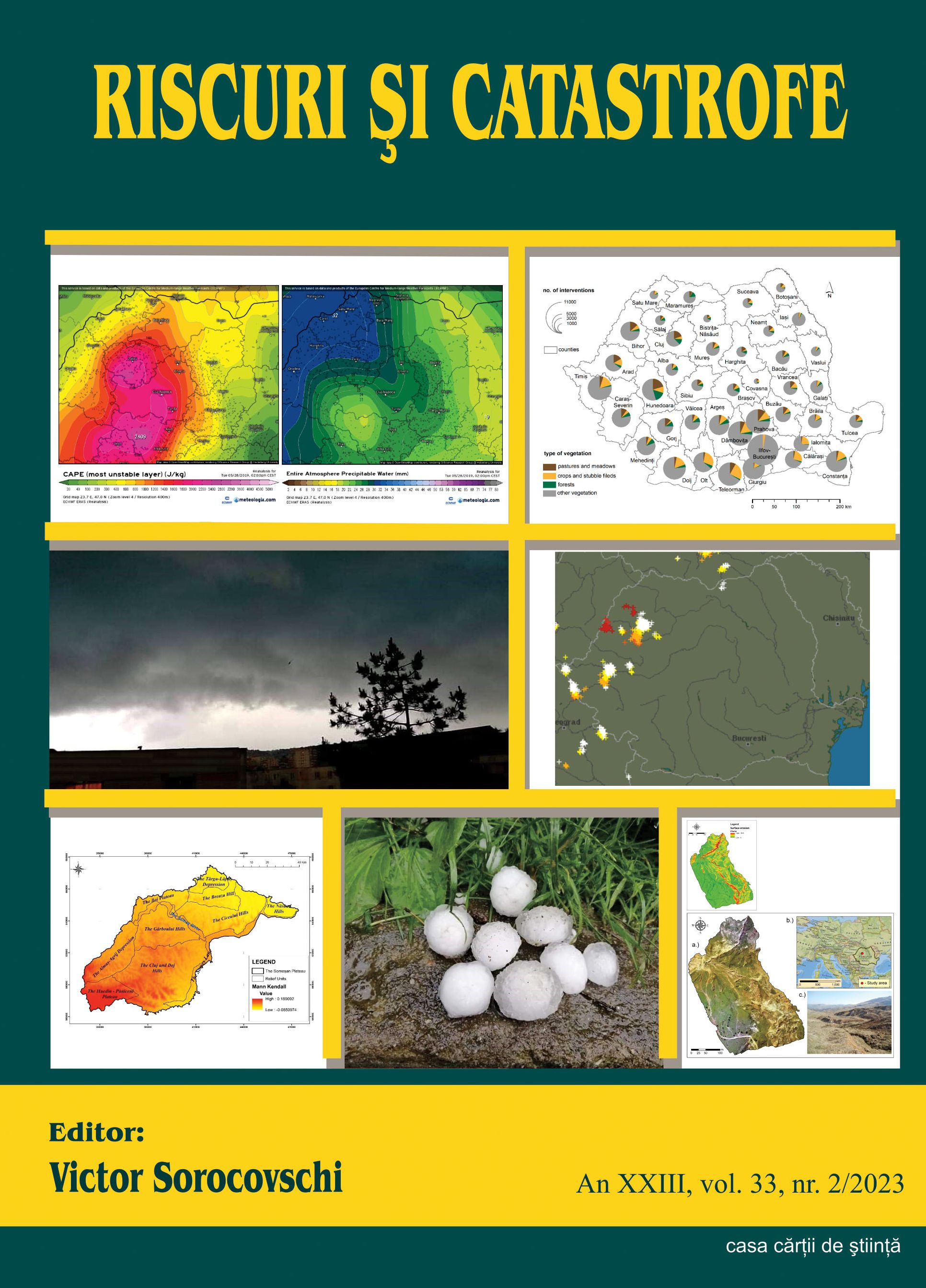
Author(s): Ion Marinica / Language(s): English Issue: 2/2023

The periods of heating and cooling of the weather on Earth followed each other with great irregularity and caused significant variations in air temperature but allowed the existence of life and especially of the human species. In the paper I have analysed the variation of the air temperature in Oltenia during the winters for the interval 1961-2022. A number of our other works have analysed climate variability in this part of Romania. After the warm interval 1945-1955 there followed a gradual cooling of the weather, and in the interval 1986-2022 (for 36 years), there was not a single very cold winter (FR) but only two cold winters (R) and two cool (RC). The interval 2000-2022 (23 years) was the warmest of the entire period of meteorological observations in Oltenia. Many annual, monthly and daily temperature climate records have been broken. At the same time, in the analysed interval, in the polar areas the rate of melting of the ice increased a lot and exceptional thermal maxima were recorded in the cold season. The warm periods during the winters were increasingly longer, more frequent and more intense. The work is useful to all those interested in climate variability in Oltenia.

More...
Assessing soil erosion caused by raindrops utilizing the index of erosion through precipitation (R-factor).

Assessing soil erosion caused by raindrops utilizing the index of erosion through precipitation (R-factor).

Author(s): PAULA CODREA,Iulian Horea HOLOBÂCĂ,Ioan-Aurel Irimus,Lóránt Bálint-Bálint / Language(s): English Issue: 2/2023

Soil erosion caused by raindrops is a topic that arouses the interest of researchers at the international level. The negative impact that this meteorological phenomenon has on the edaphic component determines a limited development of the zone or area on which the entire research process takes place. In order to arrive at an analysis consistent with the reality on the ground, many researchers have used an essential indicator, namely, the R-Factor. It highlights the action of the kinetic energy produced by precipitation over a period of time. The purpose of our research is to reveal the degree of soil erosion following raindrops, with the Someșan Plateau situated in North-West Romania as a study area. The spatio-temporal analysis consisted in the processing of the ESDAC (European Soil Data Centre) databases that were outlined following the application of the R-factor indicator, on which we applied GIS techniques, in order to finally obtain cartographic material that reveals on the basis of several analysis indices, the degree of soil erosion in a time interval (1970-2018). The notable results that we obtained after processing the data, outline the fact that during the analyzed period a low amount of precipitation is recorded, an aspect that creates a low degree of erosion. Regarding the probability of producing erosion determined by this meteorological phenomenon, the values obtained are reduced far below the normal values of the analyzed indicators, highlighting that the probability of producing a high-risk erosion in the near future is zero.The results of our research, including the entire cartographic material, will be able to be used by the competent authorities (the town hall of Bălan commune, the county councilas) as a basis for spatial development projects

More...
A CSÍKI-MEDENCE KÖZÉPKORI KÖRNYEZETI VISZONYAIRÓL

A CSÍKI-MEDENCE KÖZÉPKORI KÖRNYEZETI VISZONYAIRÓL

Author(s): István Botár / Language(s): Hungarian Issue: 1/2019

The Ciuc-basin is known as one of the coldest regions of the country, where the forests are mainly formed of pines and this vision is regularly projected to the Medieval Times. Archaeological data does not confirm this presumption, on 3–15th century sites often appear carbonised oak pieces. Oak timber elements can be found also in medieval churches and manors. From the 3–4th and 16–17th centuries there are several data regarding intensive metallurgy activities which needed a huge amount of hard wood, namely oak and beech. The former oak forests are mentioned in the written sources, their memory is proven by the place names and also by pollen-data of environment history researches. The main conclusions of the paper are: the better climate conditions of the post-roman and medieval periods were more likely with those of central Transylvania and allowed the development of local human communities. The internal low-situated (oak) forests were cleared continuously specially in the 17–18th centuries. Once the climate changes of the small ice-age its effects were stronger in the Ciuc-depression due its high altitude and thermic inversion phenomenon. In these conditions the competition between species was won by the pines. The present flora and forest situation of the intra-mountain depressions was formed by the fallowing factors: human interventions (clearing), cooling of the climate (“little ice age”) and competition among the species. The projection of the present environment situations into the historical times could lead to erroneous interpretations.

More...
Cartarea percepției. Abordări inovatoare de cartografiere digitală ca metode de investigație urbană

Cartarea percepției. Abordări inovatoare de cartografiere digitală ca metode de investigație urbană

Author(s): Maria Boștenaru Dan,Adrian Ibric / Language(s): English,Romanian Issue: 15/2023

This paper presents translation methods of innovative mapping approaches, from paper-based techniques from historical periods to the digital realm for 3 case studies: Bucharest, Lisbon and Rome. Such paper-based techniques are the 18th century’s city map of Rome (by Giambattista Nolli), the 1950s-60s psycho-geographical maps developed by situationists (Guy Debord) and novel visual layouts from architects and urban planners (Kevin Lynch, Saverio Muratori). A previous mapping developed by Bostenaru and Panagoupoulos (2014) of the 18th century Lisbon earthquake, based on a chronicle azulejos engraving of the event, is also considered as a base point for a more modern perception visualization of this location. Digital techniques include story maps and layered mapping. Several story maps types were investigated for walking or cycling tours. These kinds of tours are a method of investigation, more suitable in architecture than in geography, as reviewed for Rome. Photography is another such instrument and the path taken in the story map is suitable for this. The charted buildings span from 20th century heritage, to sites relevant for the effects of earthquakes, the latter for Bucharest and Lisbon. The Rapid Visual Screening method (RVS) focuses on the structural material in Bucharest, while heritage habitat approaches emphasize the role of green materials, for Lisbon and Rome. Innovations in the paper maps as well as scenario thinking (Helmuth Kahn) permit differentiating between emblematic and common buildings, which can be achieved digitally through story maps. As the example of Lisbon shows, a further step may be creating VR and 3D models or video content. In conclusion, these story map tools are useful to investigate layers of the city, for writing urban places.

More...
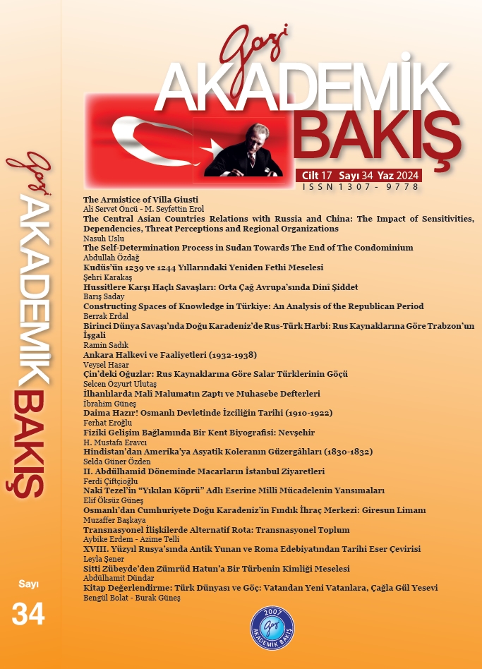
Fiziki Gelişim Bağlamında Bir Kent Biyografisi: Nevşehir

Fiziki Gelişim Bağlamında Bir Kent Biyografisi: Nevşehir

Author(s): H.Mustafa Eravci / Language(s): Turkish Issue: 34/2024

Nevşehir, during the Ottoman period, was a settlement that experienced a process of spatial development both rurally and urbanly through the efforts of state officials and, during the Republic period, through national development efforts. The aim of this research is to analyze the spatial development of the city of Nevşehir from its initial establishment to the present in the context of its physical structuring. The design of this study consists of three stages: The first stage involves presenting the geographical location and historical background up to the Ottoman period. The second stage involves a detailed evaluation of the emergence of the city of Nevşehir in the context of the patronage of an Ottoman pasha in the first quarter of the 18th century and the subsequent development of social-cultural spatial elements based on data obtained from written sources. The third stage examines the reflections of the effects of Republican ideology on the rural and spatial development process. Here, changes in the administrative status of the city due to geopolitical and administrative reasons, as well as changes in spatial elements arising from migration, industrialization, tourism, and new production areas, will be addressed. This study, with an interdisciplinary approach, will contribute to the discussion of the spatial and functional effects of administrative arrangements and demographic changes in the context of the urbanization process. It will also provide an analytical framework for planning decisions regarding the city’s future in the context of the interaction between migration, industrialization, tourism, and urbanization.

More...
Eğitim Kurumlarında Afet Yönetimi

Eğitim Kurumlarında Afet Yönetimi

Author(s): Hakan Kaya,Erdoğan Ergin,Mehmet Şerif Bakır,Alev Sinoğlu,Abdülkadir Tezcan,Berna Bakır,Asiye Tezcan / Language(s): Turkish Issue: 20/2023

The rapidly increasing population throughout the world and the unplanned and non-engineered construction that has emerged in parallel with this have increased the impact of disasters on human life over time. Unfortunately, despite the rapid development of technology and the increased use of artificial intelligence, both unplanned construction in old residential areas and the lack of adequate engineering infrastructures of new structures further increase the negative effects of disasters on human life. One of the areas where these negative effects show themselves strongly is the education sector. Mistakes made in the selection of school places, inadequacy of structures in terms of engineering, teachers' and students' approaches to disaster management, socio-psychological processes account for only a few of the negative effects of disasters on education. In this study, in addition to the negative effects of disasters on the education sector, disaster management in educational institutions has been discussed in detail, giving examples of what should be done during and after a disaster, and recommendations have been presented on what should be done to reduce these negative effects. While this was being done, the authors were working in the Beylikdüzü district of Istanbul (Şehit Mehmet Şefik Şefektemlioğlu Kindergarten, Fatma Şensoy Elementary School, Şehit Bilal Elementary School, Dr. Ayla Savaş Secondary School) schools were considered as a sample area. The findings obtained have made important inferences that can guide educational institutions to create a more effective disaster preparedness and response strategy.

More...
Peculiarities of soybean-rhizobial systems subject to different levels of water supply following treatment with succinic acid and epibrassinolide

Peculiarities of soybean-rhizobial systems subject to different levels of water supply following treatment with succinic acid and epibrassinolide

Author(s): S. Y. Kots,L. I. Rybachenko,K. P. Kukol,P. P. Pukhtaievych,A. V. Khrapova,О. R. Rybachenko,S. V. Omelchuk / Language(s): English Issue: 4/2023

All around the world, one of the leading – according to area of cultivated fields – oleic crops is soybean, which has a high demand for moisture. Given the significance of this crop and negative impact of drought on its yield, integrated research of the influence of insufficient water supply on the intensity of physiological-biochemical processes in those plants is necessary for identifying and understanding the drought-tolerance mechanisms of soybean, as well as symbiotic systems created with its participation, and also for search for ways to adapt it to this stressor. Therefore, our objective was determining the specifics of formation and functioning of the symbiotic systems of soybean and Bradyrhizobium japonicum, following treatment with succinic acid (0.01 g/L) and 24-epibrassinolide (0.00001 g/L), subject to different levels of watering. Our studies revealed that pre-sowing treatment of the seeds with a solution of 24-epibrassinolide with their subsequent inoculation with B. japonicum Т21-2 resulted in the most pronounced stimulation of formation and functioning of the symbiotic systems of soybean in the optimal growing conditions. At the same time, during water shortage, the intensity of nitrogen fixation was the highest in the plants grown from seeds that had been successively treated with the acid and the inoculant. We confirmed that water deficit led to significant increase in the overall content of phytohormones of cytokinin nature in the soybean root nodules, depending on the way the seeds were treated. However, the largest pool of cytokinins was seen in the plants that had been treated with succinic acid against the background of both optimal and insufficient water supply. Treatment of the seeds with 24-epibrassinolide caused significant excess of content of zeatin riboside over the content of zeatin during the flowering stage, whereas in the stage of podsformation it led to an opposite effect – excess of zeatin over zeatin riboside. Fourteen days-long water deficit decreased the content of chlorophylls in the leaves and grain productivity of the plants of all variants of the experiment. The use of growth regulators managed to alleviate the negative impact of stress and protect the pigment complex from ruination. Treatment of the seeds with solutions of succinic acid and 24- epibrassinolide provided the growth of soybean grain productivity regardless on water-supply level. The most efficient was 24- epibrassinolide. Therefore, use of 24-epibrassinolide for pre-sowing treatment of the soybean seeds provided formation of effective symbiotic systems with high nitrogen-fixing activity and caused a number of specific changes in the pattern of accumulation of free and complex forms of cytokinins in the root nodules of those plants. At the same time, the treatment provided the highest concentration of photosynthesis pigments in the soybean leaves, and as a result produced the greatest increase in grain productivity of plants of all the variants, regardless of levels of water supply. In turn, use of succinic acid produced the highest level of nitrogen-fixing activity in the case of the lowest number of root nodules in the conditions of insufficient water supply, and also caused significant accumulation of cytokinins in the nodules, compared with other studied variants against the background of both optimal and insufficient water supply. Therefore, it did result in increase in soybean grain productivity, but this was lower than in the plants treated with 24-epibrassinolide.

More...
Contribution to the evaluation of the biomass of medicinal and aromatic plants in Morocco: Case of Globularia alypum

Contribution to the evaluation of the biomass of medicinal and aromatic plants in Morocco: Case of Globularia alypum

Author(s): A. Ben Salem,A. Boujraf,Y. Dallahi,A. El Aboudi / Language(s): English Issue: 4/2023

Morocco is distinguished by the richness of its flora, including medicinal and aromatic plants (MAPs) which play an important role, particularly in rural populations. Due to pressures often associated with overexploitation, monitoring of MAPs is essential to ensure their sustainability. This study looked to explore the status of Globularia alypum in the Amsittene site of biological and ecological interest (SBEI) in Morocco. A destructive technique was adopted to quantify biomass and productivity of G. alypum at six sites with different ecological characteristics in the Amsisttene SBEI. Linear regression was used to model G. alypum biomass as a function of the normalized difference vegetation index (NDVI). Tree cover had the greatest influence on G. alypum dynamics, showing a significant effect on shrub height, leaf productivity, and total productivity, as did the cutting method, with the highest biomass estimated based on pair matching of similar individuals. NDVI was found to be an adequate indicator of G. alypum biomass, given their high correlation (0.84) with the selected model having an R2 of 0.7. The yield of extracted essential oils ranged from 3.19 to 113.43 L, from which 10 chemical compounds were identified, with ethylvanillin being the most prominent.

More...
Bioecology and hemeroby of flora species in the Northern Steppe Dnipro Region

Bioecology and hemeroby of flora species in the Northern Steppe Dnipro Region

Author(s): B. A. Baranovski,L. A. Karmyzova,D. V. Dubуna,M. V. Shevera / Language(s): English Issue: 4/2023

The information is summarized and an annotated summary of vascular plants of the flora in the Northern Steppe Dnipro Region is represented based on the materials of previous works and on our own more than 40-years research. Bioecological characteristics of the flora species within the studied region were compiled according to the Belgard ecomorph system. For the first time, the paper presented hemerobia of species for the flora in the Northern Steppe Dnipro Region. The current occurrence categories of the plant species in the studied regional flora were given, which allows us to compare changes in their abundance within a territory studied. The occurrence categories and species hemerobicity were established. Rare and endangered vascular plant species were identified using the Red Book of Dnipropetrovsk region, the Red Book of Ukraine, and the European and World Red Lists. Adventive and invasive flora species were noted. A number of vascular plant species new for the region, not previously observed, have been identified. The major families in the studied flora were: Asteraceae, Poaceae, Brassicaceae, Fabaceae, Lamiaceae, Rosaceae, Caryophyllaceae, Scrophullariaceae, Ranunculaceae, Apiaceae, Boraginaceae. As a result of the study, the vascular plant flora in the Northern Steppe Dnipro Region was found to be characterized by significant systematic and bioecological diversity, and a high degree of rarity. It consists of 1,895 species, including 432 rare ones. At the same time, it was characterized by a fairly high degree of adventization, which indicates the modernization of the flora. A significant number of ruderal species, or species that are prone to ruderalization (619 species), and a large number of adventive species (357 species) indicates a significant anthropogenic transformation of the vegetation cover in the region. The paper presents a summary of the vascular plant flora with bioecological characteristics of the species. A detailed analysis of the flora will be presented in a further separate publication.

More...
Morphological and functional diversity of floodplain water bodies and their classification according to the structure of the surrounding vegetation cover

Morphological and functional diversity of floodplain water bodies and their classification according to the structure of the surrounding vegetation cover

Author(s): V. Ruchiy,O. Khrystov,O. M. Kunakh,O. Zhukov / Language(s): English Issue: 1/2024

The study identified the indicators of functional and morphological diversity of the Dnipro River floodplain water bodies within the Dnipro-Orilsky Nature Reserve. The database of recorded water bodies of the reserve consists of 302 objects. The total area of the floodplain and the water bodies close to it is 24.2 km2 , and the area of the water bodies is 6.03 km2 . Thus, the water bodies cover 24.9% of the floodplain area. The water bodies of the Dnipro River channel system account for 17.9% of the number of water bodies in the Reserve and 71.4% of the total area of water bodies and the Dnipro River in the projection of the Reserve. The water bodies of the study system are located at a distance of up to 3.2 km from the main channel of the Dnipro River. The average distance is 1.50 ± 0.04 km. The closest water bodies to the main channel of the Dnipro River are those in the Dnipro riverbed, which were formed as a result of the creation of a reservoir in the floodplain. Three factors with eigenvalues greater than unity were extracted as a result of factor analysis of the morphometric features of the water bodies. These three factors explain 85.8% of the cumulative correlation of morphometric features. Factor 1 reflects a latent variable that can be identified as the total size of the ponds. The total size of the water bodies was the largest for the Orilsky Canal, with slightly smaller sizes in the water bodies of the Dnipro River channel. The smallest water bodies were in the Obukhivka system. Factor 2 as a latent variable can be identified as the level of shoreline development. According to this indicator, the water bodies of different systems did not differ. Factor 3 can be identified as the altitude and variability of the relief surrounding the water bodies. The lowest values of this factor were for the water bodies of the Orilsky Canal and the Obukhivka system. The values were slightly higher for the water bodies of the Taromske and Mykolaivka systems. The highest levels of relief and its variability were characteristic of the areas close to the water bodies of the Dnipro channel system. Cluster analysis allowed us to identify seven clusters that are relatively homogeneous in terms of morphometric features. These clusters can be differentiated based on the results of discriminant analysis. An important aspect of differentiation is the size of the water bodies, the development of the shoreline, and the height of the terrain surrounding the water bodies. The identified clusters correspond well to the types of water bodies, which are selected based on their orientation relative to the preferred direction of water flow. The satellite image classification was used to identify 15 types of vegetation cover within the reserve. The water bodies are characterized by specific spectra of the main types of plant communities in their surroundings. The cluster analysis of the water bodies resulted in nine clusters based on the structure of the vegetation complexes surrounding them. Each cluster contains the entire list of vegetation types that have been established for floodplain ecosystems. The peculiarity of the complexes lies in the specific ratio between different vegetation types. The most important structural factors that distinguish the complexes are the projective cover of oaks, floodplain meadows, and shrubs. At the top level of the hierarchy, the complexes are differentiated by the projective cover of floodplain meadows. At a lower level, the differentiation is based on the projective cover of sands or oaks. The clusters identified on the basis of plant complexes and morphometric features, as well as the types of water bodies in terms of orientation with respect to the prevailing water flows, correspond to each other to a certain extent.

More...
Application of crisis management methods and techniques during a seismic sea wave (tsunami)

Application of crisis management methods and techniques during a seismic sea wave (tsunami)

Author(s): Daniel Chamrada / Language(s): English Issue: 2/2023

Research background: Every year the natural disasters kill or affect millions of people and cause gigantic economic damages. Although it is impossible to eliminate these natural disasters at all, it is possible to mitigate their impacts partly – by effective rescue works implemented in these cases. The impact of these risk events depends on several factors, such as the economic development of the country or locality, and especially on predictability (early warning). Purpose of the article: These activities also include a plan for the deployment of aid distribution centers after a crisis event occurs. The study focuses on the analysis of disaster management events and their development in recent years. On the basis of these findings, it is concluded that for perfect organization it is appropriate to determine the location of the relief distribution centers using mathematical methods. Methods: A multiple objective model is proposed to select relief distribution centres and channels. Thanks to the optimization carried out, it can be easier to provide the necessary help in a timely manner, which is reflected in lower losses of life and property. Optimization model contains three minimization objective functions – following (1) the number of distribution centres in total, (2) the number of distribution channels in total and (3) total distance between distribution centres and channels. The model also contains four constraints. Findings & Value added: Based on the investigation and performed normalization of values, it is advisable to minimize the number of distribution channels, as this purpose function provides the best results. The findings can be applied in tsunami-prone areas to reduce the impact of this natural disaster on the number of deaths, the number of people affected, and the costs associated with rescue efforts.

More...
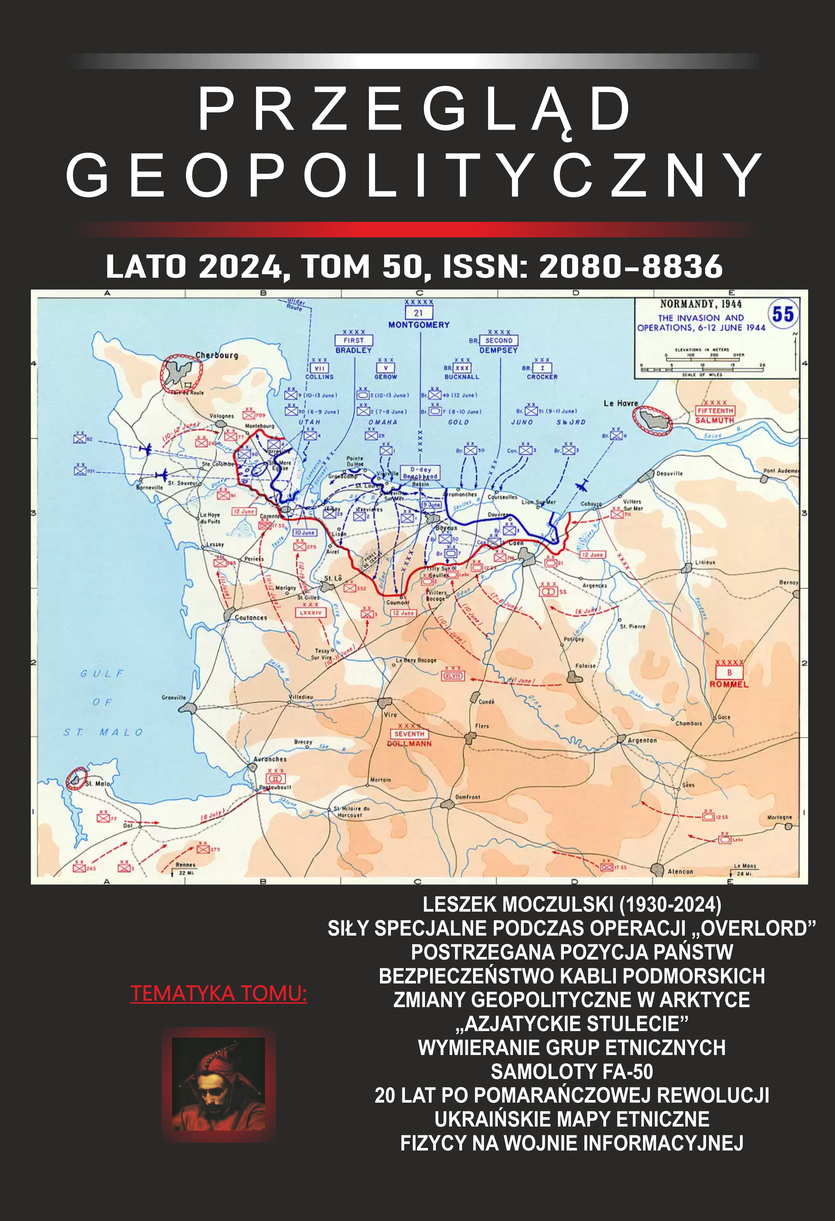
Will the Arctic be a new Mediterranean? Transformations in the polar geographies of power

Will the Arctic be a new Mediterranean? Transformations in the polar geographies of power

Author(s): Marco Ghisetti / Language(s): English Issue: 50/2024

This paper draws upon recent statements by Arctic scholars concerning theneed to equip ourselves with geographically sensitive tools in order to understand thetransformations underway in the northern polar space in regard to power politics. Itargues that Geopolitics is heuristically capable of grasping both the roles played by theArctic as well as the consequences of its opening and transformation. However, in orderto do so Geopolitics as an heuristic approach must be refined and the spatial dynamicthe Arctic responds to must be properly grasped. Inspired by the analyses claiming thatthe Arctic space as a whole makes up a Mediterranean Sea, this paper first proceeds tounderstand what, from a geopolitical point of view, a Mediterranean is; secondly, itcheck whether or not the spatialization processes underway and emerging in the Arcticare turning this area into a Mediterranean. It is concluded that although it is improperto claim that the Arctic as a unitary space is a Mediterranean Sea, the heuristicapproach of Geopolitics can nevertheless single out and understand several spatialaspects and dynamics of undoubtedly growing importance that are played (and at play)by (and in) the Arctic space.

More...

O KANTOVOJ TEORIJI ZEMLJE

Author(s): Petar Bojanić,Rastko Jovanov / Language(s): Serbian Issue: 1/2012

Unsere Absicht ist mittels der Betrachtung der Kantischen Theorie der Erde zu untersuchen in welchem Maß man in seiner Philosophie auch einen Ansätzen der heutigen Ekopotik, die eng verbunden mit der Auslegung Kants über das Verhältnis zwischen der Geographie, des Körpers und der Grenzen unserer Erkenntnis ist, findet. In der Kantischen Philosophie finden wir eine Geoethik, die sich mit dem Problem der menschlichen Seßhaftigkeit auf die Erde und mit seiner räumlich-moralischen Orientierung in der Welt beschäftigt. Kant kritisiert die übliche Erdeauffassung als den Besitz der menschlichen Gattung (species) und fordert durch das praktischen Postulat der Vernunft an, dass es notwendig ist, dass man das menschliche Verhältnis zur Erde wesentlich im Rücksicht auf die körperlich-geographischen Grenzen der unseren Erkenntnis überprüft.

More...
Суровинни източници и строителни материали, използвани през елинистическата епоха в околностите на Месамбрия Понтика по данни от известни археологически обекти

Суровинни източници и строителни материали, използвани през елинистическата епоха в околностите на Месамбрия Понтика по данни от известни археологически обекти

Author(s): Zhivko Uzunov,Bilyana Kostova,Boika Zlateva / Language(s): English,Bulgarian Issue: 1/2023

The main objective of this paper is to present the building materials used in the construction of dwellings and houses from the Hellenistic period from archaeological sites located in the close vicinity of Messambria Pontica [present day city of Nessebar]. Other main goal is to present the raw material sources that were used in the construction of buildings. Thus among the priority tasks in the reconstruction of the settlement patterns in the research area. Results of analyzes of clay samples and roof tiles are also presented, which indicate the existing of workshops and developed local production during the Hellenistic period.

More...
Result 921-940 of 1301
  • Prev
  • 1
  • 2
  • 3
  • ...
  • 46
  • 47
  • 48
  • ...
  • 64
  • 65
  • 66
  • Next

About

CEEOL is a leading provider of academic eJournals, eBooks and Grey Literature documents in Humanities and Social Sciences from and about Central, East and Southeast Europe. In the rapidly changing digital sphere CEEOL is a reliable source of adjusting expertise trusted by scholars, researchers, publishers, and librarians. CEEOL offers various services to subscribing institutions and their patrons to make access to its content as easy as possible. CEEOL supports publishers to reach new audiences and disseminate the scientific achievements to a broad readership worldwide. Un-affiliated scholars have the possibility to access the repository by creating their personal user account.

Contact Us

Central and Eastern European Online Library GmbH
Basaltstrasse 9
60487 Frankfurt am Main
Germany
Amtsgericht Frankfurt am Main HRB 102056
VAT number: DE300273105
Phone: +49 (0)69-20026820
Email: info@ceeol.com

Connect with CEEOL

  • Join our Facebook page
  • Follow us on Twitter
CEEOL Logo Footer
2025 © CEEOL. ALL Rights Reserved. Privacy Policy | Terms & Conditions of use | Accessibility
ver2.0.428
Toggle Accessibility Mode

Login CEEOL

{{forgottenPasswordMessage.Message}}

Enter your Username (Email) below.

Institutional Login