Cookies help us deliver our services. By using our services, you agree to our use of cookies. Learn more.
  • Log In
  • Register
CEEOL Logo
Advanced Search
  • Home
  • SUBJECT AREAS
  • PUBLISHERS
  • JOURNALS
  • eBooks
  • GREY LITERATURE
  • CEEOL-DIGITS
  • INDIVIDUAL ACCOUNT
  • Help
  • Contact
  • for LIBRARIANS
  • for PUBLISHERS

Content Type

Subjects

Languages

Legend

  • Journal
  • Article
  • Book
  • Chapter
  • Open Access
  • Geography, Regional studies
  • Maps / Cartography

We kindly inform you that, as long as the subject affiliation of our 300.000+ articles is in progress, you might get unsufficient or no results on your third level or second level search. In this case, please broaden your search criteria.

Result 461-480 of 1162
  • Prev
  • 1
  • 2
  • 3
  • ...
  • 23
  • 24
  • 25
  • ...
  • 57
  • 58
  • 59
  • Next
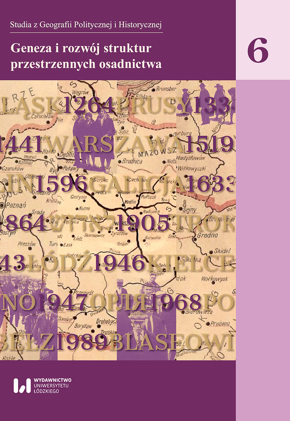
Przemiany morfologiczne małego miasta na przykładzie Nowego Stawu

Przemiany morfologiczne małego miasta na przykładzie Nowego Stawu

Author(s): Łukasz Musiaka / Language(s): Polish Issue: 06/2017

The article attempts to define spatial transformations of the small town of Nowy Staw in the Żuławy Wiślane. The morphological and functional development periods were distinguished, and the most important determinants of its physiognomy and morphology were presented. Nowy Staw has a medieval origin and has played an important economic role in the Vistula delta for centuries. The role was above all commercial, serving the local agricultural base. These functions were reflected in the infrastructure, physiognomy and spatial planning. The specific character of the town may be seen in such elements as the preserved spatial layout, Gothic parish church and evangelical congregation, 19th- and 20th-century residential buildings, historical industrial buildings and farmhouses. This mosaic of historical layers, visible in the form of a contemporary cultural landscape, has not been fully destroyed during the Second World War, nor the postwar period of municipal investments. It is a valuable heritage of the past, as well as the cultural potential and distinguishing factor of the town. The transformation of the functions, physiognomy and space observed in Nowy Staw over the last dozen or so years largely reflect the characteristic functional features of small towns in transformation-period Poland. All this, combined with interesting political history, makes Nowy Staw an outstanding study subject for settlement and historical geography.W artykule dokonano próby określenia przemian przestrzennych małego miasta, jakim jest Nowy Staw na Żuławach Wiślanych. Wydzielono okresy w rozwoju morfologicznym i funkcjonalnym oraz zaprezentowano najważniejsze determinanty, które miały wpływ na jego fizjonomię i morfologię. Nowy Staw ma genezę średniowieczną i od wieków odgrywał istotną rolę gospodarczą w delcie Wisły. Przede wszystkim była to rola handlowa i obsługi lokalnego zaplecza rolniczego. Pełnione funkcje znalazły swoje odzwierciedlenie w infrastrukturze, fizjonomii i rozplanowaniu przestrzennym. O specyfice miasta świadczą m.in.: zachowany lokacyjny układ przestrzenny, gotycka fara i ewangelicki zbór, zabudowa mieszkalna z XIX i XX w., zabytkowe obiekty przemysłowe oraz wiejskie zagrody. Ta mozaika nawarstwień historycznych, widoczna w postaci współczesnego krajobrazukulturowego, nie została całkowicie zniszczona w wyniku drugiej wojny światowej ani powojennego okresu inwestycji komunalnych. Stanowi cenne dziedzictwo przeszłości, ale również potencjał i wyróżnik kulturowy miasta. Przemiany funkcjonalne, fizjonomii i przestrzeni, obserwowane w Nowym Stawie w ostatnich kilkunastu latach, w znacznym stopniu odzwierciedlają charakterystyczne cechy funkcjonowania małych miast w Polsce okresu transformacji. Wszystko to, w połączeniu z ciekawymi dziejami politycznymi, powoduje, że Nowy Staw stanowi niezwykle interesujący przedmiot badawczy dla geografii osadnictwa i geografii historycznej.

More...
Zastosowanie koncepcji mapy dla obiektu w analizie migracji wartości przedsiębiorstw

Zastosowanie koncepcji mapy dla obiektu w analizie migracji wartości przedsiębiorstw

Author(s): Dariusz Siudak / Language(s): Polish Issue: 8.2/2015

In the paper there is presented the analytical tool the map for the object. The tool can complimentary support the linear ordering analysis, in situations when cannot be applied comparison between the objects with regard to a development degree of a considered phenomenon. In the paper the tool the map for the object is presented as a complement in the form of pattern of development in terms of value migration analysis of enterprise or industries. The employment of this analytical tool the map for the object might be seen as a practical application for enterprises considering development of value migration.

More...
4.90 €
Preview

Cum arăta curtea domnească din Iași? Informații inedite din surse cartografice.

Author(s): Laurenţiu Rădvan,Mihai Anatolii Ciobanu / Language(s): English,Romanian Issue: XXXVII/2019

Recent research into the archives in the former soviet space has allowed the discovery of new plans for the city of Iaşi. At the National Library of Ukraine from Kiev, a new version of the 1769 plan was discovered, with the most relevant landmarks from Iași marked on the map. But most important was the discovery – in the Military-Historical Archive in Moscow – of a plan of the princely residence, dated from the period 1769-1774 and with a German legend. This plan– drawn probably by Friedrich Wilhelm Bauer and his team of topographers – allows us to reconstruct the main residence of the prince of Moldavia, as it appeared in the eighteenth century, but also gives important clues regarding how the court evolved over time. Finally, we can see the line of the surrounding wall and accurately place the various buildings that made up this residence, from the most important, the palaces of the prince and his wife, to the church, kitchen, the bath, the stables and other constructions with different purposes. The analysis of the situation of the main church (named "from the gate" in sources) offers the opportunity to launch theories on how the residence evolved, from the fortress from the fifteenth century - the first part of the seventeenth century to the extended residence of prince Vasile Lupu and all the princes that followed until the deadly fire of 1784, which destroyed the court.

More...
PRIVATE RURAL PROPRETY IN NATIONAL
AND EUROPEAN CONTEXT

PRIVATE RURAL PROPRETY IN NATIONAL AND EUROPEAN CONTEXT

Author(s): Aurora Mancia,Mircea Sebastian Mancia / Language(s): English Issue: 14/2019

The Earth is by nature, the most precious economic asset and most essential means of human’s production. Out of all rights, real estate ownership is among the most important, it is the foundation of sustainable and coherent democracy and development; it is the guarantor of economic mechanism functioning. At different stages of our history laws have been elaborated that have tried to improve the structure of private property in Romania. The fundamental desideratum of the Romanian citizens, and in the particular, of the Romanian peasants was and still is to be the owner of the dwelling where they lives and the land they is working on.

More...
INFRASTRUCTURE USE AND DEVELOPMENT PLANS - GENERAL CONSIDERATIONS

INFRASTRUCTURE USE AND DEVELOPMENT PLANS - GENERAL CONSIDERATIONS

Author(s): Petrică Zaharia / Language(s): English Issue: 14/2019

The real estate heritage faces a number of challenges and opportunities. All indications show that, depending on how it is argued, infrastructure development will become increasingly important. Challenges and opportunities include the management of real estate, the sustainable development of the infrastructure and the need to increase the cooperation between the services for the structures. Use and development plans could be valuable tools for program managers through assistance in performing functions, assisting communication along the chain of command and resolving conflicts, and could include a long-term infrastructure work program. contains all current and planned projects, which should be implemented during this time. This should be the basis for long-term program managers for infrastructure costs

More...
TOPONIMI OPĆINE BRATUNAC

TOPONIMI OPĆINE BRATUNAC

Author(s): Mersed Šabanović / Language(s): Bosnian Issue: 11/2019

The paper is designed to cover the geographical components of the survey of toponyms (hydrons, orons and oykons) in the Bratunac municipality. Toponyms in Bratunac municipality are mostly of Protoslavic and Slavic origin. A large number of hydronyms, namely potamonins, are ketics, formed on the basis of the toponyms where they occur. However, there are also hydronyms that are primary in relation to settlements. The name of the settlement was derived from hydronyms, that is, the name of the river that flows through that settlement. A large number of orons are of phytonic origin, characteristic of a large number of orons in the territory of Bosnia and Herzegovina. Most of the settlements (called villages) are patronymic, while there are also a large number of settlements with phytonymic origin. Of great importance for the study of the occurrence of individual orons, hydrons and oykons are folk traditions and stories. Folk traditions about the formation of individual toponyms in the territory of Bratunac municipality are related to the historical facts, activities and work of the population, events throughout history, as well as based on the physical and geographical characteristics of the location of individual settlements.

More...

GEOGRAPHIC SUPPORT REQUIREMENTS FOR FUTURE NATO JOINT EXPEDITIONARY MISSIONS

Author(s): Andris Sprivul / Language(s): English Issue: 1/2016

Maps, geographical overviews and digital images provide valuable knowledge of a mission area and are intensively used for planning purposes at every level of command. The key features of a physical and cultural environment, derived from geospatial databases and maps, affect the entire spectrum of military activities at the strategic, operational and tactical levels. However, maps and geospatial1 data must be produced in advance in order to provide detailed information about an area of operations2 before an expeditionary operation can be deployed. Over the last decade, the International Security Assistance Force (ISAF) has been NATO’s largest and longest running operation and fulfilling its requirements have proved a challenge for NATO’s military geographic community. The extensive use of advanced technological equipment, as well as comprehensive and complex analyses has required precise geospatial data about Afghanistan.

More...
Eckhard Jäger, Die Insel Rügen auf alten Karten. Vier Jahrhunderte Kartografiegeschichte 1532-1885.

Eckhard Jäger, Die Insel Rügen auf alten Karten. Vier Jahrhunderte Kartografiegeschichte 1532-1885.

Author(s): Jürgen Lafrenz / Language(s): German Issue: 1/2017

Review of: Eckhard Jäger: Die Insel Rügen auf alten Karten. Vier Jahrhunderte Kartografiegeschichte 1532-1885. Druck- und Verlagsgesellschaft Husum 2014. 255 S., 124 graph. Darst. ISBN 978-3-89876-740-8. (€ 42,95.). Reviewed by Jürgen Lafrenz.

More...
Die Weite Sibiriens und des Ozeans in Berichten und Aufzeichnungen von Forschungsreisenden von der Mitte des 18. bis zur Mitte des 19. Jahrhunderts

Die Weite Sibiriens und des Ozeans in Berichten und Aufzeichnungen von Forschungsreisenden von der Mitte des 18. bis zur Mitte des 19. Jahrhunderts

Author(s): Dittmar Dahlmann / Language(s): German Issue: 1/2014

Vast unknown regions around the world were travelled and described by scholars in the course of the 18th and 19th centuries. In this paper, James Cook’s three South Pacific expeditions, the second Kamchatka Expedition (1733-1743) and the Academy Expedition (1768-1774) to Siberia will be discussed. One of the main objectives of these expeditions was the mapping of spaces, their cartographic measurement and description. In keeping with the “Age of Reason” the researchers and sailors made use of the most modern technology available in doing so. Wherever they were, whether on the high seas or in the wilderness of Siberia, they measured distances and their respective position, the location of cities, rivers and islands. The daily, sometimes several times daily recurring measurements transformed the vastness of space into a natural obstacle that needed to be mastered. And they clearly deceived themselves into thinking that they might reduce these distances by means of “daily logs”. They were convinced that the maps they drew or inspired represented spaces not that they had made but that they had merely measured.

More...
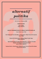
ULUS VE HARİTA

ULUS VE HARİTA

Author(s): Özgür Adadağ / Language(s): Turkish Issue: 2/2020

Map renders the nation visible. It determines the borders of the homeland and distinguishes inside from the outside; it points to the probable threats to the land within the borders or engenders dreams of expansion towards outside the borders. Maps, through presenting the nation and the homeland within a meaningful coherence and concretizing them facilitates people to bond with this unity, hence reinforces the emotion of belonging to the nation. If there were no maps it would have been harder to think about the nation, feel a loyalty towards the homeland and imagine the nation. As a result of this from 19th Century onwards maps became elements of nationalisms. Maps with world maps, history atlases, schoolbooks find themselves an effective and widespread area of usage as educative materials. Hence maps from childhood onwards function as tools where we position the world and ourselves/nation within it. In this study the political language of maps, a neglected issue within the social sciences in Turkey, will be tackled through the nation- map relation. The role maps play in construction and imagination of the nation will be analyzed.

More...
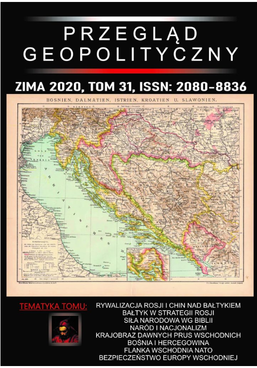
WSPÓLNOTA INTERESÓW CZY RYWALIZACJA? SUBREGION BAŁTYCKI W KONCEPCJACH POLITYCZNYCH ROSJI I CHIN W DRUGIEJ I TRZECIEJ DEKADZIE XXI WIEKU

WSPÓLNOTA INTERESÓW CZY RYWALIZACJA? SUBREGION BAŁTYCKI W KONCEPCJACH POLITYCZNYCH ROSJI I CHIN W DRUGIEJ I TRZECIEJ DEKADZIE XXI WIEKU

Author(s): Piotr Mickiewicz / Language(s): Polish Issue: 31/2020

Rosyjsko-chińska współpraca na akwenach morskich określa wspólny cel, jakim jest ograniczenie zdolności USA do kontroli morskich szlaków przewozów towarowych. Jej zakres ograniczają rozbieżności interesów zwłaszcza w odniesieniu do polityki europejskiej, co prowadzi do podjęcia przez obydwa państwa form rywalizacji. Prawdopodobnym miejscem jej zaistnienia jest region bałtycki. Celem artykułu jest określenie czynników ograniczających pola rywalizacji w regionie bałtyckim, jak i determinujących jej wystąpienie. Założenie wyjściowe to teza iż chińsko-rosyjska wspólnota interesów to dążenie do przeniesienia ciężaru działalności morskiej USA z akwenów azjatyckich na północny Atlantyk i morza otaczające Europę. Chińczycy z tej grupy wykluczają Morze Bałtyckie, które ma być obszarem stabilności politycznej. Natomiast w założeniach polityki rosyjskiej Bałtyk ma być regionem zastępczym dla prowadzonej z USA rywalizacji arktycznej. Dodatkowo czynnikiem ograniczającym zakres chińsko-rosyjskiej kooperacji jest projekt Arctic Silk Road, który narusza rosyjskie interesy w Arktyce. Przyjąć więc należy, że Rosja prowadzić będzie politykę ograniczania ekonomicznego znaczenia tej trasy, koncentrując swoje działania w regionie bałtyckim i kierując je do państw uczestniczących w tym projekcie. Stworzy to nową sytuację strategiczną, w której to region bałtycki stanie się istotnym obszarem rywalizacji mocarstw.

More...
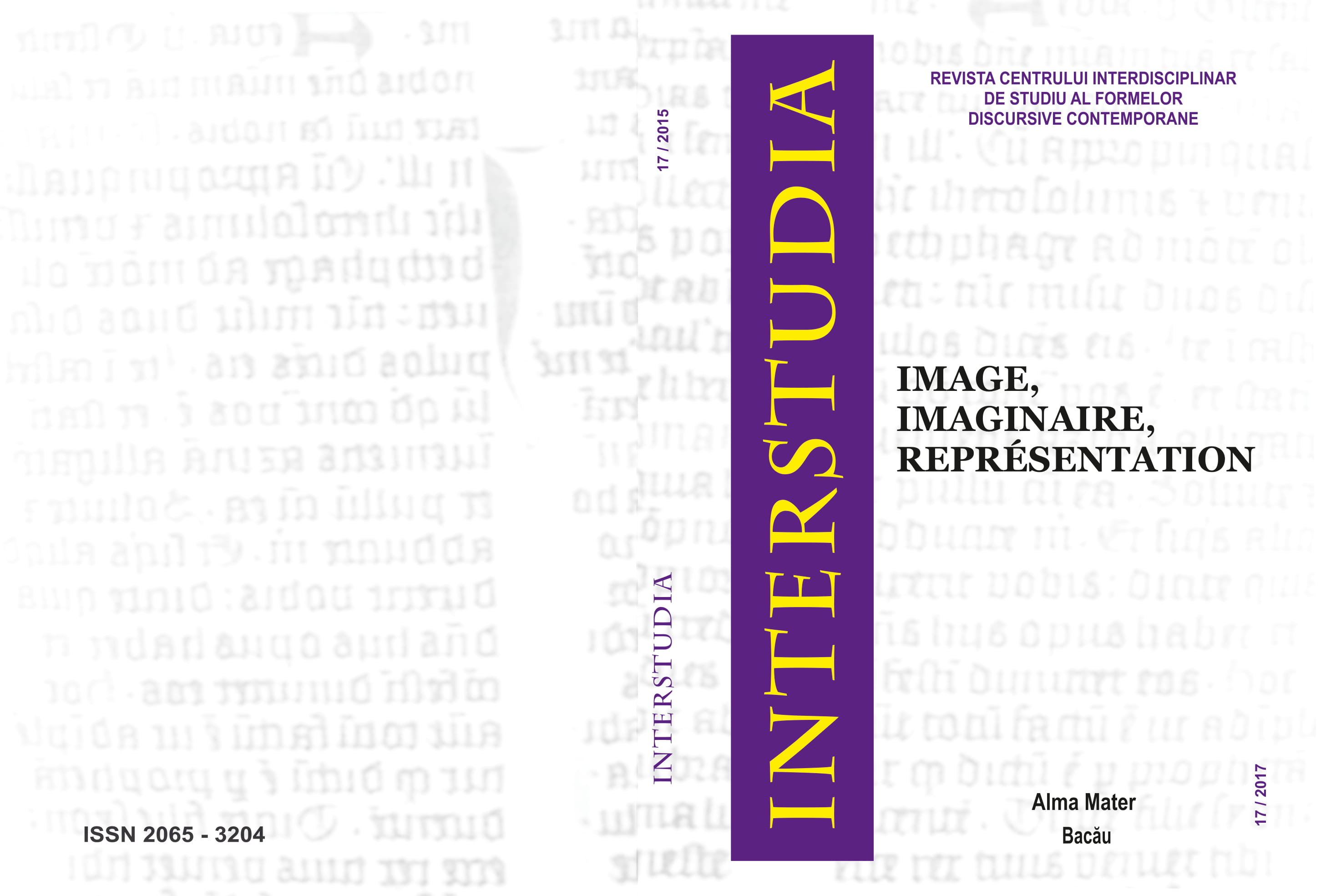
L’imaginaire cartographique à l’épreuve de l’art
5.00 €
Preview

L’imaginaire cartographique à l’épreuve de l’art

Author(s): Julien Verhaeghe / Language(s): French Issue: 17/2015

La carte géographique a toujours su fasciner les artistes. Au fil du temps, les frontières distinguant la carte de l’œuvre figurative sont devenues si minces que l’on ne les discerne plus réellement, en particulier lorsque des artistes du XXème siècle ont entrepris d’employer la carte soit pour documenter le réel qu’ils visaient à figurer, soit pour ses motifs esthétiques intrinsèques. Or ce même XXème siècle est aussi celui qui voit succéder à une logique de l’histoire une logique de la spatialité et des territoires. C’est pourquoi l’avènement d’un monde fait de flux et de connexions rend nécessaire l’adoption non tant d’un imaginaire cartographique, mais d’une pensée géographique. La carte telle qu’employée par les artistes n’est plus illustrative, ni même fonctionnelle, elle devient injonction éthique et politique, à l’image du travail de Thomas Hirschhorn, car ce qui importe est de savoir capter la complexité du réel afin de produire de la pensée - ce que fait la carte dans le cadre d’une philosophie dévolue à Deleuze - plutôt que d’en mimer les aspérités, tel un calque, car alors l’art et la pensée ne font que se répéter. De là pouvons-nous envisager à la suite d’une géophilosophie deleuzienne, une géoesthétique.

More...
Wieruszów na mapie szwedzkiej z 1702 r. Przyczynek do dziejów miasta i zamku

Wieruszów na mapie szwedzkiej z 1702 r. Przyczynek do dziejów miasta i zamku

Author(s): Radosław Herman,Wojciech Dudak / Language(s): Polish Issue: 18/2018

Spatial development of Wieruszów has not become the subject of research so far. Therefore, every document showing the image of this city in the past is very valuable. In this context, a very important historical source is the map of the Swedish army camp near Wieruszów from 1702. The article presents this document and discusses the circumstances of its creation. The map contains the oldest currently known city plan, road system and environmental conditions around Wieruszów. What is also marked is the basic urban layout and several major buildings, including the headquarters of the city’s owners. This is the only known representation of the castle of Wieruszów from which one can learn about its basic layout. The article analyzes the structure of the city from the early 18th century and compares it with the plan of Wieruszów in the 20th century.

More...
Film Kartografisi: Sinemasal Mekâna Dair Felsefî Düşünceler

Film Kartografisi: Sinemasal Mekâna Dair Felsefî Düşünceler

Author(s): Olgu Yiğit / Language(s): Turkish Issue: Sp. Iss/2020

The mainstream film cinema studies, including film researches, embrace the same approach also in history writing and have the mainstream cinema theories in their center. These theories mostly are at pains to look into the core of the movie and thus have the film material itself and\or its director in focus. However, on the other hand, the inherent properties of the cinema itself are what make an interdisciplinary and thus holistic look necessary, because elements which have specific different singular meanings or even no meaning at all gains its significance in the comprehensive narrative of the film. The director, who gathers or, in one sense, builds all these elements, creates the scape anew in structuring the narrative of the film. In other words, the cinematic narrative creates the space by fictionalizing it, if its source is in the physical world, or by behaving as if its source exists in the physical world, if not. Thus, consciously or unconsciously, the director uses cinematic geography such that it becomes a part of the narrative, rather than just a background. In the studies of the New Cinema History, whose claims about the director are substantially different from the ones of the mainstream cinema studies, both physical and cinematic spaces have just begun to be studied with the extraordinarily original method of cartography. Also, in this study, the literature in cinematic cartography, which deems the director not only a mere auteur, writer, or painter as in the mainstream approach, but also a cartographer, and which enables the cartographic method in creating and analyzing the cinematic narrative, will be overviewed. In the scope of the present study, firstly, the philosophical context rendering the ontology of cinema possible will be explained. Secondly, the theoretical framework of the cinematic cartography will be presented, and the terms necessary to understand this framework will be analyzed. Thus, cinematic meaning studied by cinematic cartography opens the way for reevaluating the space in the narrative with a philosophical insight.

More...
TERYTORIALIZUJĄC MORZE. O PERFORMATYWNOŚCI WŁADZY I ROLI KARTOGRAFII W REJONIE MORZA POŁUDNIOWOCHIŃSKIEGO

TERYTORIALIZUJĄC MORZE. O PERFORMATYWNOŚCI WŁADZY I ROLI KARTOGRAFII W REJONIE MORZA POŁUDNIOWOCHIŃSKIEGO

Author(s): Edyta Roszko / Language(s): Polish Issue: 1/2015

This article is an anthropological contribution to the standard geopolitical and legal analyses of the South China Sea dispute and to the existing debates on the problem of territoriality, sovereignty and nationalism. In contrast with those studies, which analyse the South China Sea dispute and the growing competition over natural resources by looking mainly at major state actors, I focus on fishermen communities in China and Vietnam that bear the historical, geopolitical, and economic consequences of this territorial issue. Thus, I propose the interpretation that takes into account historical, social, and cartographic imaginations of nationhood in the context of the competing Chinese and Vietnamese maritime claims to the Paracels and Spratly Islands. Conceptualising maps not as representations of territory but rather as a process, I analyse the ways in which cartographic discourses are used by different groups of actors to produce and enact sovereignty, citizenship, and national identity through activities that make the sea territory legible on the local, national, and global scale.

More...
Literackie kartografie w keralskich hagiografiach tradycji adwaita wedanty

Literackie kartografie w keralskich hagiografiach tradycji adwaita wedanty

Author(s): Olga Nowicka / Language(s): Polish Issue: 4/2019

The proposed paper deals with so far unrecognized regional hagiographic tradition of Śaṅkara – the great Indian philosopher and alleged creator of the pan-Indian Advaita Vedānta monasticism – in Kerala (South India). This literary tradition is represented by a series of lesser-known texts in Sanskrit and Malayalam. The objective of this article is to examine some of the cultural and literary methods of space valorization and creation of literary cartographies. The sacred topography created through the hagiographic narrative causes the overlap of spatial religious concepts and physical geography of temples, monasteries and pilgrimage sites. Therefore, the theoretical approach applied during the examination of the hagiographic tradition in question remains informed by the method of literary cartography.

More...
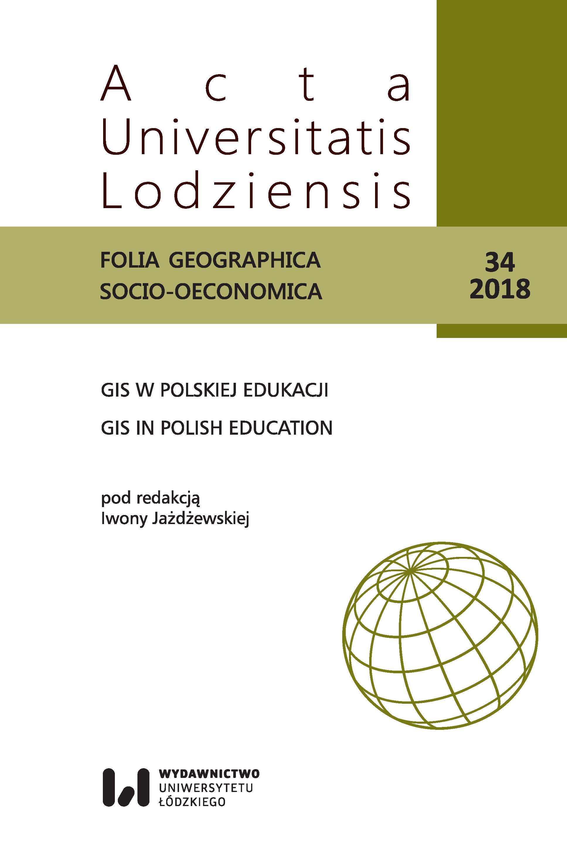
Zastosowanie Systemów Informacji Geograficznej (GIS) w dydaktyce geograficznej. Przykład ćwiczeń terenowych „Geografia turyzmu i hotelarstwa”

Zastosowanie Systemów Informacji Geograficznej (GIS) w dydaktyce geograficznej. Przykład ćwiczeń terenowych „Geografia turyzmu i hotelarstwa”

Author(s): Jolanta Latosińska,Marta Nalej / Language(s): Polish Issue: 4/2018

The aim of the article is to present the methodology of study of the tourism function on the example of the Spała village with the use of Geographic Information Systems (GIS) and the possibility of using them for didactic purposes in the field of Tourism and Recreation on the example of field exercises ”geography of tourism and hotel industry”. The spatial range of field studies conducted as part of the exercises included the Spała village. During the exercise, two spatial methods for determining tourist function were used: land use map and point valuation. Exercises were carried out using GIS technology and tools, including ArcGIS 10.4 (desktop) and ArcGIS Online. The obtained results indicate that the tourist function of the Spała village is well developed. Areas that perform tourist and recreational functions constitute a significant percentage (over 10%) of plots and area (over 4%) of the studied area. However, the most attractive in terms of tourism are the areas located in Spała, in the center of the village, on the Pilica and Gać rivers and along the main communication and tourist routes. The great advantage of the presented methodology was the use of modern technological solutions and tools of Geographic Information Systems, including work in the cloud and with mobile devices. This allowed for: – gathering a large amount of spatial data in a short time; – developing students' skills of cooperation and teamwork; – constant supervision of the progress of field work and the correctness of the data obtained, which prompted students to work more regularly and conscientiously; – availability of research results and the possibility of discussing them directly during field exercises.

More...
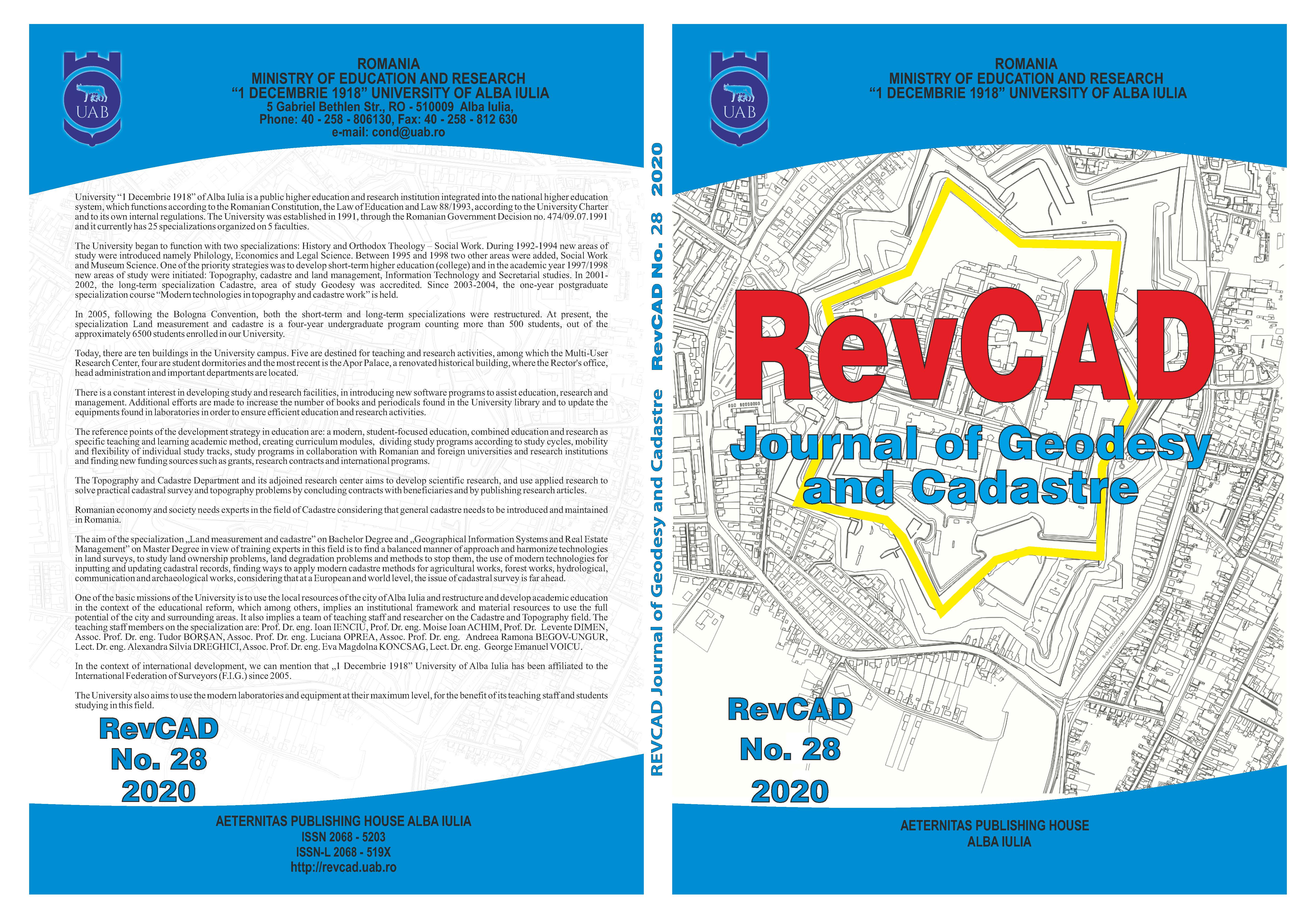
Use of Digital Land Models in Automated Execution of Embankment Works

Use of Digital Land Models in Automated Execution of Embankment Works

Author(s): Ioan Ienciu,Robert Drașovean / Language(s): English Issue: 28/2020

The following project tackles modern solutions in the execution of embankments for railroads making use of Digital Terrain models with wich machines can be guided using GPS positioning such as Autograders for leveling platforms according to the designed heights and platform slopes or Excavators in digging twinning steps, slopes covered with rip-rap and so on. The DTM’s are developed individually for each platform using ArcGIS and according to the designed heighs and offsets specified in the project.

More...
Topographic Works Necessary to Prevent Landslide on Forest Roads

Topographic Works Necessary to Prevent Landslide on Forest Roads

Author(s): Ioan Ienciu,Robert Drașovean / Language(s): English Issue: 28/2020

The forest road is a permanent communication route which includes all the works related to the optimal development of the traffic: bridges, signs, consolidation works or any other constructions or arrangements included in the forest road project. Considering the location of these communication routes, as well as the natural and anthropic factors that influence their lifespan, through this project we aimed to present the usefulness of topographic works for raising and tracking the action of natural phenomena that influence the infrastructure of a exploitation road. These works have the role of providing a more detailed and precise digital terrain model of the situation in order to develop constructive technical solutions to counteract the destructive activity of these phenomena.

More...
Study Regarding the Degree of Performance the Cadastre Works in Crăciunelu de Jos Territorial Administrative Unit

Study Regarding the Degree of Performance the Cadastre Works in Crăciunelu de Jos Territorial Administrative Unit

Author(s): Luciana Oprea,Ioan Voina,Daniel Cioara / Language(s): English Issue: 28/2020

In the present, our country is trying to carry out the works for the introduction of the general cadastre in as many administrative and territorial units as possible, through the “National Cadastre and Land Registry 2015-2023”. On this context, it will be strengthened to realize the cadastre of the land fund in order to establish equitable taxes and duties throughout the national territory. At the same time, in parallel, sporadic cadastre works are carried out to serve the urgent needs of citizens. In this context, this paper presents the case study regarding the introduction of the cadastre within the Crăciunelu de Jos Territorial Administrative Unit.

More...
Result 461-480 of 1162
  • Prev
  • 1
  • 2
  • 3
  • ...
  • 23
  • 24
  • 25
  • ...
  • 57
  • 58
  • 59
  • Next

About

CEEOL is a leading provider of academic eJournals, eBooks and Grey Literature documents in Humanities and Social Sciences from and about Central, East and Southeast Europe. In the rapidly changing digital sphere CEEOL is a reliable source of adjusting expertise trusted by scholars, researchers, publishers, and librarians. CEEOL offers various services to subscribing institutions and their patrons to make access to its content as easy as possible. CEEOL supports publishers to reach new audiences and disseminate the scientific achievements to a broad readership worldwide. Un-affiliated scholars have the possibility to access the repository by creating their personal user account.

Contact Us

Central and Eastern European Online Library GmbH
Basaltstrasse 9
60487 Frankfurt am Main
Germany
Amtsgericht Frankfurt am Main HRB 102056
VAT number: DE300273105
Phone: +49 (0)69-20026820
Email: info@ceeol.com

Connect with CEEOL

  • Join our Facebook page
  • Follow us on Twitter
CEEOL Logo Footer
2025 © CEEOL. ALL Rights Reserved. Privacy Policy | Terms & Conditions of use | Accessibility
ver2.0.428
Toggle Accessibility Mode

Login CEEOL

{{forgottenPasswordMessage.Message}}

Enter your Username (Email) below.

Institutional Login