Jihomoravské šibenice na mapách Prvního vojenského mapování
South Moravian gallows on maps of First Military Mapping
Author(s): Josef Unger, Alica Křápková
Subject(s): Regional Geography, Maps / Cartography, Criminology, 18th Century
Published by: Masarykova univerzita nakladatelství
Keywords: The First Military Mapping; execution sites; 18th century; South Moravia; gallows;
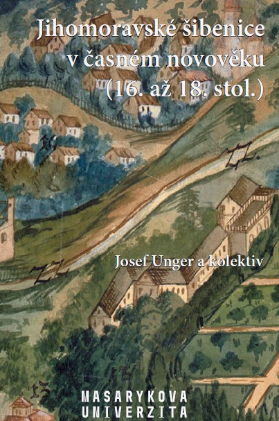
Summary/Abstract: The First Military Mapping is an important source for locating relics of execution places. It was carried out between 1764-1768 with subsequent rectification in 1780-1783. Signs for gallows are different. They differ mainly in the colour and type of displayed scaffold. The location of the gallows was determined by several factors. On the one hand, a safe distance to the city had to be kept because of the smell of rotting bodies and also the presence of wild animals around, but it had to be accessible on foot as executions were public events and were watched by crowds. The maximum distance in regard of the terrain could be around 3 km. Places, where according to the First Military Mapping, gallows were situated, were visited, inspected and documented from 2014 to 2019 in order to keep track in the terrain. In total, there are 40 places in cadastres of 35 municipalities. Due to the crop marks and not completely unambiguous localizations, the results may not be final, and it is possible that they will be supplemented by further monitoring.
Book: Jihomoravské šibenice v časném novověku (16. až 18. stol.)
- Page Range: 53-82
- Page Count: 30
- Publication Year: 2019
- Language: Czech
- Content File-PDF