Using GIS for Landslides Graphical Representation. Case Study in Cornăţel (Hârtibaciului Plateau)
Using GIS for Landslides Graphical Representation. Case Study in Cornăţel (Hârtibaciului Plateau)
Author(s): Gheorghe Roșian, Csaba HorváthSubject(s): Geography, Regional studies, Physical Geopgraphy, Applied Geography, Geomatics
Published by: Editura Casa Cărții de Știință
Keywords: glimee type landslides; graphical representation; distribution; GIS;
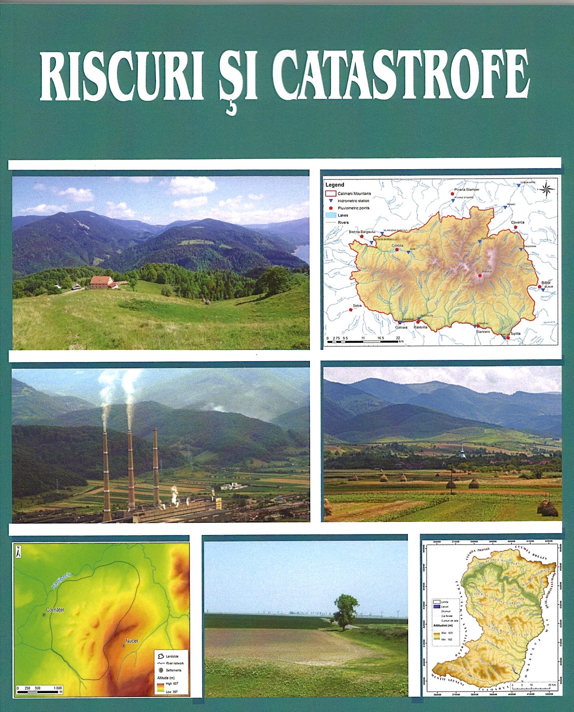
Summary/Abstract: This paper it’s part of the present concern regarding the graphical representation of landslides. A very particular category of landslides is the glimee type. Of the territories in which they are frequently encountered, the Transylvanian Depression must be noted. Despite that these landslides are considered stable, since they occurred thousands of years ago, they were affected in time by various geomorphological processes. These include the recent (shallow) landslides, runoff on the slope, etc. For a correct graphical representation of both the old landslide and the current processes, which by their manifestation contribute to the genesis of new relief microforms, a GIS methodology was used. By using it, one can obtain both a graphical representation of various generations of landforms and can also make calculations allowing them to find out exactly their surface. This aspect has obvious practical connotations. As case study we used the landslide of Cornăţel, located in the south-western part of Hârtibaciului Plateau, an old glimee type landslide.
Journal: REVISTA RISCURI SI CATASTROFE
- Issue Year: 26/2020
- Issue No: 1
- Page Range: 21-28
- Page Count: 8
- Language: English