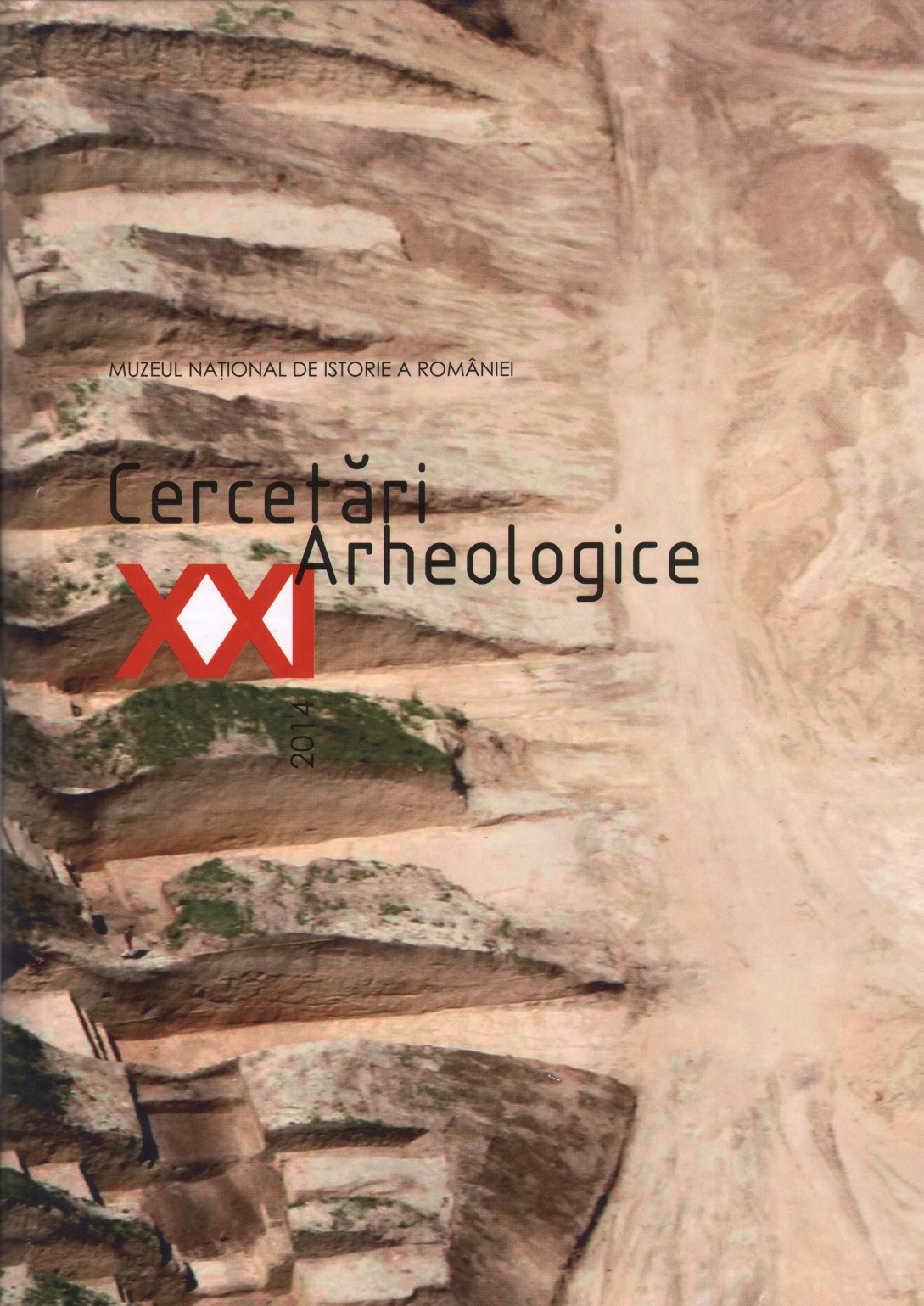
Valul mare de pământ. Cercetare arheologică preventivă pe Autostrada 2 Bucureşti – Constanţa, tronsonul Cernavodă – Medgidia, km 159+000–159+150 zona localităţii Făclia, com. Saligny, jud. Constanţa
The large earth vallum. Preventive archaeological excavations, A 2 motorway trajectory, Bucureşti – Constanța, Cernavodă- Medgidia sector, km 159+000 -159+ 150, Făclia - Saligny, Constanţa county
Author(s): Oana Damian, Mihai Vasile, Eugen Paraschiv-Grigore, Andra Samson, Ioana Paraschiv-Grigore, Daniel Ene, Florentin Munteanu, Constantin HaităSubject(s): Archaeology
Published by: MUZEUL NAȚIONAL DE ISTORIE A ROMÂNIEI
Keywords: Dobrudjan linear fortifications; valla; the large earth vallum; mound; ditch;
Summary/Abstract: The large earth vallum is a liniar fortified complex, 41km long, crossing Dobrudja from West to East, continuously parallel to the former Carasu Valley, nowadays the Danube - Black Sea Canal. The preventive archaeological research campaigns 2011-2012 on the site of the large earth vallum was occasioned by the construction of the a2 motorway. following a brief review of the technical data concerning the Dobrudjan linear fortifications, especially the large earth vallum, as results of the field observations and investigations (trajectories, constituent and constructive elements - earth batters, ditches, forts and castles, dimensions, spatial and temporal relations), the present paper focuses on the new observations about the structure of this earthwork. the total width of the fortification ( consisting of northern ditch, mound, southern ditch) was thus about 30-36 meters; the large earth vallum comprises two ditches: the northern one, 4-6.70 meters wide and 3-3.60 meters deep, the southern one, 3.60-6.50 meters wide and 2-3.90 meters deep, flanking a mound about 2-2.90 meters high, set back some 8-10.40 meters from the northern ditch edges. The mound was built using material dug from both contemporary ditches. Considering the data recorded and the analysis of the archaeological finds (pottery and a weapon), the proposals for the dating the fortification indicate the 91 h - I 01 h centuries, allowing to restrain the interval to the 91 h century.
Journal: Cercetări Arheologice
- Issue Year: XXI/2014
- Issue No: 1
- Page Range: 291-326
- Page Count: 36
- Language: Romanian

