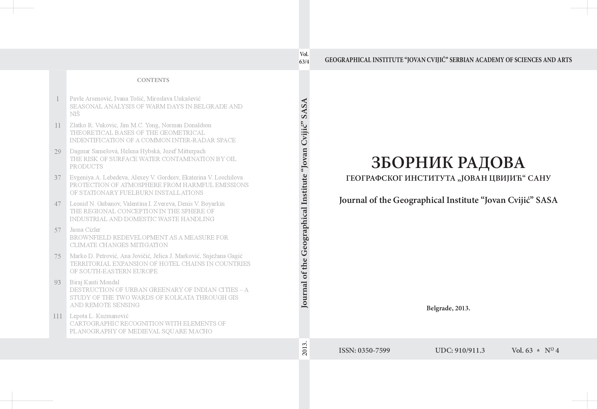
Destruction Of Urban Greenary Of Indian Cities – A Study Of The Two Wards Of Kolkata Through Gis And Remote Sensing
Destruction Of Urban Greenary Of Indian Cities – A Study Of The Two Wards Of Kolkata Through Gis And Remote Sensing
Author(s): Biraj Kanti MondalSubject(s): Human Ecology, Rural and urban sociology, Environmental interactions
Published by: Географски институт »Јован Цвијић« САНУ
Keywords: Vegetation Cover; Geographic Information System; Remote Sensing;
Summary/Abstract: At present the rampant construction and poor compensatory plantation are taking a heavy toll on Kolkata’s environment. Now, Kolkata’s green cover stands at a dismal 5%, which is below the requirement of 15% for the Indian Metros. Last year Kolkata and its adjoining area have lost more than 5,000 trees to development projects, unauthorized chapping and natural causes. This has pushed up the carbon count by an alarming 5,500,000 kg. per year. The environmentalists feel that, the impact of this loss would be felt in the coming years. Thus, the rapid destruction of the urban greenery from the Indian city’s environs affects the urban ecology and causes environmental degradation. Therefore, an attempt has been made here to analyze the urban greenery or vegetation profile of Kolkata at micro level. Vegetation covers of ward 19 and 20 of Kolkata Municipal Corporation Area along with the search of its low existence (KMCA) has been worked for the study. To speed up mapping and decision making, remotely sensed satellite data have been advocated and GIS technology has been used to represent the research work more advanced.
Journal: Зборник радова Географског института "Јован Цвијић" САНУ
- Issue Year: 63/2013
- Issue No: 4
- Page Range: 93-110
- Page Count: 18
- Language: English

