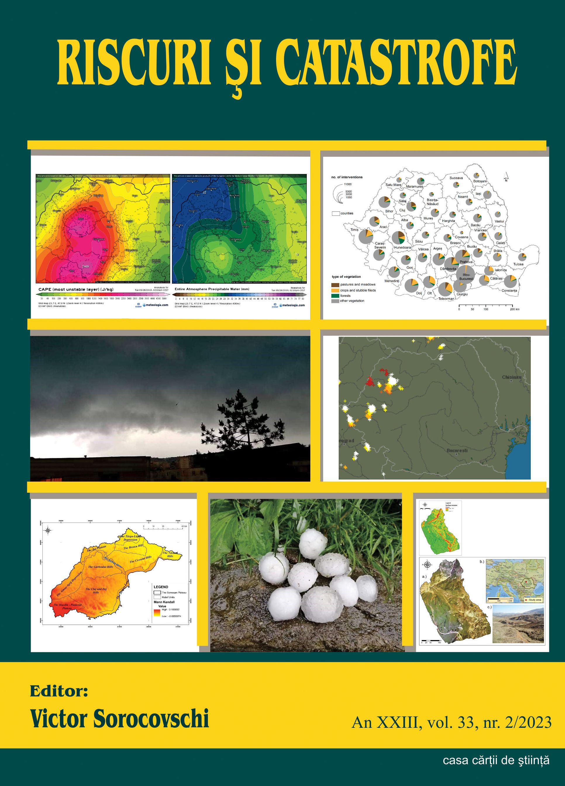
Advanced Geomorphological Analysis of Erosion Dynamics at Făgetu Ierii: Integrating UAV Techniques and GIS for Enhanced Precision.
Advanced Geomorphological Analysis of Erosion Dynamics at Făgetu Ierii: Integrating UAV Techniques and GIS for Enhanced Precision.
Author(s): Gheorghe M. Rus, Gheorghe Roșian, Ștefan Bilașco, Rozalia Benedek, Csaba HorváthSubject(s): Geography, Regional studies, Physical Geopgraphy, Applied Geography, Geomatics, Maps / Cartography
Published by: Editura Casa Cărții de Știință
Keywords: UAV; erosion; GIS; USLE;
Summary/Abstract: This article delves into the realm of high-resolution geomorphological analysis, with a particular focus on soil erosion assessment. To achieve a more precise analysis of surface erosion, our study selected the former quartz sand exploitation site at Făgetu Ierii, in the Iara commune. This location serves as a focal point for studying various geomorphological processes, including landslides and gully formation, characterized by their significant intensity. Traditional methods for monitoring erosion dynamics involve substantial investments in both human effort and technical resources. This entails on-field tasks such as identification and detailed measurements, as well as office-based activities involving mapping and spatial analysis. Recognizing the challenges associated with these conventional approaches, our research explores more efficient methods that harness rapidly evolving modern technology. In this pursuit, the adoption of Unmanned Aerial Vehicle (UAV) techniques and methodologies appears as particularly promising. UAVs facilitate the creation of comprehensive databases capturing the three-dimensional (3D) structure of the terrain within the study area. The advantages are multifaceted: UAVs significantly reduce the time and costs associated with fieldwork while simultaneously enhancing the precision and accuracy of digital databases. These databases play a pivotal role in conducting spatial analysis within Geographic Information Systems (GIS), allowing for a more accurate identification of the impact and risk factors present in the territory. This study underscores the transformative potential of UAV technology in advancing geomorphological analysis, enhancing our understanding of erosion processes, and supporting sustainable land management practices in areas vulnerable to erosion due to both natural and human-induced factors.
Journal: REVISTA RISCURI SI CATASTROFE
- Issue Year: 33/2023
- Issue No: 2
- Page Range: 111-122
- Page Count: 12
- Language: English